Tyne Estuary Field Trip
advertisement
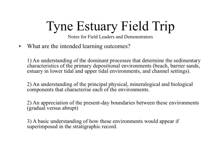
Tyne Estuary Field Trip Notes for Field Leaders and Demonstrators • What are the intended learning outcomes? 1) An understanding of the dominant processes that determine the sedimentary characteristics of the primary depositional environments (beach, barrier sands, estuary in lower tidal and upper tidal environments, and channel settings). 2) An understanding of the principal physical, mineralogical and biological components that characterise each of the environments. 2) An appreciation of the present-day boundaries between these environments (gradual versus abrupt) 3) A basic understanding of how these environments would appear if superimposed in the stratigraphic record. John Muir Country Park, Dunbar, East Lothian This part of East Lothianand and its coastline was covered in ice at the last glacial maximum (approx. 18,000 yrs ago). Since then, the glacial sediment has been reworked by fluvial and tidal currents to form the coastline sediments seen today. This trip aims to study the variety of sedimentary environments, what determines their sedimentary chracteristics, and how this might be preserved in the stratigraphic record. Logistics • • • The buses will be departing one hour after each other at 9.00, 10.00 and 11.00 o’clock. It will take approximately 45 minutes to drive there, and the buses should park in the John Muir country park, the car park being next to the East Links Family Park (see maps below). The field component of the day will take 4 hours maximum, and the conditions will be windy and cold. The low tide is at 11.34, rising to high tide at 18.06. The trip involves walking straight out from the car park across the lagoonal region, and over the dunes onto the beach (see map below). Having left the car park, turn left along the footpath by the toilet block. Follow this footpath for about 100m until a bridge, then turn right soon after to cross the marshy lagoon area (it’s drier up here). Having crossed the lagoon and the dunes, turn left along the beach (see map). From there, walk along the beach until the end of the spit is in sight. From here, the aim is to carry out a traverse of the main environments based around four main stops (shown below). They should construct a topographic cross-section in their notebooks as they go along. It will be about 1km long from location 1 to 4, and will need to have some vertical exaggeration. Onto this, they should annotate the important points concerning the environments, and the the boundaries between environments. Planned route for virtual excursion and location numbers spit 1 2 estuary 3 45 Coaches park here STOP 1 • From this stop, the questions to pose are: 1. What are the dominant processes that transport sediment on the beach environment? Ans – wave and tide energy. Tidal range is 2.5 (neap) to 4.0 m (spring) – Discuss spring and neap tides. 2. What implications does that have for the surface form? Ans – Planar, dipping offshore, usually too rough to preserve ripples in winter, but common in calm summer conditions as tide recedes. 3. Where does the sediment come from?Is it along-shore drift, from the rivers or from wave erosion of modern rocky shorelines? Ans. Mainly from wave and tide reworking of vast piles of glacially derived sediment generated during the last glaciation finishing around 18 Ka. 4. What implications does it have for sedimentary texture? Look at sediment and consider grain sizes, sorting, shape. Is there much bioclastic material? How is it preserved? Ans - lot of broken fragments. COLLECT A SEDIMENT SAMPLE TO EXAMINE IN THE PRACTICAL 5. Are there any living organisms that might be preserved in the ancient as fossils? Not many, except lugworms and some razor shells at very low tide. SO both should generate vertical burrows. The vertical burrows reflect the necessity for organisms to be able to move vertically in beach environments in order to respond to rapidly shifting levels of sediment. 6. What defines the boundaries to this environment and is this a gradual or abrupt change? Ans – High tide and low tide marks, but as this varies depending on weather and neap/spring cycles, the boundary is gradual over several to tens of metres. The most recent high tide mark is characterised by scattered weed and debris, but usually there is evidence for storm high tides. 7. Why do storms induce flooding? Combination of high waves, and storm set-up that is generated by low pressure systems. For each millibar of pressure change, sea-level responds by approximately 1cm, hence typical low pressure systems raise sea-level by approximately 0.5m. Consider the importance of low frequency, large magnitude events. Location 1 - the seaward beach 1 2 3 45 How is the sediment transported? Ebb & flood tidal currents River flow Q. Do you think the majority of the coastal sediments come from along-shore drift or from river discharge? A. Most sediment will come from along-shore drift and wave reworking of glacial sediments deposited at the edge of the ice sheet which was near the coastline around here. Where does the sediment come from? In-situ bioclastic production (e.g. shells) Alongshore tidal transport River transport Q. What proportion of the beach sediment do you think is made up of bioclastic material? Location 1 - Beach with high wave energy and tidal fluctuations. Beach environment is laterally homogeneous and continuous High tide mark with coarsest debris Q. How might you expect the sediment in the dunes to differ from that on the beach? Clues - consider the different ability of wind and water to carry different grainsizes? A. The dune sediments will be better sorted, and finer grained, as wind can B. only transport grains up to ~0.5 mm in diameter and grainsize Boundary between beach and dune environments is transitional over a few metres. Wind-blown sand preserved in dunes with Marrum grass colonisation What orientation would you expect the boundary between the sediments that record these environments to be when projected beneath the ground? Clue- consider what would happen to this boundary during a sea-level rise? Ans. During sea-level rise it should dip beneath the beach, and during sea-level fall, it would dip inland. Typical Beach sands Location 2 2 3 45 1 STOP 2 • 1. 2. 3. 4. 5. Walk over the dunes, through the Marrum grass to the estuary side and consider the contrast between the processes and deposits on the beach at location 1, and in the dunes, and then at the margins of the estuary. Pose a similar set of questions to each of these environments as at location 1. Having observed the processes and sedimentary characteristics, make sure they understand the following points: That the dune environment requires wind transport, and that therefore, the grain sizes are smaller (usually less than 0.25mm), and well sorted, and lack a lot of the bioclastic component. The surface forms are irregular, and therefore, cross-bedding or irregular bedding will be the normal internal structure. Rootlets are also likely to be preserved. COLLECT A SAMPLE That the estuary environment is very different, and that there is an abrupt boundary between it and the landward side of the spit. That the estuary environment contains more mud, and that if you dig down, there are alternations of mud and sand – these are likely related to storm wash over the dunes. The estuary also contains a high diversity of shelly material (oysters, cockles, mussels, and other large bivalves), plus more evidence of worm burrowings – you should be able to see worms if you dig fast enough. That the estuary is protected from high wave energy, and strong tidal currents, hence this increases the mud content, the nutrient levels, and the diversity and number of organisms. COLLECT A SAMPLE Think about what these environments are doing in response to the sea-level rise that is now taking place along this shoreline (see figure for rates of sea-level change). Topography of dune environment Extensive, fine network of rootlets in the dune sands Location 2 - Behind the dunes and onto the estuary. Back of dune environment Abrupt boundary between the dunes and the protected estuarine setting Q. How will this boundary be preserved in the stratigraphic record? A. It depends on how fast these environments are getting buried by sediment versus how fast the environments are moving - the practical will investigate this in more detail. Colour change between the two settings indicating different sedimentological characteristics. Coarse, bioclastic (shelly),poorly sorted sands. This material is part of a spit that is encroaching over the estuary. During each incoming high tide the spit is remobilised by both wave and tidal currents resulting in its progressive migration. Q. Where are you more likely to find well-preserved shells in their life position? A. In the muds as they record less reworking and abrasion by waves and tides Muds with shell fragments Abrupt boundary between spit and estuary Q. Which of these environments do you think is has a greater volume of organisms living in it, and why? A. The muds as they will be much richer in organic nutrients on which worms, mussels, cockles and shrimps will feed. Coarser intervals in the succession at the boundary between the dune and estuarine environments STOP 3 This stop involves a brief pause while traversing the edge of the estuary to look at the nature of the sediments as you progress inland. Note that they become finer grained (very muddy), and that they preserve fully articulated bivalve shells. These fine grained sediments are deposited at slack high water. In these settings, grain size actually increases as you go further offshore due to the higher flow velocities during rising and falling tides compare to the slack high water. The well preserved shells also reflect the quiet water environment. Also note that the mussel banks are in the lower intertidal regions. Again, get them to COLLECT A SAMPLE Mid- to upper Estuarine setting dominated by muds with current ripples (ebb tidal flow) and fully articulate bivalve shells. Mussel banks in the lower estuary setting STOP 4 • 1. 2. At this location, it is possible to view the characteristics of a small river channel that feeds into the edge of the estuary. Ask the students to make a sketch and label the following: The meandering character of the channel, and consider how the gradient of the channel banks vary with respect to the meanders. Is there evidence of erosion on any of the banks? (see photo showing erosion on outer bend of meander). Note where sediment accumulation will take place on the lower gradient inner bend and introduce the term ‘point bar’ at this stage. Note that if the point bar is the point of sediment accumulation, then the depositional character of the resultant sediments should incorporate low angle cross-bedding. These features can be seen upstream of the bridge where the floodplain is vegetated (see photo). The evidence of coarse pebbles and boulders in the base of the stream. Consider where these might have come from – Ans. They’re presumably reworked glacial sediments from higher up that are very occasionally remobilised during high discharge. Point bar Erosion of outer bank Coarse debris in channel Reworked glacial debris? Location 5 Point Bar Erosion of outer bank STOP 5 • This stop attempts to bring together some of the environmental observations in terms of a consideration of how they might get preserved in the stratigraphic record. The students should make a drawing of the small cliff section, and observe the primary boundary within it, and incorporating the vegetation at the top. There should be cross-bedded, grey shelly sands in the lower part of the succession, and then finer grained, reddened cleaner sands at the top. • A probable interpretation for this is that it represents the seaward motion of the coastline during the ~6000 year stillstand in sea-level in this region. During this time, dune environments migrated out over planar and cross-bedded sands of the beach environment. Since then, sea-levels continued to fall in response to the post-LGM isostatic rebound. However, the recent tidal records suggest that the sealevels are now rising along this coastline, and so the recent estuarine deposits will accumualte over the unconformity that represents the post LGM lowstand. Get the students to schematically project this beneath the ground on their annotated cross section. • Clearly, the above is an oversimplification as the tidal regime was probably different 6Ka, but the important point to convey is that there has been a seaward superposition of environments, and that this is the basis of Walther’s Law (I doubt anyone has mentioned this phrase to them before, John brings it in at the beginning of second year). • Having finished, follow the footpath between the woods and the fields of the East Links family park back to the car park (see map). Location 2 2 3 45 1 Modern soil Finer grained red sandstones Abrupt boundary Lower, cross-bedded shelly sands Seaward superposition of environments Reddened rootleted fine sandstones – dune facies? Planar bedded sands – typical beach facies Cross-bedded shelly sands For a modern analgue, it is possible to see large dune fields in the lower intertidal zone of the Tyne estuary/beach. Exact interpretation of this succession is not simple. The Tyne estuary was much larger, flooding all the way to East Linton, Therefore, it would have had greater tidal amplification, hence, the modern System is not an exact analogue cf. 6Ka. Modern Soil with roots penetrating underlying environments

![PERSONAL COMPUTERS CMPE 3 [Class # 20524]](http://s2.studylib.net/store/data/005319327_1-bc28b45eaf5c481cf19c91f412881c12-300x300.png)
