Factors Affecting Climate: Latitude, Elevation, Wind & More
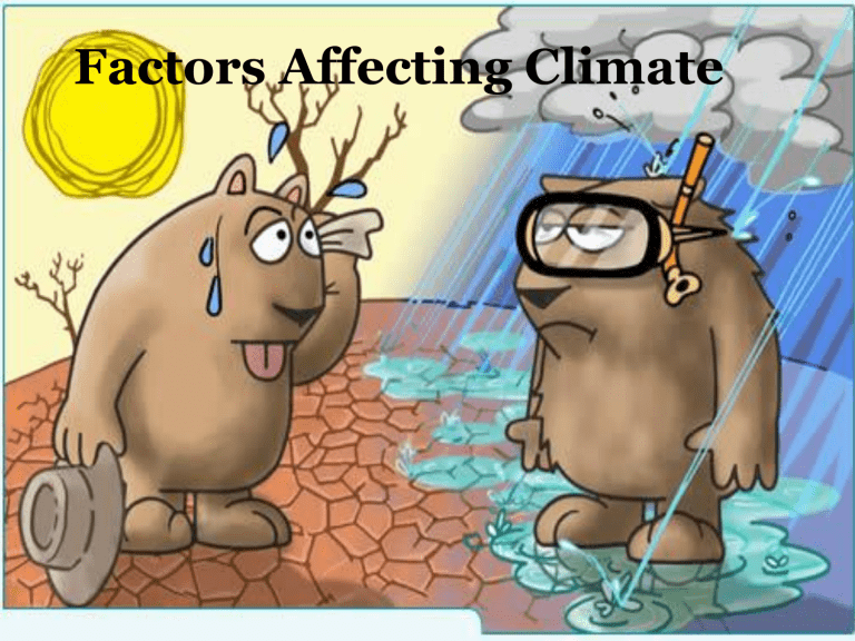
Factors Affecting Climate
Latitude
How far north or south a place is on Earth can determine what type of climate it has
Low latitudes – the area between the Tropic of
Cancer and the Tropic of Capricorn, including the
Equator.
The low latitudes receive the most direct sunlight year round
Warm to hot climate, very tropical
Latitude
High Latitudes – the earth’s polar areas
Very cold due to a lack of direct sunlight
Mid-latitudes – the area in between the high and low latitudes
In the summer the mid-latitudes are warm
In the winter the mid-latitudes are cold
In general, the climate is temperate – not too hot, but not too cold
There can be dramatic seasonal weather changes
Describe what your closet would look like in each of the three latitude areas?
Elevation
Elevation can affect climate in an area
As elevation increases the earth’s atmosphere thins
Thinner air retains less heat, so temperature drops
In general for every 1000 feet of elevation increase, the temperature will drop 3.5 degrees
EXAMPLE: Quito, Ecuador has an average temperature that is 32 degrees cooler than other cities nearby
Wind
Wind distributes the suns heat around the earth
Winds blow in patterns, not at random, called prevailing winds
Winds are often named for the direction they blow or from names given during early history when sailing was important
Trade winds – the wind that blows in the low latitudes
Westerlies – the wind that blows in the mid-latitudes
Polar easterlies – the wind that blows diagonally east to west pushing cold air toward the mid-latitudes
Ocean Currents
Just like wind, water in the ocean moves in patterns called currents
Ocean currents have a tremendous affect on the climate in coastal areas
For example, a warm water current flows from the
Caribbean Sea toward Europe. That is why places like England typically do not have bitterly cold weather
Landforms
Bodies of water, mountains, and other landforms can affect climate
Example: Lake Michigan causes very strong wind to come off the lake and hit Chicago
Example: The Rain Shadow Effect in California
