Fyke and Lipscomb #2
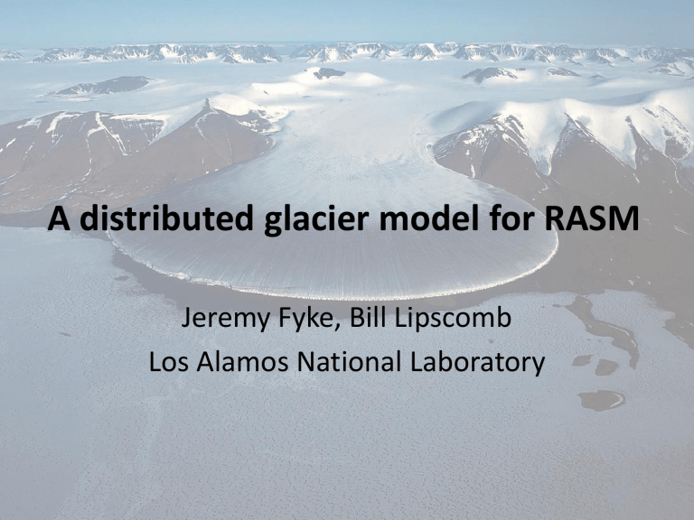
A distributed glacier model for RASM
Jeremy Fyke, Bill Lipscomb
Los Alamos National Laboratory
• Goal: Simulate the coupled evolution of
Arctic glaciers and ice caps within RASM
– Evolving land ice area
• Affects vegetation extent and albedo
– Evolving land ice volume
• Affects global mean sea-level and
Arctic Ocean freshwater fluxes
Why model glaciers and ice caps?
• Mass loss from glaciers and ice caps is raising global mean sea level by ~0.5–1.0 mm/yr
(Meier et al. 2007, Jacob et al. 2012)
• This is comparable to the sea-level contribution from the Greenland and
Antarctic ice sheets
• Over centuries of warming, ice sheets will dominate, but over upcoming decadal scales
(e.g. RASM simulations), glaciers matter
The problem of scale, non-continuity and dependence on fine-scale topography
Dynamic modeling vs. scaling/statistics
• The evolution of the Greenland Ice Sheet (and large ice caps?) is best modeled with a dynamic ice sheet model (e.g., CISM).
– Need bed topography, 3D SMB, and numerical techniques
• It is not practical to model ~100,000 Arctic ice caps/glaciers in the Arctic with explicit dynamics.
– For most glaciers we have no bed/thickness data
• Small ice caps and glaciers are best modeled (either singly or as a distribution) with semi-empirical area/volume scaling laws.
– No bed topography or thickness data needed
– Just need elevation-dependent area (hypsometry) & surface mass balance, b(z), at grid-cell scale
Scaling laws
• Semi-empirical scaling laws (Bahr et al., 1997, 1998, 2009…) relate characteristic glacier area to characteristic volume, elevation range, accumulation area ratio (AAR)
• Can estimate exponents by physical reasoning (e.g., γ=1.37 for glaciers, 1.25 for ice caps)
“not good for one glacier, but
V
= cA g
R
= kA h
good for thousands…”
Lyell Glacier, California Devon Ice Cap, Canada
Bahr et al., 1997
Scaling-law model requirements
• Initial location and hypsometry (area-elevation distribution) for every Arctic glacier
– Impossible requirement until early 2012 release of
Randolph Glacier Inventory: global-coverage database of
153,429 polygon glacier outlines
– RGI + ASTER 30m-resolution imagery = individual glacier hypsometry
• Annual-average vertical profile of glacier SMB
– Currently prescribed (standalone mode)
– Coupling to climate model requires land surface calculations at multiple dynamic elevation levels for each land surface grid cell (implemented for CLM, UVic ESCM, in
progress at GISS)
Basics of a distributed glacier model
• Data provide glacier area-elevation distribution (hypsometry) and number-size distribution
• Climate model provides b(z) for a given grid cell.
• DGM computes area-integrated glacier mass balance
• b > 0 implies glacier advance, b < 0 implies retreat
• Volume change: ΔV = b A Δt
• Area change: From area-volume scaling, V i
= c A i
γ
• Change in terminus elevation: From area-range scaling,
R i
= k A i
η
• Change in area-elevation distribution: Assume similar shape of hypsometric profile over time?
• Repeat…
Prototype prognostic model
Net gain
(accumulation)
• Slight deviation from standard recipe:
• Prescribe vertical equilibrium line altitude change (from land surface SMB model)
• Generate new AAR
• Nudge area/volume towards characteristic equilibrium AAR
Net loss
(ablation)
Test-case Iceland: hypsometry
Test-case Iceland: forcing
• Model forced with an idealized 200 m rise in ELA
(equivalent to 2°C temperature change, with no change in precip)
• Smoothed hypsometry extracted for 299 glacier outlines in Iceland inventory
• Each glacier run forward for 2000 years (a few
serial minutes on a laptop for everything – trivial)
• Individual ice mass changes converted to integrated change in volume
Test simulation
• NEED: volume evolution (SLR equiv) of Iceland
General coupling of glaciers/ice sheets to RASM will require some model development thinking
…
• Vertical profiles of annual-average SMB multiple dynamic-elevation-dependent land surface calculations per grid cell
– ‘virtual’ (zero-area) or ‘allocatable’ land columns
• Vegetation model should follow retreating ice margin…
…or yield to dynamically advancing ice margin…
…and global conservation of heat/moisture should be maintained during any ice margin migration
• How to integrate two land ice modules (‘scaling’ for many small glaciers and ‘dynamic’ for few large ice caps) into RASM?
…and science thinking
• What is the contribution of glaciers/ice caps to Arctic
Ocean freshwater flux (compared to snow melt)?
• How important is glacial topography/albedo to regional/pan-Arctic climate on decadal scales?
• How does interannual variability affect Arctic SMB
(how does RASM simulate interannual variability)?
Issues with individual-glacier approach
• Delineated ‘glacier’ polygons in RGI may be multiple dynamic glaciers
• Tidewater glaciers break ‘scaling law’ rules
• Glacier inception: scaling model cannot grow new glaciers in currently un-glaciated terrain
– May not be an issue in a warming climate
• 10 5 glaciers may become a database/memory issue, especially in a parallel environment… continuous glacier number-size distribution n(a)
(analogous to sea ice thickness distribution g(h))
