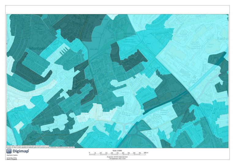
Contains ONS or NRS data licensed under the Open Government Licence v.3.0. Contains OS data © Crown copyright and database rights 2022 Ordnance Survey (100025252). FOR EDUCATIONAL USE ONLY Scale 1:5000 0 50 100 150 200 250 300 stephanie hughes University of the West of England Projection: British National Grid 28 September 2022 15:53 350 m i 400 450 500 m p a
