1 Announcements
advertisement
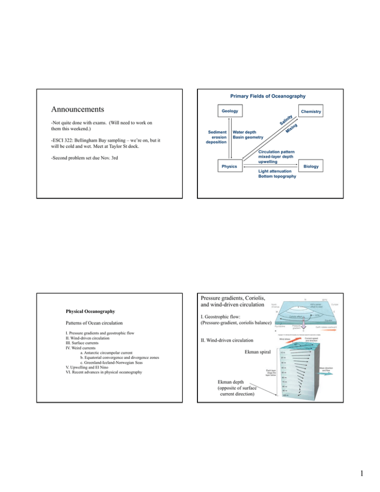
Primary Fields of Oceanography Announcements -Not quite done with exams. (Will need to work on them this weekend.) -ESCI 322: Bellingham Bay sampling – we’re on, but it will be cold and wet. Meet at Taylor St dock. Geology Sediment erosion deposition Chemistry Water depth Basin geometry Circulation pattern mixed-layer depth upwelling -Second problem set due Nov. 3rd Physics Biology Light attenuation Bottom topography Pressure gradients, Coriolis, and wind-driven circulation Physical Oceanography Patterns of Ocean circulation I. Pressure gradients and geostrophic flow II. Wind-driven circulation III. Surface currents IV. Weird currents a. Antarctic circumpolar current b. Equatorial convergence and divergence zones c. Greenland-Iceland-Norwegian Seas V. Upwelling and El Nino VI. Recent advances in physical oceanography I. Geostrophic flow: (Pressure-gradient, coriolis balance) II. Wind-driven circulation Ekman spiral Ekman depth (opposite of surface current direction) 1 Balance of forces on a water parcel moving at constant velocity in the Northern Hemisphere Pressure gradient terms Pressure gradient Geostrophic flow Velocity • Barotropic fields • Baroclinic fields Isobars and isopyncnals parallel Isobars and isopyncnals inclined Coriolis Friction Wind-driven flow Coriolis Wind stress Velocity Sea surface Isobar Isopycnal Level surface Locations: 1 2 Calculating the baroclinic component of geostrophic flow from salinity and temperature distributions Distance offshore (km) 3 Water depth (m) Water depth (m) Velocity Force Direction of flow (out of screen) Blue (negative velocity) is into the page Red indicates low velocity Distance offshore (km) 2 Large-scale patterns of atmospheric circulation Polar Cell Ferrel Cell Hadley Cell Why doesn’t the Antarctic circumpolar current turn left? In northern hemisphere In southern hemisphere Pressure Gradient Sea-surface slope Downwelling Upwelling Convergence Divergence 3 Terrigenous Abyssal clay Siliceous radiolarian ooze Siliceous diatom ooze Calcareous ooze Image from: http://wps.prenhall.com 4 North Atlantic Deepwater formation and East Greenland Current Pressure, wind and flow in EGC (from Hopkins 1991) Patterns of water flow and dynamic height in Greenland, Iceland, and Norwegian Seas: New current discovered in Greenland sea Largest Nordic dense-water plume to feed the ocean conveyor Top: Surface circulation Bottom left, computed sea-surface height (dynamic height) East Greenland Current Bottom right, temperature at 200 m Below, figure from textbook North Icelandic jet Våge et al. Nature Geoscience 2011 5 Ocean circulation • Rules of thumb: – Geostrophic flow • Water moves right of pressure gradient in NH • Water moves left of pressure gradient in SH – Wind-driven flow • Surface water moves ~ 45° right of wind in NH (left in SH) • Average flow 90° right of wind in NH (left of wind in SH) Numerical simulations of ocean circulation Computed sea level + satellite altimetry • Example: NASA’s perpetual ocean • http://svs.gsfc.nasa.gov/vis/a010000/a01080 0/a010841/3827_Perpetual_Ocean-540MASTER_high.mp4 Westward intensification and skewed “mounds” within gyres 6 Thermohaline circulation (Formation and transport of water masses in the deep ocean) Atlantic: N. Atlantic Central water (9oC, 35.3 %o) N. Atlantic Deep Water (2.5oC, 35.03 %o) Gr/Ic/Nor Sea Deep Water (-0.5oC, 34.9%o) Some of the water sources for NADW. Caballing: NADW sinks in winter, assisted by wind-driven evaporative cooling. 7 south Pacific Ocean Top 1000 m Top 1000 m Atlantic Ocean T S T S Neutral density γn O2 γn O2 north south north south north south north Neutral density (γn) across the Atlantic from W to E (Florida to West Africa) Flow to north Dashed line: hypothetical level surface Flow to south Baroclinic pressure gradient direction Plot from WOCE dataset 8 Coastal Upwelling • Patterns are due to combination of wind, coriolis and pressure • Net results: – Delivery of cold, nutrient-rich water to the shoreline – Enhancement of coastal productivity ENSO – El Nino/La Nina Southern Oscillation Upwelling off WA state 9 El Niño Southern Oscillation ENSO – El Nino/La Nina Southern Oscillation • El Niño: – – – – – – Reduction in trade winds Sea-level rises in E. Pacific, drops in W. Pacific Pycnocline deepens in E. Pac, shallows in W. Pac Surface water warms in E. Pac. Flooding in E. Pac, coral bleaching in W. Pac Droughts in Asia (W. Pac) because rain falls over Pacific Ocean before making land fall – Relatively mild, dry winter in WA state ENSO – El Nino/La Nina Southern Oscillation • • • • Data from latest NOAA report Current research topics: Satellite oceanography – Ocean surface topography Current conditions: El Nino Little snow at Mt. Baker this winter Don’t buy a season pass. What about The Blob? – Warm high pressure and water in N Pacific facilitates development of El Nino. 10 Satellite oceanography – Surface wind field From microwave measurements of sea-surface roughness Surface wind-velocity field from satellite images of surface waves Satellite oceanography – Sea-surface temperature Important topics in physical oceanography: Weather forecasting – winds, currents and sea surface temperature Global climate change – heat and mixing in the ocean Coupled physical-biological models of the ocean Coastal processes – coastal erosion, sediment transport Climate change effects on circulation, mixing and sea ice Model of ocean circulation (NOAA, NASA): http://svs.gsfc.nasa.gov/vis/a010000/a010800/a010841/3827_Perpetual_Ocean-540-MASTER_high.mp4 11 Fukushima-derived 134Cs 134Cs in water 134Cs in organisms Computer simulation of the spread of radioactive 137Cs from Fukushima From Buesseler et al. PNAS 2012 Behrens et al. Env. Sci. Res. Lett. 2012 12
