Major Aquatic Data - An Overview Monongahela National Forest NHD Stewardship Meeting
advertisement

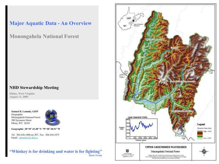
Major Aquatic Data - An Overview Monongahela National Forest NHD Stewardship Meeting Elkins, West Virginia August 11, 2009 Samuel R. Lammie, GISP Geographer Monongahela National Forest 200 Sycamore Street Elkins, WV 26241 Geographic 38º 55’ 43.48” N 79° 58’ 38.51” W Tel: 304-636-1800 ext 207, Fax: 304-636-1875 Email: slammie@fs.fed.us “Whiskey is for drinking and water is for fighting” Mark Twain GIS aquatic datasets Hydrologic units (HUC 4th, 5th, Youghiogheny 05020006 6th) 1:24000 scale NHD high resolution stream reaches 1:4800 scale local resolution 100 ft riparian buffers Major rivers (and lakes) North Potomac 02070002 Tygart 05020001 Elk 05050007 Cheat 05020004 South Potomac 02070001 Gauley 05050005 Greenbrier 05050003 The Monongahela National Forest (MNF) contains the headwaters of five major river systems: the Monongahela, Potomac, Greenbrier, Elk, and Gauley Rivers. Twelve river segments on the MNF are considered eligible for potential inclusion in the National Wild and Scenic Rivers System. There are more than 600 miles of coldwater streams and 350 miles of warm water streams across the Forest. Although the State of West Virginia manages many stream segments as put-and-take trout fisheries with seasonal trout stocking, some estimates indicate that 90 percent of West Virginia’s native brook trout streams occur on the MNF. GIS aquatic datasets As shapefiles As file geodatabases ArcGIS Diagrammer Hydrologic units wbdhu8 wbdhu12 Hydrologic units and their relevance to project work Upper Greenbrier watershed assessment (north half of Deer Ck-Greenbrier) Examples of project work: - Non-commercial vegetation mgmt - Road decommissioning and maintenance - Timber harvest units Stream reaches • Comparison of 1:24000 to 1:4800 scale Fcodes at 1:24000 scale Riparian corridors (100 ft buffers) Major rivers • Potential Wild and Scenic Rivers • Elk River – 5 mi segment – designation for study status – using a ¼ mile buffer


