Measuring and Predicting Natural Disasters
advertisement
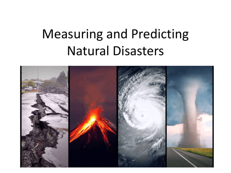
Measuring and Predicting Natural Disasters DO NOW MONDAY • Why is it important to learn about and be able to predict and prepare for natural disasters? • TODAYS PLAN – Analyze and interpret data on natural disasters to forecast future events – Explain how technology can be used to predict and prepare for natural disasters. • TODAYS DO – We will discuss technology that allows natural disasters to be measured and predicted. – We will discuss your opinions on an article about government mandated evacuation for a natural disaster. Why its important to measure and predict natural disasters • Engineers must understand the causes and behavior of our planet’s natural forces so they can help people survive natural disasters. • They design devices that help us minimize, eliminate, or predict the effects of natural disasters. • Detecting, predicting, and warning about natural disasters help populations evacuate and/or seek shelter. How engineers measure and predict natural disasters • Engineers design mountain, ocean, earth, and atmospheric monitoring devices. • They design weather instruments, radar, and satellites to collect data and make predictions. • Sometimes engineers make devices that trigger smaller hazards in order to prevent larger ones. Preventing Avalanches • https://www.youtube.com/watch?v=B0RWLx OFGLY • Technology: No method to predict • Prevention: – Avalanche mortars are designed by engineers to trigger small avalanches before enough snow builds up to cause a catastrophic avalanche. – The explosion shakes the snow loose from the slope, causing a small avalanche that will cause much less damage than a large avalanche would. Avalanche Mortar Detecting Tsunamis • Technology: Tsunamis can be detected. – Engineers design special buoys (floating devices) that can be left far out at sea to detect tsunami waves early. – This gives time for coastal areas to be evacuated. – Sensors placed on the ocean bottom can detect even small tsunamis. – Sensor information is sent to the buoys, then to satellites that then send the information to tsunami centers. – This system collectively is known as DART (deepocean assessment and reporting of tsunamis) Detecting Tsunamis Detecting Earthquakes • Technology: Earthquakes can be detected and measured. – The most common way of detecting anf measuring earthquakes is a seismometer (makes a printout called a seismograph). Detecting Measuringand andMeasuring recording earthquakes earthquakes. Seismometer Seismograph Detecting Earthquakes • Seismometer: device used to detect vibration in the Earth’s surface – Can detect earthquakes that people can’t even feel – Are often placed near fault lines to detect very small earthquakes to help predict when a large earthquake might occur Measuring Earthquakes • A. There are at least 3 different measures for rating earthquakes. • B. Three methods for measurement: • 1. Mercalli Scale • 2. Richter Scale • 3. Moment Magnitude Scale Mercalli Scale: Rates earthquakes on the level of damage at a certain place Richter Scale Moment Magnitude Scale (MMS) Each level of magnitude is about 32 times more than the last. Comparing Magnitudes • Earthquake with a magnitude of 6 on Richter Scale? • Moderate damage • 10 times the energy of a Magnitude 5 Quake • Earthquake with a Magnitude of 6 on the MMS? • Moderate damage • 32 times the energy of a Magnitude 5 Quake Detecting Tornadoes and Hurricanes • Technology: Tornadoes and Hurricanes can be detected – Engineers created Doppler radar stations that are able to detect approaching thunderstorms. – Doppler radar sends out pulses or radio waves, then measure how long it takes the waves to bounce off objects (such as hail or rain) and return – This information can help scientists determine size of the storm, direction it’s moving, and its severity. Detecting Tornadoes and Hurricanes Detecting Tornadoes • Tornado spotters are also used to activate tornado warnings. Measuring Tornadoes • Tornado intenisty is measured on the Fujita scale. • Based on the damage the tornado inflicts on human built structures and vegetation Measuring Tornadoes Measuring Hurricanes • Hurricanes are classified as category 1 through category 5 based upon their sustained wind speed. • The scale used is the Saffir-Simpson Hurricane Wind Scale. Measuring Hurricanes Predicting Volcanic Eruptions • Technology: Volcanic eruptions can be predicted – One indication that a volcano is about to erupt is that the volcanic mountain grows larger as magma moves toward Earth’s surface. – Though this change is difficult to notice because the growth is so small and takes so long, engineers have developed tiltmeters that can detect small changes in the shape of volcanoes. – Tiltmeters are placed directly on the side of volcanoes to help predict upcoming eruptions. Predicting Volcanic Eruptions Monitoring Floods • Technology: Floods can be monitored with technology. – Floods are monitored with a water gauge. – A water gauge is a vertical post marked with water depths and placed in rivers and streams that flood often. – If the water rises over a certain level on the gauge, neraby communities may be evacuated to prevent loss of lives. – Some fancier water gauges automatically relay information to local data centers. Monitoring Floods Debate • Should the government have the power to make people evacuate?
