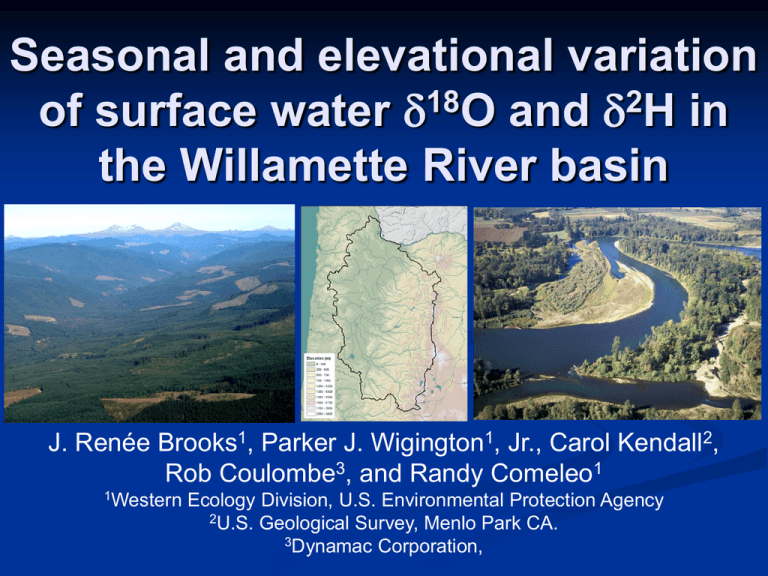
Seasonal and elevational variation of surface water O and H in
advertisement

Seasonal and elevational variation of surface water d18O and d2H in the Willamette River basin J. Renée Brooks1, Parker J. Wigington1, Jr., Carol Kendall2, Rob Coulombe3, and Randy Comeleo1 1Western Ecology Division, U.S. Environmental Protection Agency 2U.S. Geological Survey, Menlo Park CA. 3Dynamac Corporation, Project Goals Part of a larger EPA project to determine biological, physical and chemical linkages between non-navigable headwater streams and wetlands to the nation’s navigable waters. Isotopes could be a useful for tracing these linkages. Specific Objectives Charactize spatial and temporal variation of d18O and d2H in small watershed streams within the Willamette Valley. Determine the major drivers of variation. Use the variation as a tool for understanding navigable river dynamics and linkages to small streams. Water isotopes are partitioned by hydrologic fluxes Water isotopes change with phase changes: Vapor ↔ Liquid (precipitation and evaporation) Liquid ↔ solid (freezing and thawing) Solid ↔ Vapor (snow and sublimation) Variance in Precipitation 40 GMWL dD = 8 d18O +10 20 0 Precipitation d2dD H (‰) -20 1 2 3 -40 in Ra ou c ffe te t -60 Cloud Vapor -80 1 m Te 2 p e ur at r e c fe ef t 3 -100 -120 -16 -12 -8 -4 d18O (‰) 0 4 Evaporation 40 GMWL 20 RH=100% 0 Slope depends on RH 2H (‰) ddD -20 Evaporation line (RH<100%) -40 Remaining liquid water -60 Water Vapor -80 Precipitation input (temperature & rainout dependent) -100 -120 -16 -12 -8 -4 d18O (‰) 0 4 Study Site Willamette River Basin, Oregon. Bordered by Coastal Range (West) Cascade Range (East) Elevation gain most on East border. 1m Annual Precipitation Patterns 4m Mediterranean Climate Warm dry summers Cold wet winters 95% of rain falls between Oct May Study Design Southern Willamette Focus Willamette River Samples at each river confluence 6 Major Tributary Middle Fork Willamette River McKenzie River Calapooia River North Santiam River Luckiamute River Marys River Samples are collected quarterly Summer low flow (September) Fall wet up (November) Winter rains (February) Spring snowmelt (May) Temporally Intensive sampling East-West Transect 3 Rivers: Calapooia River North Santiam River Luckiamute River Additional samples are collected in between the quarterly samples RESULTS Characterizing variation of the Small Elevational Watersheds Isotopes in Corvallis Precipitation 0 -2 18 O (‰) -4 -6 -8 -10 -12 -14 WY2003 WY2004 WY2005 WY2006 WY2007 WY2008 WY2009 WY2010 Small Watershed Elevation Gradient 0 -5 Small Elevation Watersheds 18 O (‰) d18O = -7.83 – 0.00304(Elevation) -8 -10 -12 d2H = -54.7 – 0.0212(Elevation) -60 -70 2 H (‰) -40 -80 -90 0 200 400 600 800 1000 1200 1400 Mean Watershed Elevation (m) 1600 1800 Rainout vs Elevation Coast Range Drainages -6 Cascade Drainages Luckiamute River North Santiam River Mary's River McKenzie River -8 18 O (‰) -10 -12 -6 Storm Trajectory Storm Trajectory -8 -10 -12 0 200 400 600 800 1000 1200 1400 1600 1800 200 400 600 800 1000 1200 1400 1600 1800 Mean Watershed Elevation (m) Evaporation Effects -40 2 H (‰) -50 -60 -70 -80 -90 -12 -10 -8 18 O (‰) -6 -4 Small Watershed Seasonal Pattern Luckiamute River North Santiam River -50 -60 High Elev -70 H (‰) -90 2 -80 -50 Low Elev McKenzie River Calapooia River -60 -70 -80 Oct 10 Jun 10 Feb 10 Oct 09 Jun 09 Feb 09 Oct 08 Oct 10 Jun 10 Feb 10 Oct 09 Jun 09 Feb 09 Oct 08 -90 Small Watershed Best Subset Regression Analysis d2H R2adj 79.0% F Variable 2108 81.3% 1218 WS Elevation + Evap + Evap 84.1% 986 +WS Slope 85.5% 827 Variable WS Elevation + Long d18O R2adj 70.5% F 1339 87.3% 1935 + Long 89.5% 1595 +WS Slope 90.5% 1330 *Variables tried in model for small elevational watersheds: WS Area, WS Elevation, WS Gradient, Flowpath Length, Topographic Index, Mean WS Slope, Evap, Latitude, Longitude, Season and Water Temperature. Isoscapes based on small watershed elevation d18O 2 dH Small Watershed Elevation Gradient -40 Small Watersheds R2adj = 79% 2H (‰) -60 -70 -80 -90 0 200 400 600 800 1000 1200 1400 Mean Watershed Elevation (m) 1600 1800 -40 Small Watersheds Major Tributaries 2H (‰) -60 -70 -80 -90 0 200 400 600 800 1000 1200 1400 Mean Watershed Elevation (m) 1600 1800 -40 Small Watersheds Major Tributaries Willamette River 2H (‰) -60 -70 -80 -90 0 200 400 600 800 1000 1200 1400 Mean Watershed Elevation (m) 1600 1800 Seasonal Patterns -68 Willamette River -70 -72 -76 2 H (‰) -74 -78 -80 -82 -84 Sep 08 Dec 08 Mar 09 Jun 09 Sep 09 Dec 09 Mar 10 Jun 10 Sep 10 Dec 10 Seasonal Changes in Source Water Loc Fall Winter Spring Summer Will-1 d2H (‰) -73.0 -70.5 -73.1 -79.2 668 Will-6 876 Elev (m) d2H (‰) Elev (m) 857 -78.4 1,114 735 -76.6 1,026 858 -75.7 986 1,152 -82.0 1,286 d2H = -54.7 – 0.0212(Elevation) Simple Willamette Mixing Model Average Valley d2H = -62.0 (<800 m) Average Mountain d2H = -79.3 (>800 m) Winter Summer 49% + 51% 99% + 1% Simple Willamette Mixing Model Mean Monthly Flow (m3s-1) 1800 Willamette River Valley Water Mountain Water 1600 1400 1200 1000 800 600 400 200 0 Oct 08 Feb 09 Jun 09 Oct 09 Feb 10 Jun 10 Oct 10 Summary Variation in small watershed streams: Elevation effect caused by rainout of precipitation No seasonal variation in small streams Minor evaporation effects Willamette River and Large Tributaries Water sources skewed to higher elevation Water sources shift seasonally Increasing 400 m during the summer low flows Willamette summer low flows are highly dependent on mountain water Useful tool for characterizing linkages between water bodies. Continue monitoring Willamette River water isotopes. How do Willamette water sources change with climate? What is the impact of changing snowpack? Elevation pattern specific to West Coast Characterization technique can be used in many locations.


