Reducing NN Phragmites and Tall Manna Grass Threats to Your Waters! Brock Woods
advertisement
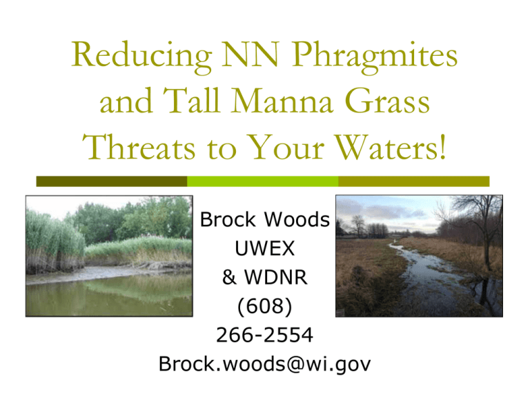
Reducing NN Phragmites and Tall Manna Grass Threats to Your Waters! Brock Woods UWEX & WDNR (608) 266-2554 Brock.woods@wi.gov Phragmites australis in Wisconsin (Common reed grass) Native Phrag grows statewide Non-native shows up ~1980(?) on: Lake Michigan shores (later Lake Superior) & Mine site Spreading inland, mostly along roads, then to waterways & wetlands Phragmites Threatens Your Waters! Tall, exotic perennial grass that: Reduces shoreline use Changes aesthetics Reduces plant & animal diversity Reduces recreational uses Reduces wetland ecosystem services Reduces land values Native and Non-Native Phragmites Phragmites australis, subsp. Americanus Stem color Ligules Glumes Stem Texture Phragmites australis, subsp. australis Native: Smooth & Shiny N-N: Dull & Ridged Stem fungus Native: circle dots N-N: No circle dots Seed head Leaf color Other features In winter “Naked is Native” and leaf sheaths absent or pull away easily N-N: Leaf sheaths retained and hard to pull off. Photo credits: Anton Reznieck, University of Michigan DNR treatments began in 2011on extensive sites on Lake Michigan Light green fringe along the shores & inland wetlands Millions may be spent here for temporary control…? Phragmites was Spreading Inland Vehicles and mowers along roadways move seed & stem fragments Moving contaminated fill (with rhizomes) Human pursuits (WWTFs, gardening, landscaping, hunter blinds, etc.) Nature: birds, wind, flowing water, etc. Phrag moving inland often starts as small road sites that grow… Dispersal by seed, construction, mowing, etc. …spread to new remote sites… Mack State Wildlife Area From State Hwy 54 2012 status? (Reported Phrag sites in 2016) Statewide NN Phragmites Control/containment Strategy New DNR/UWEX project: Find/eliminate pioneer Phrag sites in GL basin counties (ED/RR) Find/eliminate all the few/tiny populations in western Wisconsin (ED/RR with partners) Control Jackson Co. 1980 mine site Devise containment of dense Phrag stands in eastern counties Continue Lk. Mich. shoreline efforts Outreach to statewide partners! 2012 status? (Reported Phrag sites in 2016) Plan for our 2013-2016 ED/RR Phrag Project ($220K GLRI) Find Phrag sites-field contacts, DB mining Site confirmation & areas Landowner contacts-ROWs & beyond Permits-NR 107, NHI, WDOT Select & oversee contractor(s): 280 sites treated in 2014, 1223 in 2015 w/ Lk.Sup. New 2016 sites: NEED MONITORING HELP Re-treat sites: NEED MONITORING HELP Prep for the future-outreach, training DNR’s ED/RR Phrag Project Herbicide treatment details 1. Hired four Contractors used imazapyr (label rates) applied in by Backpack sprayers Boom mounted sprayers Wick Applicators* (*method was to be used where sensitive vegetation) 2. One contractor did aerial spraying of two areas of high stand density in Fond du Lac Co. 3.Treatments done in late summer/fall 4. No cutting or burning thru 2015 Phragmites in Wisconsin-2014 Site data are mostly reports from mining a variety of on-line spatial data bases (veracity of most unconfirmed) Red & black sites = NN (reported) Green sites = Native Purple line= NR-40 Split-listing Circuitous olive & yellow lines = GL basins Current reported Phragmites sites in Wisconsin (& nearby) 2016 Red and black sites = Non-native (reported) (most red sites in western Wis. are likely native) Green sites = native (most confirmed) Tall Manna Grass in Wisconsin Glyceria maxima Native to Europe Only on E. & W. Coasts and in Wisconsin/IL! First reported in Racine Co. in 1975 Wood Co. 1997, Door Co. 2003, Oneida Co. 2007 Concentrated (we think) in SE Wis. (w/outliers) Small late summer stand Large early winter stand Threatens both streams & wetlands Robust, tall, perennial grass that can: Reduce native species diversity & associated recreation Restrict stream access Impede water flow Cause local flooding Accelerate siltation encourage mosquitoes Reduce land values Stream flows are reduced Unimpeded stream Stream flow reduced Flow eliminated! A new problem for lakes? Susceptible shorelines… Lake depth? Tell Glyceria maxima from G. grandis! G. maxima: grows up to 8.5 ft. tall; unbranched stems Variegated form has distinctive green and creamy white stripes Leaves stiff, shallowly grooved, with prominent midribs Leaf blades flat, up to 16 inches long, about 1/2 to 3/4 inch wide Leaf margins rough with short stiff hairs Leaf sheaths rough in texture Stems often reddish on lower portion Inflorescence (flower stem) is open and branched (a panicle), up to 18 inches tall, made up of many yellow to green or purpletinged narrow spikelets G. grandis: is shorter (up to 5 feet tall), has drooping infloresence branches, and smooth sheaths at the base of the infloresence brances Smaller sites have more flowering Summer view Larger sites fill up vegetatively: Stands are concentrated in SE Wisconsin -Initial reports suggested all Midwest stands were in the Lake Michigan basin -Federal funding became available for this priority species to limit dispersal But the species has already moved to another drainage: Current reports: - - - -From SEWRPC, data mining, remote sensing, field monitoring -9 SE counties: includes wetlands and stream banks/ beds -Calumet: large site -Wood Co. sites @ Marshfield -Oneida Co. site is variegated version -Door Co. island & mainland Variable dispersal mechanisms Seeds in large numbers (yg. sites) Most seeds short lived; some several to many years Water transport downstream Fragments re-sprout! Mud on footwear, vehicles, animals Forms found free-floating WDNR has secured funding for outreach & site ID and control 2015 funding: began identifying sites Many sites still need exact location coordinates, verification and stand information — you can help monitor! 2016-17 funding: continue site monitoring & begin control efforts Control to be experimental at first, but expand to many sites AQAP First efforts: reduce spread (control at margins & stream sites) How to stop these species’ spread? Work must recognize opportunities! Prevention is easiest! Get yourself & organization involved! Organize and plan! Educate! Take prevention steps! ID & report! Control (usually chemicals!!) Long-term monitoring/management RESEARCH for the long-term! Need local Partners? NGOs: CISMAs, Lake Associations Citizens! Federal/state agencies County Conservationists County Highway Depts Towns Municipalities Businesses (e.g., railroads Others?? www.greatlakesphragmites.net Easiest step is monitoring & reporting! (Here is the DNR’s WIP Monitoring Form!) Even easier is the WDNR’s web report form: email it! But please report your sightings to whatever data base is easiest for YOU! (We now monitor them all!) Summary: You can help! Keep our wetlands & shores native and diverse: To prevent stands too big to control: By reporting pioneer sites: Everyone must help! Invasives RESEARCH is critical!! Most invasive plant control work is a holding action! Elimination is tough! Some form of natural, non-herbicide control is necessary for the long-term If you agree, let your elected representatives know they must fund this kind of research! brock.woods@wisconsin.gov; 608-266-2554
