Document 11989554
advertisement

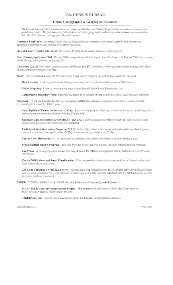
U.S. CENSUS BUREAU Online Cartographic & Geographic Resources The Census Bw'<!(w 's ~Veb silt' has numerous pages ofslalislics and Icchnica! informatioll on variOIiS economic am/ populatioll lupics. The IollmvillJ< briefdescriptions ofonline geographic and cai"/ograpJlIc resources correspond 10 the UN L Web c!Jur! 011 fhe opposile side oOltis paper. Americall FartFinder: American FactFlIlder I, a dat access and dissemination "ystem that will find and retneve geographIc mformation and plot the II1fOl1natlon on a map. State & Cou nty QuickFacts: QUlck, easy access to facts abOlll people, bllsine s, and geography. Your Gat~way to Census 2000: Census 2000 vintage decennial data depot. PTOvidcs IlI1k to all bnef , demographiC profiles, and geography. C~nsliS 2000 data, reports, Gazelleer: C nsus 2000 place, county, county subdiVISion and ZCTATM file, 1990 place name search engll1c; 1990 phce, county, and county subdl VIsion files. JHaps: This sHe provIdes access to C nsus Bureau maps. onlll1e mappmg engll1es and 3rtographlc resources. Map Products: Links to publicly available pril1ted maps nd free, downloadable maps 111 PDP fonnat. Online iYhlpping: Links to two mapping applications deri\'ed from Census Bureau map data. C<.trtographic Boulldary Files: Generalized, digital flies suitable for use w1th GIS in small-scale thematIC mapping. Geography: This sile provides access [0 all geography related information, Geographic Programs, Glossaries, Maps, Relationship Flies, and the TIGER page, Local Update of Census Addresses (LlJCA): A partner. hip program 1l1l0WIl1g the Census Bureau to benefit from local knowledge in developll1g Its Master Address File (M F). Boundary and Annexation Survey (BAS): The BAS names of all govemmental umts in the United States IS used to update information about the legal boundanes and Participant Statistical Areas Program (PSAP): Infom1ation aboLlllocal review and update OfcenSLlS btock groups. cenSllS tracts, census 'ounly divi i ns (CCDs). and census deSignated places (COPs). C~nslls Tract Resoun:t's: List ofresoLlrces for locating census traclS and addr,,;ss coding to census tTacts. School District Review Program: This 'ile prOVide School DI tl'lCI Re\'iew Program infOlmation and matcnals. LandView: A baSIC geographIc viewer that maps Cenws TIGER and demographi data as well as elected EPA and USGS data. Census 2000 Urban and Rural Classification: ThiS lIe provides mformation about the Census BUreau's urban and rural classification and criteria. ZIP Code Tabulation Arcas (ZCTAsT'1): Approximate area repre entations of u.s. Postal Sel'vice (USPS) ZIP Code service areas created by the Census Bureau to meet requests by data users for statIstical data by ZIP Code area. ZCTAs are based on the cen u~ blocks. TIGER: TIGER ,TiGER/Linc@;;, TIGER-Related Products and Frequently Asked Questions. MAF/TIGER Accuracy ImprovcmcTl! Project: ThiS Sile provides information about the Census Bureau's MAFfflGER Accuracy Improvement Project. TIGER/Line files: Spallal data files extracted from the Census Bureau's TIGER database. USCEN~LJSBUREAU 7/24/2006 Online Cartographic & Geographic Resources __--of American FactFinder hltp.llfactfinder.census.9Oil U.S. Census Bureau I State & County QuickFacts http://quickfacts.census.goll/qfdi Jl Home Page -l http://www.census.gov Maps http://www.census.gov/geolwwwlmapsl I Your Gateway to Census 2000 http://www.cenSlls.gOll/main/wwwlcen2000.html Gazetteer (2000 and 1990) hltp.llwww.cenSLJs.gov/geoJwwwlgazetteer/gazetle.hlml Geography http://www.cenSLJs.gov/geo/www/index.hlml Map-Products Geographic Programs httpJlwww.censlls.gov/geo/wwwlmaps/CP_MapProducls.hlm http://www.census.gov/geolwww/progranls.html Online Mapping Local Update of Census Addresses (LUCA) http://www, census ,gov/geo/www/maps/CP_ OnlineMappl ng .hIm httpJlwINw.cenSlJs.gov/geo/www/luca20101Iuca.html Cartographic Boundary Files Boundary and Annexation Survey (BAS) htlp:llwww.censlJs.gov/geOIYlWWlcob/ htlp:llwww.census.gov/geolwwwlbas/bashome hlml TIGER Participant Statistical Areas Program (PSAP) http://www.censLJs.golI/geo/WV'/wltigerl htlp :/lwww.census.gov/geofwww/psap20t O/psap20 10_malnNml MAFrrlGER Accuracy Improvement Project School District Review Program hltp:llwww.censlJs.gov/geo/mOdlmaftiger.html hltp:/lwww.census.gov/population/www/socoemolschoollsch-dlsl.html TIGER/Line Files Understanding Census Geography http://www.census.gov/geo/www/liger/ http.li-wvJ'N.census.gov/geo/www/reference.htll1l I I .­ Census 2000 Urban And Rural Classification Census 2000 Geographic Products hllp ./lwww, cenSUS.govlgeofwwwluafua_2k, htrnl http://www.census.govlgeo/vwlW/cenSlJs2k.html Census Tract Resources hltp.l/www.censlJs·90v/gco/www/tractez.html LandView hltp:lllandview.censlIs.goY ZIP Code Tabulation Areas (ZCTAs) hltp:/jv-'WW.census.gov/geoIZCTAJzcta .html


