Regions Maps Activity
advertisement
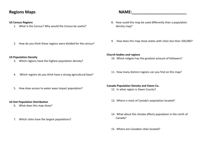
Regions Maps US Census Regions 1. What is the Census? Why would the Census be useful? 2. How do you think these regions were divided for the census? US Population Density 3. Which regions have the highest population density? 4. Which regions do you think have a strong agricultural base? 5. How does access to water ways impact population? US Dot Population Distribution 6. What does this map show? 7. Which cities have the largest populations? NAME:________________________ 8. How could this map be used differently than a population density map? 9. How does this map show states with cities less than 100,000? Church bodies and regions 10. Which religion has the greatest amount of followers? 11. How many distinct regions can you find on this map? Canada Population Density and Owen Co. 12. In what region is Owen County? 13. Where is most of Canada’s population located? 14. What about the climate affects population in the north of Canada? 15. Where are Canadian cities located? Regions—Relative locations brought together by common characteristics (both physical and/or human). Examples: language, deserts, mountains, political ideals, culture, rivers, etc. U.S. Census Regions—Regions are roughly similar in terms of historical development, population, characteristics, economy Census: an official count or survey of a population US Population Density Population density: the number of people living per unit of an area US Dot Population Distribution Church Bodies and Regions Kentucky Map Canada Population Density
