FACADE CLASSIFICATION FOR DAMAGE DETECTION
advertisement
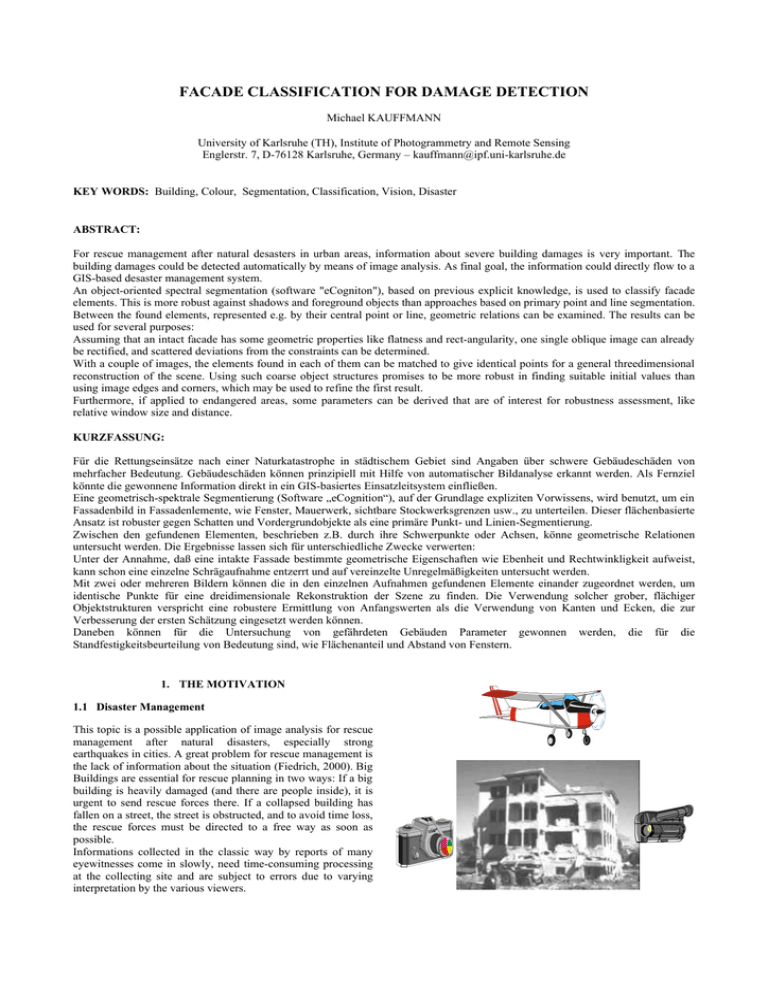
FACADE CLASSIFICATION FOR DAMAGE DETECTION Michael KAUFFMANN University of Karlsruhe (TH), Institute of Photogrammetry and Remote Sensing Englerstr. 7, D-76128 Karlsruhe, Germany – kauffmann@ipf.uni-karlsruhe.de KEY WORDS: Building, Colour, Segmentation, Classification, Vision, Disaster ABSTRACT: For rescue management after natural desasters in urban areas, information about severe building damages is very important. The building damages could be detected automatically by means of image analysis. As final goal, the information could directly flow to a GIS-based desaster management system. An object-oriented spectral segmentation (software "eCogniton"), based on previous explicit knowledge, is used to classify facade elements. This is more robust against shadows and foreground objects than approaches based on primary point and line segmentation. Between the found elements, represented e.g. by their central point or line, geometric relations can be examined. The results can be used for several purposes: Assuming that an intact facade has some geometric properties like flatness and rect-angularity, one single oblique image can already be rectified, and scattered deviations from the constraints can be determined. With a couple of images, the elements found in each of them can be matched to give identical points for a general threedimensional reconstruction of the scene. Using such coarse object structures promises to be more robust in finding suitable initial values than using image edges and corners, which may be used to refine the first result. Furthermore, if applied to endangered areas, some parameters can be derived that are of interest for robustness assessment, like relative window size and distance. KURZFASSUNG: Für die Rettungseinsätze nach einer Naturkatastrophe in städtischem Gebiet sind Angaben über schwere Gebäudeschäden von mehrfacher Bedeutung. Gebäudeschäden können prinzipiell mit Hilfe von automatischer Bildanalyse erkannt werden. Als Fernziel könnte die gewonnene Information direkt in ein GIS-basiertes Einsatzleitsystem einfließen. Eine geometrisch-spektrale Segmentierung (Software „eCognition“), auf der Grundlage expliziten Vorwissens, wird benutzt, um ein Fassadenbild in Fassadenlemente, wie Fenster, Mauerwerk, sichtbare Stockwerksgrenzen usw., zu unterteilen. Dieser flächenbasierte Ansatz ist robuster gegen Schatten und Vordergrundobjekte als eine primäre Punkt- und Linien-Segmentierung. Zwischen den gefundenen Elementen, beschrieben z.B. durch ihre Schwerpunkte oder Achsen, könne geometrische Relationen untersucht werden. Die Ergebnisse lassen sich für unterschiedliche Zwecke verwerten: Unter der Annahme, daß eine intakte Fassade bestimmte geometrische Eigenschaften wie Ebenheit und Rechtwinkligkeit aufweist, kann schon eine einzelne Schrägaufnahme entzerrt und auf vereinzelte Unregelmäßigkeiten untersucht werden. Mit zwei oder mehreren Bildern können die in den einzelnen Aufnahmen gefundenen Elemente einander zugeordnet werden, um identische Punkte für eine dreidimensionale Rekonstruktion der Szene zu finden. Die Verwendung solcher grober, flächiger Objektstrukturen verspricht eine robustere Ermittlung von Anfangswerten als die Verwendung von Kanten und Ecken, die zur Verbesserung der ersten Schätzung eingesetzt werden können. Daneben können für die Untersuchung von gefährdeten Gebäuden Parameter gewonnen werden, die für die Standfestigkeitsbeurteilung von Bedeutung sind, wie Flächenanteil und Abstand von Fenstern. 1. THE MOTIVATION 1.1 Disaster Management This topic is a possible application of image analysis for rescue management after natural disasters, especially strong earthquakes in cities. A great problem for rescue management is the lack of information about the situation (Fiedrich, 2000). Big Buildings are essential for rescue planning in two ways: If a big building is heavily damaged (and there are people inside), it is urgent to send rescue forces there. If a collapsed building has fallen on a street, the street is obstructed, and to avoid time loss, the rescue forces must be directed to a free way as soon as possible. Informations collected in the classic way by reports of many eyewitnesses come in slowly, need time-consuming processing at the collecting site and are subject to errors due to varying interpretation by the various viewers. It is a straightforward idea to use imagery to collect a huge amount of information and interpret it in a fast and standardized way. In Japan (Hasegawa et.al., 1999) investigations after an earthquake have shown that it is possible to determine building damages visually from oblique images, even with TV images that cover a large area and therefore have a small resolution for the individual buildings. The next step is to make the interpretation of the images automatic. If the determination of damaged buildings is possible, the combination with techniques that allow an automatic determination of the absolute position of the camera (e.g. GPS) would allow to fill a GIS-based disaster management system with consistent information without any interaction by humans. 1.2 Disaster prevention Better than managing a disaster is preventing it. Safety assessment and retrofitting of buildings is an important task. For determination of the earthquake resistence of a building and of the needs and possibilities to increase it, it is necessary to know some parameters of the building construction. If construction documents are not available, many of the needed information can be determined by examining the visible façade (Bostenaru Dan, 2002). For this purpose, an automatic process is useful to accelerate and standardize the interpretation. membership functions have been chosen intentionally by reasoning about the criteria that the visible parts of a building probably have. For example, for a window, the relation between length and width is not too far away from 1. The parameters for the membership functions then have been adjusted by trial and error methods. Additional features have been introduced until a satisfying result showed up. The results for simple examples were surprisingly good with a very small set of features. While object features alone did not give a satisfying result, the classification was much improved by introducing some classrelated features. For example, a window is completely surrounded by walls. Windows that appear either very light or very dark have both been recognized by contrast criteria, it has not been necessary to create different classes and merge them afterwards. Also foreground objects have been detected very well. Unfortunately, because of the recursive character of the classification process with class-related features, the classification sometimes diverges. An example of a classification is shown in Figure 1. 1.3 Other applications Although this work is done in a project that deals with natural hazards, the results may be useful for various other fields. Investigating the geometry of a façade and it’s is required e.g. in facility management and for planning of linings. 2. FACADE CLASSIFICATION 2.1 The “eCognition” approach For testing the classification of the facade images the software “eCognition”® was used. Designed primarily for land use classification of vertical aerial and satellite images, it is being used for various other interpretation tasks with images or similar datasets. It employs a classification approach that starts with a multi-resolution segmentation that generates image segments with maximum homogenity, smoothness and compactness in several scale layers. Classification methods are then applied to the whole segments, not to pixels. Classification can be performed by nearest neighbourhood classification with training samples and/or with class membership functions given by the user. The basic functions depend on features of the segments alone (object features). With features that describe relations to already found classes (class-related features), the classification can be improved iteratively. 2.2 Experiments with façades The images for the experiments were acquired using a simple SLR camera, slide film and a home scanner. Also a simple digital camera has been tested. Hence the images have no special quality and a modest resolution. So it can be expected that the found algorithms are applicable to high resolution images of larger areas, where the individual houses are imaged with similar resolution. The classification process was conducted without using training samples. The classification features and the kind of Figure 1. Façade Classification Original Image and Classification Result 3. GEOMETRIC ANALYSIS 3.1 Reducing objects to primitives For geometric analysis, the found objects can be reduced to geometric primitives, like points and lines, by representing them by the coordinates of their centre or axis. 3.2 Simple 3D reconstruction These points and lines can then be used like image primitives determined by classical feature extraction operators. For example, they can be used as tie points for the relative orientation of two or more images. The prominent points coming out of the classification promise a better chance than the points found by geometrical interest operators to be found again in subsequent images, not disturbed by shadow borders or foreground objects. Because of their small number, they can more easily be matched. Thus, an automatic orientation can be possible for general cases, where a feature based approach would need initial values to reduce the search space. The result of this coarse first orientation can be used as initial values for a precise orientation using point matching with subpixel accuracy, if needed. After the relative orientation of the images has been found in this way, the image objects can be backprojected to object space, yielding a three-dimensional model of the object. In this model, further investigations can be performed. 3.3 Using geometric assumptions The use of the found objects can be more sophisticated if some previous knowledge about the expected object geometry is introduced. For example, a very general assumption is that objects are often collinear in space. Straight lines in space are projected to a straight line in the image. Hence we can assume that objects that appear collinear in an image are probably collinear in space. To use this information, the points in each image can be grouped in straight lines. Then these lines, together with any found linear image objects, can be matched between the images. This is even more robust than matching the points themselves. 3.4 3D statements based on insufficient 2D information The previous example leads to an interesting conclusion: · In case that image objects do not fit in a collinear group, they are obviously not collinear in space. This negative statement about the three-dimensional world can be made even if the objects are visible only in one single two-dimensional image. This possibility is quite interesting for damage detection, because the most obvious characteristic of damages is that some regularity of intact buildings is no longer present. Plausible assumptions about building objects are: collinearity (of groups of points on each façade, both horizontal and vertical), complanarity (of the points and the lines within one façade), parallelity (within two groups of lines within one façade), rectangularity (of intersecting lines, both within one façade and between adjacent façade planes, and of the façade planes) and equidistance (of points in one line and of parallel lines in one plane). Related image properties: Apart from collinearity, these properties are not directly reproduced in the images. However, they are represented by characteristic properties of image objects, e.g.: Parallel lines in object space are imaged to a bundle of image lines that intersect all in one single point (the vanishing point); The cross-ratio of the distances between four points on one line is preserved; etc. Again, it is possible to state that if the required image property is not given, the related regularity is not present in object space. Building a 3D model: A regularity found in an image is not a strong prove of the related regularity in 3D. However, with the additional assumption that the image regularity is not caused by a tricky object constellation with some unusual, more complex regularity, it is possible to draw conclusions about the 3D object. E.g. if some image lines intersect in one point, it is not very probable that they image a bundle of rays, but a group of parallel lines. By introducing such information, it is possible to rectify an image or even create a meaningful 3D model of the building out of one oblique image with unkonown orientation, although three scale parameters remain unknown. Projective geometry and homogenous notation of coordinates permit a general, clear mathematical representation and computation of such geometric relations. They have been widely used in computer vision and applied to buildings measurements (Pollefeys, 1999; Hartley, 2000). 4. CONCLUSIONS Techniques of spectral classification and photogrammetry show some interesting possibilities for application to images of buildings, with special respect to damage detection and disaster mitigation. REFERENCES Bostenaru Dan, M., 2002. Interpreting the Photographical Information Stored in Multimedia GIS. XXVII EGS General Assembly, Nice, Sess. NH5 http://cosis.net/abstracts/EGS02/02679/EGS02-A-02679.pdf , full paper to be published). Fiedrich, F. Gehbauer, F., Rickers, U., 2000. Optimized resource allocation for emergency response after earthquake disasters. Safety Science, Vol. 35, Iss 1 - 3, pp.41-57. Hartley, R., Zisserman, A., 2000. Multiple View Geometry in computer vision. Cambridge University Press. Hasegawa, H., Yamazaki, F., Matsuoka, M., Sekimoto, I., 1999. Determination of building damage due to the 1995 HyogokenNanbu earthquake using aerial HDTV images. Second Conference on the Applications of Remote Sensing and GIS for Disaster Management, George Washington University (CD). Leebmann, J., Steinle, E., 2000. A dynamic GIS approach as basis for disaster management. Proceedings of the 6ICSZ, 12-15 November 2000, Palm Springs, USA Pollefeys, M., 1999. Self-calibration and metric 3D reconstruction from uncalibrated image sequences. Ph.D. Thesis, ESAT-PSI, K.U.Leuven.
