60 News from Sustaining Members
advertisement
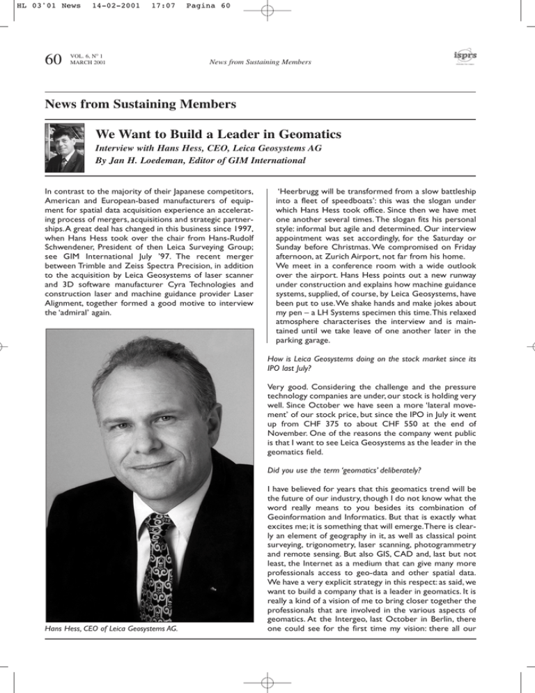
HL 03'01 News 60 14-02-2001 17:07 VOL. 6, NO 1 MARCH 2001 Pagina 60 News from Sustaining Members News from Sustaining Members We Want to Build a Leader in Geomatics Interview with Hans Hess, CEO, Leica Geosystems AG By Jan H. Loedeman, Editor of GIM International In contrast to the majority of their Japanese competitors, American and European-based manufacturers of equipment for spatial data acquisition experience an accelerating process of mergers, acquisitions and strategic partnerships.A great deal has changed in this business since 1997, when Hans Hess took over the chair from Hans-Rudolf Schwendener, President of then Leica Surveying Group; see GIM International July ’97. The recent merger between Trimble and Zeiss Spectra Precision, in addition to the acquisition by Leica Geosystems of laser scanner and 3D software manufacturer Cyra Technologies and construction laser and machine guidance provider Laser Alignment, together formed a good motive to interview the ‘admiral’ again. ‘Heerbrugg will be transformed from a slow battleship into a fleet of speedboats’: this was the slogan under which Hans Hess took office. Since then we have met one another several times. The slogan fits his personal style: informal but agile and determined. Our interview appointment was set accordingly, for the Saturday or Sunday before Christmas. We compromised on Friday afternoon, at Zurich Airport, not far from his home. We meet in a conference room with a wide outlook over the airport. Hans Hess points out a new runway under construction and explains how machine guidance systems, supplied, of course, by Leica Geosystems, have been put to use.We shake hands and make jokes about my pen – a LH Systems specimen this time.This relaxed atmosphere characterises the interview and is maintained until we take leave of one another later in the parking garage. How is Leica Geosystems doing on the stock market since its IPO last July? Very good. Considering the challenge and the pressure technology companies are under, our stock is holding very well. Since October we have seen a more ‘lateral movement’ of our stock price, but since the IPO in July it went up from CHF 375 to about CHF 550 at the end of November. One of the reasons the company went public is that I want to see Leica Geosystems as the leader in the geomatics field. Did you use the term ‘geomatics’ deliberately? Hans Hess, CEO of Leica Geosystems AG. I have believed for years that this geomatics trend will be the future of our industry, though I do not know what the word really means to you besides its combination of Geoinformation and Informatics. But that is exactly what excites me; it is something that will emerge.There is clearly an element of geography in it, as well as classical point surveying, trigonometry, laser scanning, photogrammetry and remote sensing. But also GIS, CAD and, last but not least, the Internet as a medium that can give many more professionals access to geo-data and other spatial data. We have a very explicit strategy in this respect: as said, we want to build a company that is a leader in geomatics. It is really a kind of a vision of me to bring closer together the professionals that are involved in the various aspects of geomatics. At the Intergeo, last October in Berlin, there one could see for the first time my vision: there all our HL 03'01 News 14-02-2001 17:07 Pagina 61 News from Sustaining Members VOL. 6, NO 1 MARCH 2001 61 own subsidiaries and all our strategic partners were brought together and supporting each other. In an interview in the September 2000 issue of GIM International, Jack Dangermond, founder and president of ESRI, expressed himself very explicitly about the relevance of surveying and surveyors. Jack Dangermond probably has the same vision as I have.A few years ago we deliberately selected ESRI as our strategic partner in the implementation of our vision. They have a very modern, object-orientated database architecture for ArcInfo. We don’t want to reinvent the wheel. Instead, we prefer to take modules they have developed and carry out some verticallyorientated software developments. At Zurich Airport, where this interview took place with Hans Hess, a Leica Geosystems 3D machine guidance system is being used automatically to guide and control a slip-former for the construction of concrete run ways.These run ways have horizontal and vertical precision of respectively, one centimetre and three millimetres. The machine guidance system concerned consists of two Leica TCA 2002 total stations and a control unit directly fitted in the slip-former drivers’ cab. (Source: Fritz Staudacher, Leica Geosystems). That is why his company and your own jointly developed ArcSurvey? Has it already entered the market? ArcSurvey is one step towards the vision that Jack and I share.We want to bring the surveying world and the GIS world closer together. ArcSurvey is to become, strategically speaking, one of the most important cornerstones in building this new house of geomatics.We have worked on the product over the last two and a half years. It has been on show already; shipping will start this spring. We position it as an ESRI product because we think that actually the need for geo-referencing of GIS data is higher in the GIS world. Recently I was travelling in Asia, where I presented this idea to a number of people. Particularly in Korea and Japan, customers use large-scale maps also in the GIS area.They complained bitterly, as colleagues from other countries, about not having georeferenced GIS data and gave me some shocking examples of the consequences. Recently your company fully acquired Cyra Technologies, a leading manufacturer of laser scanners. Has it been a point of consideration that laser scanning is a technology your company needs for the future anyhow? That is exactly my vision. But I can’t tell you what scanning actually is. Is it remote sensing? Or is it photogrammetry, or surveying? I don’t care about the answer because it is a tool, or a means, to capture spatial data in a very efficient way and to create 3D models from this data which can be visualised in 3D.Today, we are still seeing all these vertically-segmented specialists, such as aerial photogrammetrists, close-range photogrammetrists, surveyors, specialists in remote sensing and GIS; you name it. In my opinion, however, their technologies must come together. Why? Customers ultimately want to have easy access to easy understandable spatial information. Many people can not read maps because it is complicated. But if you have a 3Dmodel that you can turn around, through which you can walk or fly, that is so much easier to understand for decision makers who have to make their managerial decisions based on spatial information. Easy readable and easy accessible 3D spatial information is part of my geomatics vision.Where the data really comes from is less important to the user. HL 03'01 News 62 14-02-2001 VOL. 6, NO 1 MARCH 2001 17:07 Pagina 62 News from Sustaining Members I refer to an extensive list, featured in his 1997 interview and covering application fields the Leica Surveying Group was involved in. He interrupts me with a loud laugh: "I don’t remember that!" Summing up the list and indicating that his vision has changed considerably since then, he laughs again: "What has changed most is that I have a better understanding about what geomatics is. Yes, that is very much so. And that reflects my own learning curve I went through by talking to customers, to academics and to people like you. The GIM International magazine has a forward-looking view in this whole geomatics area. Was it a surprise to you that Trimble acquired Spectra Precision, including its recent merger with the Zeiss surveying division? First of all, the rumour was out quite a long time before it happened. So the industry was prepared for this acquisition to happen. It makes sense from a Trimble point of view because a company that has a single and rather narrow technology will be missing opportunities in the fusion of technologies, as we discussed previously in a broader sense. Would you, in their position, have done the same? (With a big smile and eyes twinkling with fun.) Fortunately, I can say that I was not in these gentlemen’s shoes. Leica Geosystems had already decided ten years ago that it needed various technologies that could be fused. That is what I meant when we discussed the geomatics issue. Now Trimble has definitely become the largest company in the industry, with your company in second place.Who comes next? Don’t underestimate Topcon, in combination with Javad. There will be three major players in this field:Trimble, with the U.S.A. as their home market; Topcon, with Japan as their home market and Leica Geosystems, with Europe as their home market.Whilst all of these three competitors have distinctly different strategies, they will be the three significant global players for the next ten years. What are, in your view, the main differences between these three players? My strategy is to focus on customer needs and on how the company can best serve these customer needs. I don’t care too much about what the other guys do or think. Your main competitors have very little on offer in the field of imaging systems.What does that mean to you? Image-based spatial information has a huge advantage because it offers mass-data collection in very short period. This has very much triggered my desire to have the In addition to many successfully working reference stations in other countries, Leica Geosystems has recently also installed a DGPS beacon reference station in Hong Kong. Hans Hess, together with the Leica Geosystems management team for the region of Asia (John Wood) and PR China (George Kiu). Cyra laser scanning in our basket; this too is a mass-data acquisition technology. It is not specific about what point you want to measure at the site; one gathers the information in a holistic way and uses it later in the office to measure in the model instead of at the site. To have only discrete point measuring methods, like a total station, a level or a GPS, will be insufficient.To have mass data acquisition methods is a distinct advantage for the future.That is why we are developing our company in this direction. And the use of lasers and spatial information in other areas? I can clearly say that this is a very significant trend, not only in the construction market but also in mining, agriculture and other areas.Technologies designed for spatial data acquisition can also be used to guide machines. We HL 03'01 News 15-02-2001 12:24 Pagina 63 News from Sustaining Members VOL. 6, NO 1 MARCH 2001 63 will see an increase in applications like the ones that have been applied here, on the runway we looked at from the window. There are several technologies needed for this application. Whilst in recent years 2D guidance systems based on lasers were certainly the starting point for machine guidance systems, it is becoming very clear that 3D machine guidance systems are ultimately the issue. Leica Geosystems goes 3D because 3D is the trend of the future in surveying, in GIS, in mapping and in many areas. The acquisition of the U.S. company ‘Laser Alignment’ by Leica Geosystems was announced three weeks previously. In this very airport, as Hans Hess explains, a 3D total station machine guidance system from Leica Geosystems is currently being used for building the taxiways, providing an increase in productivity of 20 per cent for the construction company. Was this the reason for your acquiring Laser Alignment? Indeed. In order to broaden our basket of technologies and to strengthen our application know-how about machine guidance we have made this investment in Laser Alignment. This American company is a significant provider of construction lasers and machine guidance systems and occupies, in global terms, a third position in this field of activity. They have a team of people with significant application know-how.We want to bring this know-how together with our know-how in GPS and total stations in machine guidance to offer machine guidance solutions in all these technologies.We are prepared to become a significant player in 3D machine guidance systems for the future.That was a first reason for the acquisition. A second one has been that the construction laser products of Laser Alignment will be bundled with our levels and other construction-orientated instruments.This will offer quite an attractive portfolio, both for end-users and for our distribution partners.A third reason has been to strengthen our presence and distribution in the North American market, because we are still somewhat under-represented in this interesting market. Systems integration is obviously a key-issue in your company’s strategy. What do you regard as a main target area in which systems integration most clearly comes into its own right? Monitoring is one of the main areas in which we expect to bring all our technologies together. Leica wants to be a leader in this area, which is aimed, for instance, at monitoring earth movements and infrastructures. With all these floods and landslides caused by extreme weather conditions, people have become very concerned about the safety of their environment.The awareness of the public with respect to monitoring of infrastructure is currently strongly increasing. At the Intergeo in Berlin we introduced a new software, called Geomos, which allows for monitoring an area or a structure with a combination of sensors, like total stations and GPSs, and sensors for temperature, humidity, stress and so on.This software not All bridges to the new Hong Kong airport are monitored using 29 GPS sensors from Leica Geosystems. Monitoring the environment and large structures is one of the fast growing areas in which Leica Geosystems wants to become a leader. only enables multi-sensor monitoring, it also lends itself to multi-location monitoring. For instance, all the dams in California can be monitored in real time from a single station, twenty-four hours a day. . In the parking garage, waiting for the exit barrier to lift, a car stops next to mine. It is the same exceptional, American-made car that had first caught my attention on the highway to the airport: almost a battleship but one sailing under agile and determined navigation. The driver raises his hand to me; I wave back.We leave as we had come. Leica Geosystems AG, Heinrich-Wild-Strasse, CH-9435 Heerbrugg, Switzerland, E-mail: hans.hess@leicageosystems.com HL 03'01 News 64 14-02-2001 17:07 Pagina 64 VOL. 6, NO 1 MARCH 2001 News from Sustaining Members News from Sustaining Members ESRI Web Site Highlights Value of GIS in Location Services ESRI (CA, USA) has joined forces with Sun Microsystems, Inc., to develop a Web portal providing users with a central Web location for accessing information about location Space Imaging IKONOS Satellite Recognised by Science Magazine in Annual "Best of What's New" Issue Space Imaging has announced that its IKONOS satellite has received the coveted ‘Best of What's New’ Grand Award in the Aviation & Space category from Popular Science magazine.This award is being presented at a special ceremony at Tavern on the Green restaurant in New York City's Central Park. Space Imaging's IKONOS satellite was chosen as a winner from thousands of new product and technology developments reviewed by Popular Science editors over the past year. From these many technological developments, 100 Leica Leica and ESRI Announce Participants in GIS/GPS Projects Leica Geosystems Inc. (CA, USA) and ESRI have announced their final selections for the U.S. State and Local Government GIS/GPS Demonstration Project Program. The seven participants were chosen based on their approach to solving government problems by har- SPOT SPOT Image Newest ASPRS Partner SPOT Image (VA, USA) and the ASPRS (MD, USA) have created an affinity programme under which ASPRS members receive a 10 per cent discount on purchases of SPOT satellite imagery. Under the new programme, SPOT Image will contribute 2 per cent of all data purchases made by individual ASPRS members to the ASPRS Education Initiative as part of the Society’s new Partners in services. The Java Location Services web site (www. jlocationservices.com) has been re-launched to promote the importance of Java and GIS technologies as the foundation for successful location services. Location services are applications that deliver location-based information where and when it is needed. www.esri.com (Source: ESRI Inc.) are selected for a ‘Best of What's New’ award in 10 different categories. In addition to being one of the top 100 technologies overall, IKONOS was chosen to receive the Grand Award in the Aviation and Space category. "Space Imaging is honoured to have been chosen to receive this prestigious award", said John Copple, Space Imaging's CEO. "It's a tribute to our employees, and our partners Lockheed Martin, Raytheon and Kodak who have developed the IKONOS system to enable us to use satellite imagery to solve practical business problems. Receiving this recognition from such a mainstream magazine as Popular Science is testimony that our services and products are making a difference for those who are using this exciting new visual information technology". http://www.spaceimaging.com. (Source: Space Imaging) nessing the combined technologies of GIS and GPS. Recipients will receive a complete suite of ESRI ArcView GIS software, a Leica GS50 GIS/GPS receiver, Leica GIS DataPro office software and complete documentation and training.The demonstration project, encompassing a total of ten recipient government agencies, represents a total investment of US$ 189,000 on the part of ESRI and Leica Geosystems. www.leica-geosystems.com (Source: Leica Geosystems) Education Program. The discount is effective as of 1st November 2000 and is for all standard Level 1 and SPOTView products that are not already covered by a larger discount, or by a contractual agreement with SPOT. ASPRS created the Partners in Education Program to support the Society’s effort to educate students from K through 14, as well as the public, about the modern uses of remote sensing, GIS and photogrammetry. www.asprs.org (Source: ASPRS)
