International Conference UAV-g 2011: UAVs on duty for science and... Civil applications of UAVs in Geomatics
advertisement
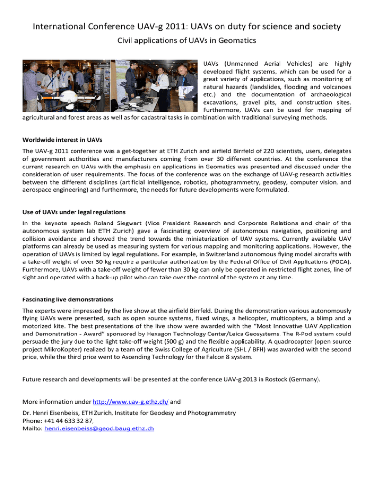
International Conference UAV-g 2011: UAVs on duty for science and society Civil applications of UAVs in Geomatics UAVs (Unmanned Aerial Vehicles) are highly developed flight systems, which can be used for a great variety of applications, such as monitoring of natural hazards (landslides, flooding and volcanoes etc.) and the documentation of archaeological excavations, gravel pits, and construction sites. Furthermore, UAVs can be used for mapping of agricultural and forest areas as well as for cadastral tasks in combination with traditional surveying methods. Worldwide interest in UAVs The UAV-g 2011 conference was a get-together at ETH Zurich and airfield Birrfeld of 220 scientists, users, delegates of government authorities and manufacturers coming from over 30 different countries. At the conference the current research on UAVs with the emphasis on applications in Geomatics was presented and discussed under the consideration of user requirements. The focus of the conference was on the exchange of UAV-g research activities between the different disciplines (artificial intelligence, robotics, photogrammetry, geodesy, computer vision, and aerospace engineering) and furthermore, the needs for future developments were formulated. Use of UAVs under legal regulations In the keynote speech Roland Siegwart (Vice President Research and Corporate Relations and chair of the autonomous system lab ETH Zurich) gave a fascinating overview of autonomous navigation, positioning and collision avoidance and showed the trend towards the miniaturization of UAV systems. Currently available UAV platforms can already be used as measuring system for various mapping and monitoring applications. However, the operation of UAVs is limited by legal regulations. For example, in Switzerland autonomous flying model aircrafts with a take-off weight of over 30 kg require a particular authorization by the Federal Office of Civil Applications (FOCA). Furthermore, UAVs with a take-off weight of fewer than 30 kg can only be operated in restricted flight zones, line of sight and operated with a back-up pilot who can take over the control of the system at any time. Fascinating live demonstrations The experts were impressed by the live show at the airfield Birrfeld. During the demonstration various autonomously flying UAVs were presented, such as open source systems, fixed wings, a helicopter, multicopters, a blimp and a motorized kite. The best presentations of the live show were awarded with the “Most Innovative UAV Application and Demonstration - Award” sponsored by Hexagon Technology Center/Leica Geosystems. The R-Pod system could persuade the jury due to the light take-off weight (500 g) and the flexible applicability. A quadrocopter (open source project MikroKopter) realized by a team of the Swiss College of Agriculture (SHL / BFH) was awarded with the second price, while the third price went to Ascending Technology for the Falcon 8 system. Future research and developments will be presented at the conference UAV-g 2013 in Rostock (Germany). More information under http://www.uav-g.ethz.ch/ and Dr. Henri Eisenbeiss, ETH Zurich, Institute for Geodesy and Photogrammetry Phone: +41 44 633 32 87, Mailto: henri.eisenbeiss@geod.baug.ethz.ch

