Moisture, Clouds, and Weather
advertisement
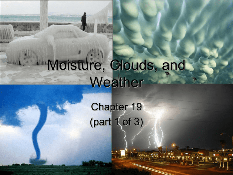
Moisture, Clouds, and Weather Chapter 19 (part 1 of 3) From Water to Water Vapor The warmer the air, the more water vapor it can hold • Absolute – Mass of water in a given volume (g/m3) – Air at 25ºC = 23 g/m3 – Air at 12ºC = 11.5 g/m3 • Relative actual quantity of H2O (%) = per unit of air x 100% maximum quantity at the same temperature Humidity Relative Humidity (RH) • Saturation – 100% RH • Dew Point – If you are at 100% RH, and you cool it below, water vapor becomes liquid – Water condenses on soil, grass, airborne particles • Supersaturation and supercooling – Needs a nucleation site How Does Air Reach the Dew Point? Radiation Cooling • Heat lost by giving off energy (infrared / thermal) • Can be from atmosphere, land, or water Contact Cooling • Warm, moist air cools against cold material – Dew – Frost • If dew point is below freezing • Formed directly from vapor Cooling of Rising Air • Adiabatic temperature changes – Changes in T due to expansion or compression – Air cools between 10°C/1,000 m when dry and 5°C/1,000 m when wet • Adiabatic lapse rate • Why are they different? – Latent heat as gas becomes water Rising Air and Precipitation Pacific Ocean Sierra Nevadas/ Panamint Range Orographic Lifting Death Valley Rising Air and Precipitation Frontal Wedging Convection-Convergence (unequal heating) What Controls Cloud Formation? • Normal Lapse Rate (6°C/1,000 m) – Air cools with elevation in troposphere – Varies with altitude, latitude, time of day, seasons • Dry air mass • “Wet” air mass – Latent heat keeps it “warm,” rises very high Cirrus Clouds • “Wisp of hair” – High (6,000-15,000 m) – Made of ice crystals – Thin due to dry air Stratus • “Layer” – Horizontal, sheet-like – Typical of… a cloudy day – Occur when condensation stops rising and spreads out • Nimbostratus if accompanied by rain or snow Cumulus • “Heap” or “pile” – Think of it like an accumulation of clouds – Fluffy: display flat bottoms and billowy tops – Base of cloud at level of dew point in air Cumulonimbus • Cumulus clouds which produce precipitation – Top sheared by winds, spreads at tropopause Precipitation and Cloud Formation The Formation of Rain • Droplets in a cloud are small (0.01 mm) • Coalescence of droplets – In clouds above freezing – 1 million to one “drop” • Ice is less dense than water – As air cools toward the dew point, water vapor may spontaneously form ice… not water – Ice then falls, remelts and makes rain Surface Tension • Water wants to be a sphere! Snow, Sleet… and Glaze? • If cloud is composed of ice and air near ground is cold… Glaze Hail • Hail—only occurs in thunderstorms—created by up/down drafts • Most frequent in late spring-early summer – Extreme T differences from surface to jet stream – Air forced upward over mountains Largest hailstone ever recorded: Diameter: 7.0 in (17.8 cm) Circumference: 18.75 in (47.6 cm) Weight: 756 g (1.5 lbs.) Pressure and Wind • Warm air rises (~1 km/day), creates low pressure • Cold air sinks • Wind is caused by pressure differences Pressure Gradient • Change in pressure difference with distance Large pressure difference • Wind speed determined by pressure difference • Earth is unequally heated, pressure changes widely What Causes All the Variation • Solar heating from the Sun – Ex: Creates deserts at 30° N and S • Seasonal tilt of Earth • Continental character (e.g., mountains) • Ocean currents (temperature) Cyclones and Anticyclones • Remember the Coriolis Effect Air Masses and Fronts • Air mass: large body of air with ~uniform T and humidity at any given latitude – Ex: Atlantic O. above Gulf Stream circulation • Air masses collide along a front Warm front • Air moves up slowly, light precipitation Cold front • Air moves up rapidly, lots of precipitation Occluded Fronts • Two cold air masses trap a warm air mass – Storm is short-lived; fast-moving cold air cuts off moisture supply Stationary Front • If neither air mass is strong enough to replace the other, the system stalls Formation of a Cyclone • Eventually (1-3 days), air rushing in to P zone equalizes pressure, storm dissipates Thunderstorms Thunderstorms • A weather phenomenon characterized by the presence of lighting (and thunder) – also--Heavy rain, high winds, hail, and-possiblytornadoes • Common in areas of moist air – Equatorial regions – SE US • Can occur as – Single-cell or multi-cell – Squall line – Supercell—most dangerous Thunderstorm development • Need: moisture, unstable air, lifting • Tend to follow three stages of development… Lightning Strikes – 1st, downward passage of negative charge – 2nd, bright return stroke (of light, not electrons)… like this • Heats air to 50,000ºF (28,000ºC) – Massive expansion of air at supersonic speed • Air moves at diff speed than sound it makes – Speed of light ~ 3 x 10⁸ m/s, sound = 344 m/s • Divide # of seconds between flash and thunder by 5 • Safety: 30 s time difference = take cover Do’s and Don’ts! • If inside – Don’t touch anything plugged in, or corded phones – Do not take a bath/shower or wash dishes • If outside – Seek shelter in a “safe” house (one with plumbing and wiring) • Avoid “unsafe” structures like patios, tarps, picnic pavilions, etc.. – Stay away from tall trees – Crouch on the balls of your feet – Shut off your car and touch nothing metal Lightning Myths • Myth • Truth – Jewelry and metal belt buckles attract lightning – If outside, lay flat on the ground to decrease your height – Lightning never strikes the same place twice Lightning safety – Being isolated, tall and exposed make you more prone to being struck – Lying flat makes you more prone to ground current—lightning crouch – Lightning often strikes the same place repeatedly, especially if the object is tall • Ex. Empire State Building Tornados What is a Tornado? • Violently rotating, funnel-shaped cloud – Often associated with extremely violent thunderstorms--supercells Tornado Facts • Tornados can occur almost anywhere in the world – Occur most frequently in US (tornado alley) • • • • Duration: a few minutes (can last several hours) Diameter (Avg.): 150’(can be >1/2 mile wide) Length of path (Avg.): 4 miles (can be >200 miles) Funnel can travel from 0 mph up to ~70 mph, usually travels at 30 mph • Winds 65->210 mph When Tornados Occur A typical late afternoon tornado Tornado Development—the supercell • A supercell—a thunderstorm containing a mesocyclone—a large, spinning updraft – Caused by motion of surface wind and wind aloft-vorticity The Supercell Direction of storm motion Tornado Formation • Mesocyclone changes position • Development of rear flank downdraft— gust front – Tornado develops at occlusion point between RFDD and FFDD Tornado Life Cycle A. B. C. D. E. Dust whirl Organizing Mature Shrinking Decaying or “rope” stage Note: The time it takes to go from one stage to the next can vary considerably…not every tornado goes through all the stages A C Tornado Indicators • A greenish colored sky (cause by light scattering--hail) • Mammatus clouds • A sudden drop in barometric pressure • Large hail of at least .75 in. diameter • Strong winds > 60 mph • Frequent and intense lightning • A rotating wall cloud or a cloud that appears to hang from the sky • A loud rumbling noise- seek shelter! Mammatus clouds Green sky Early Warning Systems • Tornado watch – Tornado development is possible; take shelter and remain alert • Tornado warning – Radar indication or direct observation of a Tornado on the ground Tornado Safety • If inside • Small, interior, windowless room on lowest level of building • Basement or storm shelter • Bathtubs and pillows—know what is above you • If outside – Seek shelter indoors – If no shelter available, find low spot and cover head – NEVER take shelter in a car
