document
advertisement
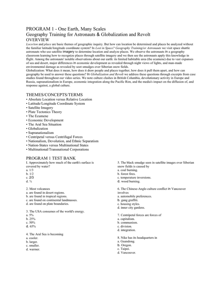
PROGRAM 1 - One Earth, Many Scales Geography Training for Astronauts & Globalization and Revolt OVERVIEW Loco/ion and place are basic themes of geographic inquiry. But how can location be determined and places be analyzed without the familiar latitude/longitude coordinate system? In Lost in Space? Geography Training/or Astronauts we visit space shuttle astronauts who use satellite imagery to determine location and analyze places. We observe the astronauts in a geography classroom learning how to recognize places through satellite imagery and we then see the astronauts apply this knowledge in flight. Among the astronauts' notable observations about our earth: its limited habitable area (the ecumene) due to vast expanses of sea and desert, major differences in economic development as revealed through night views of lights, and man-made environmental damage as revealed by soot smudges over Siberian snow fields. Globalization: What does it mean, how does it draw people and places together, how does it pull them apart, and how can geography be used to answer these questions? In Globalization and Revolt we address these questions through excerpts from case studies found throughout our video series. We note culture clashes in British Columbia, devolutionary activity in Europe and Russia, supranationalism in Europe, economic integration along the Pacific Rim, and the media's impact on the diffusion of, and response against, a global culture. THEMES/CONCEPTS/TERMS • Absolute Location versus Relative Location • Latitude/Longitude Coordinate System • Satellite Imagery • Plate Tectonics Theory • The Ecumene • Economic Development • The Aral Sea Situation • Globalization • Supranationalism • Centripetal versus Centrifugal Forces • Nationalism, Devolution, and Ethnic Separatism • Nation-States versus Multinational States • Multinational/Transnational Corporations PROGRAM 1 TEST BANK I. Approximately how much of the earth's surface is covered by water? a. 1/3 b. 1/2 c. 2/3 d. ¾ 5. The black smudge seen in satellite images over Siberian snow fields is caused by a. coal burning. b. forest fires. c. temperature inversions. d. wood burning. 2. Most volcanoes a. are found in desert regions. b. are found in tropical regions. c. are found on continental landmasses. d. are found on plate boundaries. 6. The Chinese-Anglo culture conflict in Vancouver involves a. automobile preferences. b. gang graffiti. c. housing styles. d. inner city gardens. 3. The USA consumes of the world's energy. a. 5% b. 25% c. 50% d. 65% 4. The Aral Sea is becoming a. cooler. b. larger. c. smaller. d. warmer. 7. Centripetal forces are forces of a. capitalism. b. communism. c. division. d. integration. 8. Nike has its headquarters in a. Guandong. b. Oregon. c. Taipei. d. Vancouver. 9. What is the lingua franca of the global economy? a. English b. French c. Mandarin d. both a and c 10. The resistance to globalization in Quebec is based on a. capitalism. b. language. c. religion. d. socialism. 11. Iceland is located on the boundary of what two tectonic plates? 12. How can night satellite imagery be used to determine differences in levels of economic development? 13. Why is the Aral Sea shrinking? 14. What does the term "globalization" mean? 15. What is the difference between centripetal and centrifugal forces? 16. The earth's habitable area is sometimes called its ecumene. Discuss the factors that determine the ecumene's location. 17. Compare and contrast Europe's major supranational organizations: NATO and the European Union. (i.e., Discuss how they are similar and how they are different.)
