Introduction to Maps
advertisement

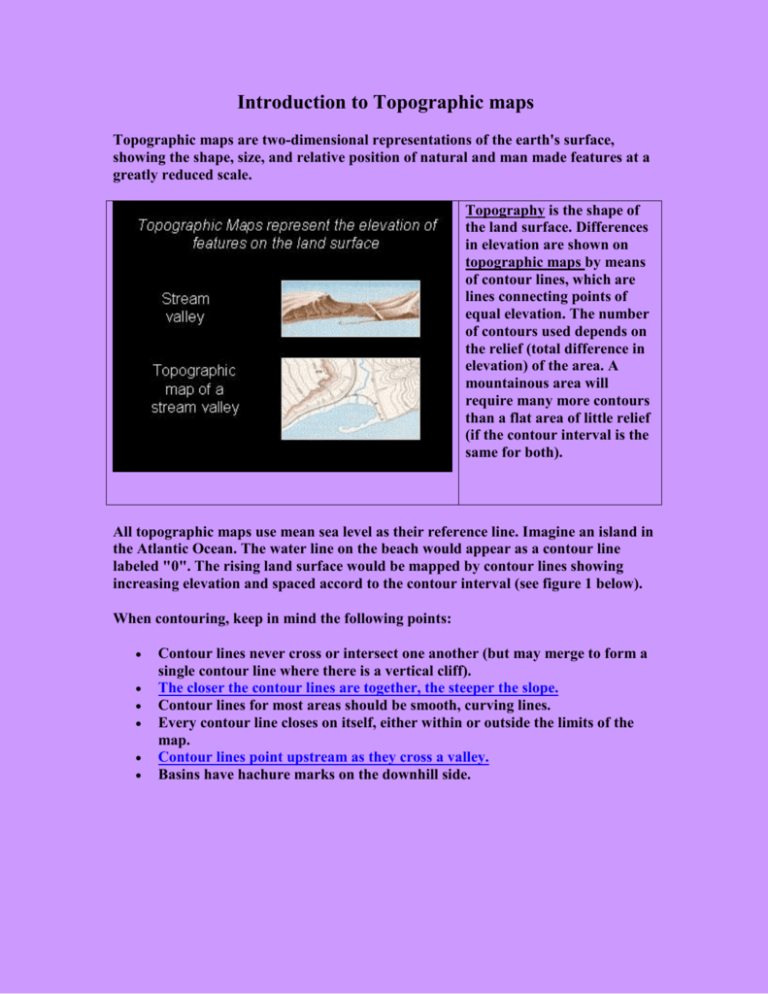
Introduction to Topographic maps Topographic maps are two-dimensional representations of the earth's surface, showing the shape, size, and relative position of natural and man made features at a greatly reduced scale. Topography is the shape of the land surface. Differences in elevation are shown on topographic maps by means of contour lines, which are lines connecting points of equal elevation. The number of contours used depends on the relief (total difference in elevation) of the area. A mountainous area will require many more contours than a flat area of little relief (if the contour interval is the same for both). All topographic maps use mean sea level as their reference line. Imagine an island in the Atlantic Ocean. The water line on the beach would appear as a contour line labeled "0". The rising land surface would be mapped by contour lines showing increasing elevation and spaced accord to the contour interval (see figure 1 below). When contouring, keep in mind the following points: Contour lines never cross or intersect one another (but may merge to form a single contour line where there is a vertical cliff). The closer the contour lines are together, the steeper the slope. Contour lines for most areas should be smooth, curving lines. Every contour line closes on itself, either within or outside the limits of the map. Contour lines point upstream as they cross a valley. Basins have hachure marks on the downhill side. All standard topographic maps should have an orientation arrow (north), a legend, a scale, and a method locating things geographically. A very common method of geographic location is the latitude-longitude method. The earth is nearly a sphere and therefore may be considered to be divisible into 360 degrees. By measuring latitude and longitude in degree, minutes (1/60th of a degree), and seconds (1/60th of a minute), it is possible to pin-point any spot on the earth's surface. Any point on earth can be accurately defined in terms of a) its distance from the Prime Meridian which extends N-S through Greenwich, England and the poles, and b) its distance north or south of the equator. Lines connecting the poles are knows as longitude lines or meridians; however, these lines are not parallel as they converge at the poles. Lines parallel to the equator are know as parallels of latitude. Topographic Profiles Profiles or cross-sections are constructed across a contour map to provide a threedimensional view of the topography. The profile is actually a silhouette of the hills and valleys as seen against the sky. Topographic profiles are easily made using graph paper and the method depicted in this linked figure. Note that profiles need to have both a horizontal scale and a vertical scale.


