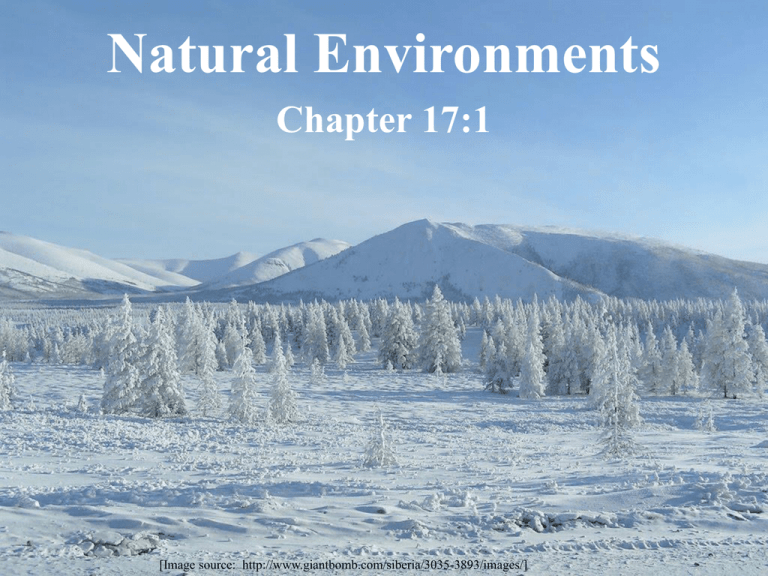
Natural Environments
advertisement

Natural Environments Chapter 17:1 [Image source: http://www.giantbomb.com/siberia/3035-3893/images/] [Map source: http://westshore.hs.brevard.k12.fl.us/teachers/sarverr/world_cultures_maps.htm] [Map source: http://westshore.hs.brevard.k12.fl.us/teachers/sarverr/world_cultures_maps.htm] [Image source: http://www.lib.utexas.edu/maps/commonwealth/ussr_terrain_1974.jpg] Physiographic Diagram of Northern Eurasia [Map source: World Regional Geography by Heintzelman and Highsmith, 395] Russia’s northern location influences how land can be used. [Image source: http://www.lib.utexas.edu/maps/commonwealth/soviet_land_82.jpg] The Caucasus Mountains Region (aka the Near-Abroad) [Map source: The Great Game by Peter Hopkirk, page xxi] The Far East Region (aka Primorsky Krai, or the Maritime Territory) [Map source: The Great Game by Peter Hopkirk, page xxiv] Tundra (Sami word tūndâr "uplands", "treeless mountain tract“) is a type of biome where the tree growth is hindered by low temperatures and short growing seasons. The ecotone (or ecological boundary region) between the tundra and the forest is known as the tree line or timberline. [Image source: https://en.wikipedia.org/wiki/File:Biome_map_11.svg] Arctic tundra vegetation is composed of dwarf shrubs, sedges and grasses, mosses, and lichens. [Image source: https://upload.wikimedia.org/wikipedia/commons/8/87/Tundra_in_Siberia.jpg] The Taiga, aka boreal forest, is the world's largest terrestrial biome, comprising 29% of the world’s trees. [Image source: https://en.wikipedia.org/wiki/File:Distribution_Taiga.png] The taiga is a biome characterized by coniferous forests consisting mostly of pines, spruces and larches. [Image source: https://en.wikipedia.org/wiki/File:Jack_London_Lake_by_bartosh.jpg] [Image source: http://media-2.web.britannica.com/eb-media/45/4445-004-5806C32A.jpg] [Image source: http://blog.oup.com/2013/04/environmental-history-russia-steppes/] The Ural Mountains unevenly divides Russia into two parts: [Map source: http://westshore.hs.brevard.k12.fl.us/teachers/sarverr/world_cultures_maps.htm] Dniepir River Don River [Image source: https://en.wikipedia.org/wiki/Don_River_(Russia)#/media/File:Donrivermap.png] Volga River • longest river in Europe • Europe's largest river in terms of discharge and watershed • flows through central Russia and into the Caspian Sea • viewed as the national river of Russia • eleven of the twenty largest cities of Russia, including the capital, Moscow, are in the Volga's watershed (drainage basin) • often referred to as Volga-Matushka (Mother Volga) in Russian literature and folklore [Image source: https://en.wikipedia.org/wiki/Volga_River] o the combined Ob-Irtysh system, the fourth-longest river system of Asia o Ob river basin consists mostly of steppe, taiga, swamps, tundra, and semidesert topography o floodplains of the Ob are characterized by many tributaries and lakes o is ice-bound at southern part from early in November to near the end of April; northern Salekhard, 100 miles (160 km) above its mouth, from the end of October to the beginning of June Ob River [Image source: https://en.wikipedia.org/wiki/Ob_River#/media/File:Ob_watershed.png] o the largest river system flowing to the Arctic Ocean o central of the three great Siberian rivers that flow into the Arctic Ocean o drains a large part of central Siberia Yenisei River [Image source: https://en.wikipedia.org/wiki/Yenisei_River#/media/File:Yeniseirivermap.png] o easternmost of the three great Siberian rivers o flows into the Arctic Ocean o 11th longest river in the world o 9th largest watershed in the world o 3rd largest river in Asia o the largest of the rivers whose watershed is entirely within the Russian territorial boundaries Lena River [Image source: https://en.wikipedia.org/wiki/Lena_River#/media/File:Lena_watershed.png]


