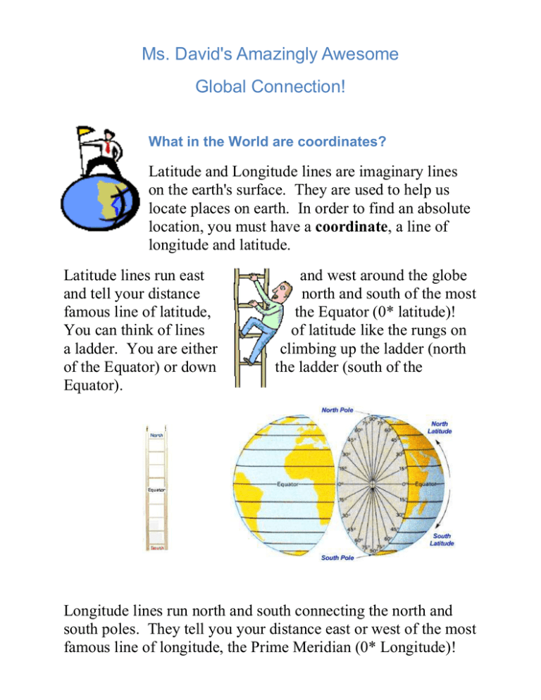
What in the World are coordinates?
advertisement

Ms. David's Amazingly Awesome
Global Connection!
What in the World are coordinates?
Latitude and Longitude lines are imaginary lines
on the earth's surface. They are used to help us
locate places on earth. In order to find an absolute
location, you must have a coordinate, a line of
longitude and latitude.
Latitude lines run east
and tell your distance
famous line of latitude,
You can think of lines
a ladder. You are either
of the Equator) or down
Equator).
and west around the globe
north and south of the most
the Equator (0* latitude)!
of latitude like the rungs on
climbing up the ladder (north
the ladder (south of the
Longitude lines run north and south connecting the north and
south poles. They tell you your distance east or west of the most
famous line of longitude, the Prime Meridian (0* Longitude)!
You can think of longitude like long telephone poles! There are
long telephone poles on either side, east or west, of the prime
pole.
When, Where, and Why?
When did all this longitude and latitude stuff start? Well, back
in 1884 President Chester Arthur called a meeting of 25 nations
in Washington. D.C. The meeting was called the International
Meridian Conference. It was agreed upon that the world needed
one universal way of measuring where we are on the earth's
surface.
Great Britain, an island nation, had emerged as a
sea-faring nation when the world was being explored
during the 1600s-1700s. The British were the first
(Well, really the Phoenicians and the Greeks) to
decide on a method of determining where you are on the earth.
Star navigation charts were created in Greenwich, England
where the royal observatory was located. Since the star
navigation charts were created in Greenwich, it seemed logical
to place the zero longitude mark from there. Later, at the
International Meridian Conference in Washington, D.C., it was
agreed upon to use the zero longitude mark that was already
established and name it the Prime Meridian. They named it the
Prime Meridian because a meridian is a line that goes in the
center of something. Prime means that something is always
going to be there; hence Prime Meridian.
We need to be able to locate coordinates in order to find
absolute locations. Coordinates are used to locate sinking ships,
to track weather patterns such as hurricanes, to aim military
missles, or license radio towers for communications purposes.
There is a wide variety of uses for plotting longitude and
latitude.
How do you find a coordinate?
So how do you use this information? Well, it's really very
simple (O.K. maybe not "really", but...).
Typically, the latitude of a place is written first and then the
longitude (50 degrees south, 80 degrees east). Therefore, there
is no need to state the terms longitude or latitude. However, you
must give the direction as there are two of each. You can not say
90 degrees latitude because there is a 90 degrees north and a 90
degrees south.
To find a latitude line you simply start at the Equator (0 degrees
latitude), decide which direction you are to move (north or
south), and decide the distance in degrees. Ex. 70 degrees north
or 70 degrees south
To find a longitude line you basically do the same thing, except
you will start at the Prime Meridian (0 degrees longitude),
determine which direction you are to move (east or west), and
decide the distance in degrees. Ex. 70 degrees east or 70
degrees west.
Remember, the Equator and the Prime Meridian are not written
with a direction. Therefore, if you have a location on either,
they would just be written as 0 degrees.
To make this more complicated, one degree can be divided into
60 minutes (') and one minute can be divided into 60
seconds (") - just like our clocks! We won't take it
that far, but you should know how to write and locate
coordinates using degrees and minutes.
Just like on a clock, there are 60 minutes within one degree.
Therefore, if a coordinate reads 70* 45' N, it is reading 70
degrees 45 minutes north. As with reading a clock, 45 minutes
is closer to the next hour (in this case next degree) and therefore,
your location will be closer to the next degree of latitude - 71
degrees. Another example would be 50* 20' W, which reads 50
degrees 20 minutes west. Therefore your location will be closer
to the 50 degree longitude line. Now I am not saying that you
should round up or down to the next degree. I am just saying,
your location will be closer to it.
All maps are the same and different (that was crystal clear!). Be
sure to look at the intervals of degrees. Meaning, that not all
maps are drawn with the same degree intervals. Some are 20
degree intervals, some are 40 degree intervals. Some, like ones
in our textbook are 2 degree intervals.
I think you are ready for some practice. Click on the site below
the globe to find some great geography games!
Games for Practice:
Visit the sites below and practice your map skills.
http://www.kidsgeo.com/geography-games/latitude-longitude-map-game.php
http://cuip.uchicago.edu/www4teach/97/jlyman/default/quiz/geogtest1.html
http://www.purposegames.com/game/longitude-and-latitude-quiz
http://www.quia.com/jg/1709487.html
Once you have played some of the games above, click on the link below. This link will
take you to some other activities and a quiz to test your knowledge. Don't worry, the
quiz will not count, it is just another way to study!
http://www.quia.com/quiz/2546628.html


