Mapping Throughout History As we've learned firsthand, one
advertisement

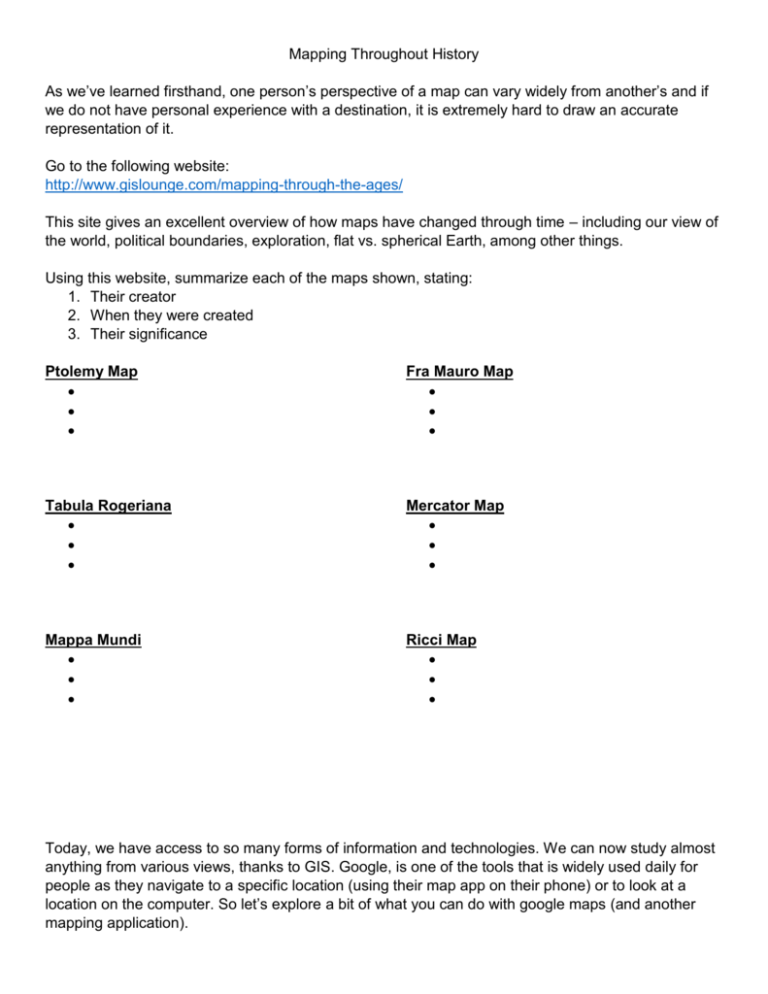
Mapping Throughout History As we’ve learned firsthand, one person’s perspective of a map can vary widely from another’s and if we do not have personal experience with a destination, it is extremely hard to draw an accurate representation of it. Go to the following website: http://www.gislounge.com/mapping-through-the-ages/ This site gives an excellent overview of how maps have changed through time – including our view of the world, political boundaries, exploration, flat vs. spherical Earth, among other things. Using this website, summarize each of the maps shown, stating: 1. Their creator 2. When they were created 3. Their significance Ptolemy Map Fra Mauro Map Tabula Rogeriana Mercator Map Mappa Mundi Ricci Map Today, we have access to so many forms of information and technologies. We can now study almost anything from various views, thanks to GIS. Google, is one of the tools that is widely used daily for people as they navigate to a specific location (using their map app on their phone) or to look at a location on the computer. So let’s explore a bit of what you can do with google maps (and another mapping application). Go to: www.google.ca/maps Use the + and – buttons in the bottom right hand corner to zoom in/out on the map. Another way to move your map is to click and hold your mouse anywhere on the map, and then move your mouse (map) to the desired location. Try this. Our Area: Find Brantford Click on the city name “Brantford”. What happens? Note the “Getting Around” area in the top left box hat appears. Click on “menu” Click on “traffic” In “live” traffic, where do you see construction right now (zoom if you need to)? Return to the traffic box at the bottom, and switch to “typical traffic” by clicking on the drop down menu For a Thursday at 4:00 pm, what are 2 areas that you would want to avoid if driving? Play with the “bicycling” and “terrain” link and notice what happens on the map. Go back to the map, and find NPC Click on the label for NPC on the map What is the full address of the school? Move the small yellow man at the bottom right of the screen to the front of the school. What kind of car is close to the student parking entrance? Go to the “Earth” image Looking at the school, what is located to the west behind the school? What direction does the school face? Click on the red marker for North Park so that you get a pop up screen to the left. You will see “directions”. Click on “directions”. In the left sidebar, type in your home address, then click “Get Directions”. Which map view is best for viewing this route? Explain your answer. Measuring a Route Go to: www.gmap-pedometer.com/ This site is similar to google but allows you to measure distances of routes. Jump to (at the top), “Brantford Ontario Canada” Zoom in on your map until you can see the Gretzky Centre. On the left of the screen you will see an instructions text box. Click on the top button to “Start Recording”. Select “metric” and “manual (straight lines)” options On your map double click the spot where the Sports Center meet North Park Street. What happens? Move your mouse to the corner of North Park Street and Fairview Drive and double click again. Move to the southwest along Fairview Drive, and then double click and Fairview and Willow. Move your cursor back to the start point and double click again. You should now have a triangle shaped route outlining your route Look in the left sidebar again. How many km’s long is your route? Turn on the “calorie counter”. Type in your weight in kg (pounds divided by 2.2). How many calories would you have burned (approximately) if you walked this route? Who would find this map useful? Explain why? To prepare for the lessons in the next bit, please create yourself a google account. You do NOT need to get a new email address for this. You may use your current email address.


