05B Using GIS and GPS Technologies WS
advertisement
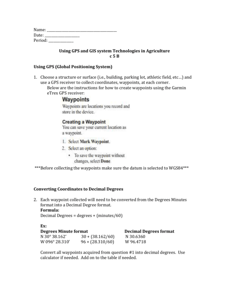
Name: __________________________________________ Date: _____________________ Period: _______________ Using GPS and GIS system Technologies in Agriculture c5B Using GPS (Global Positioning System) 1. Choose a structure or surface (i.e., building, parking lot, athletic field, etc…) and use a GPS receiver to collect coordinates, waypoints, at each corner. Below are the instructions for how to create waypoints using the Garmin eTrex GPS receiver: ***Before collecting the waypoints make sure the datum is selected to WGS84*** Converting Coordinates to Decimal Degrees 2. Each waypoint collected will need to be converted from the Degrees Minutes format into a Decimal Degree format. Formula: Decimal Degrees = degrees + (minutes/60) Ex: Degrees Minute format N 30° 38.162’ 30 + (38.162/60) W 096° 28.310’ 96 + (28.310/60) Decimal Degrees format N 30.6360 W 96.4718 Convert all waypoints acquired from question #1 into decimal degrees. Use calculator if needed. Add on to the table if needed. Degrees Minute Format Decimal Degrees Format Waypoint 1 (N) Waypoint 1 (W) Waypoint 2 (N) Waypoint 2 (W) Waypoint 3 (N) Waypoint 3 (W) Waypoint 4 (N) Waypoint 4 (W) Waypoint 5 (N) Waypoint 5 (W) Applying GIS Functionality 3. You are going to use a simple GIS system to map your points that you collected and check them for accuracy. That system is Google Maps. a. Navigate to Google Maps: http://www.google.com/maps b. Login/SignIn using a gmail account (check with your instructor and see if they have set up a class account, if not use your own) c. Select My Maps and choose Create a New Map. d. In the Table of Contents, click on the drop down arrow next to Base map and choose satellite. e. In the search box enter the latitude and longitude for each waypoint. (Remember to enter it in as decimal degrees. See conversion table from Step 2.) f. When Google pins your location, click on the pin and choose Add to map. g. When you have entered and saved all the points onto the map, evaluate the points for accuracy using the measuring tool. Evaluate 4. Use the measure tool to evaluate each point for accuracy using the satellite image for reference. How close was each point you collected and mapped to matching up with the exact location on the satellite image? Explain what could have been some sources of error introduced during your data collection, conversion method, and/or mapping session. _________________________________________________________________________________________________ _________________________________________________________________________________________________ _________________________________________________________________________________________________ _________________________________________________________________________________________________ _________________________________________________________________________________________________ _________________________________________________________________________________________________ _________________________________________________________________________________________________ _________________________________________________________________________________________________ _________________________________________________________________________________________________ _________________________________________________________________________________________________ _________________________________________________________________________________________________ _________________________________________________________________________________________________ _________________________________________________________________________________________________ _________________________________________________________________________________________________ _________________________________________________________________________________________________ _________________________________________________________________________________________________ _________________________________________________________________________________________________ Name: ________________________________________________ Date: _________________________ Period: ________________ GIS and GPS in Agriculture (Student Note Sheet) Answer the following questions using the powerpoint. 1. GPS stands for __________________________ ________________________ _______________________. 2. What organization developed GPS? 3. How many satellites are in the network? 4. What is the calculation used to identify a geographic location called? 5. How many satellites are needed to effectively identify a location? 6. List 5 errors that could potentially influence accuracy when using GPS? 7. GIS stands for ___________________________ _________________________ _______________________. 8. List the 5 components of GIS. 9. What is a layer? 10. List 3 ways GIS can be implemented in agricultural structures. Name: ________________________________________________ Date: _________________________ Period: ________________ KEY GIS and GPS in Agriculture (Student Note Sheet) KEY c 5 B Answer the following questions using the powerpoint. 1. GPS stands for ____Global____ ________Positioning_________ ___Systems_______. 2. What organization developed GPS? U.S. Department of Defense 3. How many satellites are in the network? 24 4. What is the calculation used to identify a geographic location called? Triangulation 5. How many satellites are needed to effectively identify a location? 4 6. List 5 errors that could potentially influence accuracy when using GPS? timing receiver atmospheric orbital surroundings 7. GIS stands for __Geographic______ _Information____ ___Systems________. 8. List the 5 components of GIS. hardware software data people procedures 9. What is a layer? Digital representation of a geographic feature 10. List 3 ways GIS can be implemented in agricultural structures. site location drainage areas land use patterns *accept any other responses dealing with agriculture and GIS analysis


