LATITUDE AND LONGITUDE questions to answer
advertisement

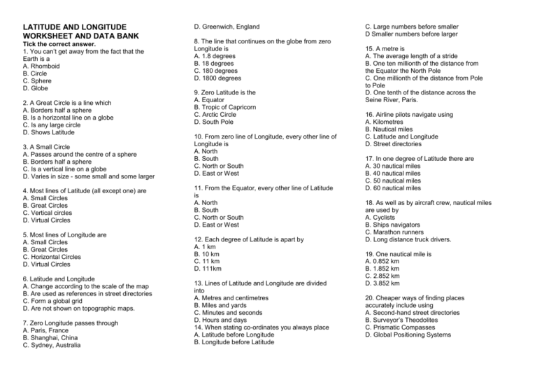
LATITUDE AND LONGITUDE WORKSHEET AND DATA BANK Tick the correct answer. 1. You can’t get away from the fact that the Earth is a A. Rhomboid B. Circle C. Sphere D. Globe 2. A Great Circle is a line which A. Borders half a sphere B. Is a horizontal line on a globe C. Is any large circle D. Shows Latitude 3. A Small Circle A. Passes around the centre of a sphere B. Borders half a sphere C. Is a vertical line on a globe D. Varies in size - some small and some larger 4. Most lines of Latitude (all except one) are A. Small Circles B. Great Circles C. Vertical circles D. Virtual Circles 5. Most lines of Longitude are A. Small Circles B. Great Circles C. Horizontal Circles D. Virtual Circles 6. Latitude and Longitude A. Change according to the scale of the map B. Are used as references in street directories C. Form a global grid D. Are not shown on topographic maps. 7. Zero Longitude passes through A. Paris, France B. Shanghai, China C. Sydney, Australia D. Greenwich, England 8. The line that continues on the globe from zero Longitude is A. 1.8 degrees B. 18 degrees C. 180 degrees D. 1800 degrees 9. Zero Latitude is the A. Equator B. Tropic of Capricorn C. Arctic Circle D. South Pole 10. From zero line of Longitude, every other line of Longitude is A. North B. South C. North or South D. East or West 11. From the Equator, every other line of Latitude is A. North B. South C. North or South D. East or West 12. Each degree of Latitude is apart by A. 1 km B. 10 km C. 11 km D. 111km 13. Lines of Latitude and Longitude are divided into A. Metres and centimetres B. Miles and yards C. Minutes and seconds D. Hours and days 14. When stating co-ordinates you always place A. Latitude before Longitude B. Longitude before Latitude C. Large numbers before smaller D Smaller numbers before larger 15. A metre is A. The average length of a stride B. One ten millionth of the distance from the Equator the North Pole C. One millionth of the distance from Pole to Pole D. One tenth of the distance across the Seine River, Paris. 16. Airline pilots navigate using A. Kilometres B. Nautical miles C. Latitude and Longitude D. Street directories 17. In one degree of Latitude there are A. 30 nautical miles B. 40 nautical miles C. 50 nautical miles D. 60 nautical miles 18. As well as by aircraft crew, nautical miles are used by A. Cyclists B. Ships navigators C. Marathon runners D. Long distance truck drivers. 19. One nautical mile is A. 0.852 km B. 1.852 km C. 2.852 km D. 3.852 km 20. Cheaper ways of finding places accurately include using A. Second-hand street directories B. Surveyor’s Theodolites C. Prismatic Compasses D. Global Positioning Systems AFTER THE VIEWING. STUDENT ACTIVITIES 1. Types of maps. In a group of four, in TWO MINUTES only, write down as many different types of maps your group can think of. Did you find more that the other groups? 2. Research. Use an atlas or globe to state what you find at: A. 0 degrees Latitude and 0 degrees Longitude. B. 45 degrees North Latitude and 45 degrees West Longitude. Answers. A. Gulf of Guinea. B. (This is one of the “corners” of the world at 45 degrees and 45 degrees). Central Wisconsin, USA. 3. Atlas. Where in an atlas would you find listed the Latitude and Longitude of places? Answers (Technically the Gazetteer - commonly now the Index) 4. Globe. Using a tape or flexible ruler, measure on a globe the distance of Panama (Pacific Coast) from Auckland. Now measure this on an Atlas map of the Pacific Ocean and compare the Great Circle distance on the globe with the straight line distance on the map. 5. Question. Why do airline pilots and ship navigators use nautical miles and not kilometres? 6. Data Bank. Use your data bank sheet to write a brief statement about Latitude and Longitude, noting A. What each is, B. how they are drawn on maps and globes and C. why they are useful concepts. 7. Computer. Use the internet to find out about the GPS (Global Positioning System). See if you can find out A. How GPS works B. Where it is used. C. How it is useful for bush


