CDS_QuyNhon_SpatialAnalysis_PPT_2015
advertisement

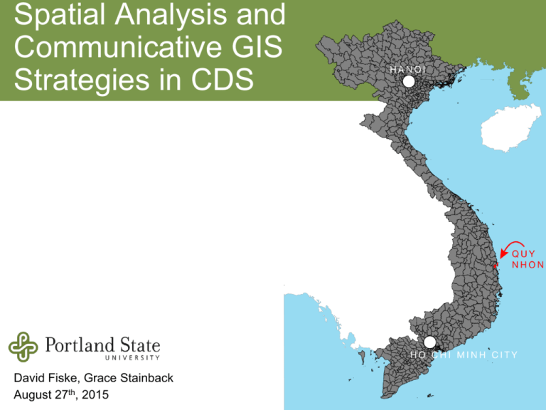
Spatial Analysis and Communicative GIS Strategies in CDS David Fiske, Grace Stainback August 27th, 2015 Regional, spatial planning in the Portland Metropolitan Area “…the livability produced by this…is an important element of the region’s economic strength. This is evidenced by the growth in the key demographic of 25–34 year olds, especially college educated. While this age group declined in the USA by 8% from 1990 to 2000, it grew by 12% in the Portland region (Cortright, 2006). This labour force and talent is contributing to the metropolitan area’s ability to compete in the global economy, but continued in-migration will depend on the ability of the region to continue to effectively serve its ‘brand’ as a clean, green, liveable place.” - Andrew Cotugno & Ethan Seltzer (2011) Towards a Metropolitan Consciousness in the Portland Oregon Metropolitan Area, International Planning Studies, 16:3, 289-304 Spatial Analysis Showing the relationship between planned development/investment and the surrounding setting. For example, is the development proposed close to environmentally sensitive areas, steep slopes, flood prone areas? GIS (Geographic Information System) is the standard analytical tool for performing spatial analysis Layered Land Use “Layered Land Use”: all land functions in social, economic and environmental ways. Spatial analysis requires the combination of multiple types of spatial data that perform several functions relevant to a CDS: ● identify patterns and changes over time for development and infrastructure ● make predictions for growth ● locate suitable development sites ● recognize environmental risks and constraints ● situate your region in a larger context Recognizing how a city functions locally, regionally and globally simultaneously is important for sustainable development planning. Source: A Spatial Growth Strategy for Quy Nhon, Binh Dinh, Vietnam: EcoUrban Regional Planning, Colombia University 2010 Workshop Land Suitability Certain areas of the city are more suitable for development than others By avoiding preserved areas and riskprone areas, the city can help ensure that development has a long-term focus with a limited impact on the natural environment. Regional planning requires working beyond the familiar political and administrative boundaries of ward, city, or province, and planning at the scale of natural systems. In order to minimize pressure on natural systems while achieving social and economic goals, it is important to perform a land suitability analysis prior to development. Land Suitability Environmental assessments should also capture the important relationships between cities and their surroundings. If cities do not take into consideration the impacts of urban production and consumption outside the city’s boundaries (impacts on forests, rivers, watersheds, biodiversity, coasts, climate change), they will seriously deplete the natural resources they depend on and hinder future development. The area covered by a CDS should also take into consideration natural resource boundaries, such as watersheds and coastal reef zones. Past Flooding 2002-2009 Source: A Spatial Growth Strategy for Quy Nhon, Binh Dinh, Vietnam: EcoUrban Regional Planning, Colombia University 2010 Workshop Land Suitability Source: A Spatial Growth Strategy for Quy Nhon, Binh Dinh, Vietnam: EcoUrban Regional Planning, Colombia University 2010 Workshop Land Suitability ● Dark = least suitable land ● Researchers utilized “layered land use” method to identify environmental preservation areas and risk-prone areas to identify buildable land. Some Factors: ● ● ● ● Land inside the floodplain Steep mountainsides Agricultural areas Proximity to protected habitat Source: A Spatial Growth Strategy for Quy Nhon, Binh Dinh, Vietnam: Eco-Urban Regional Planning, Colombia University 2010 Workshop Recent study analyzed the relationship between urbanization and other independent variables Some factors: Topography Slope of land Distance to roads Distance to rivers and coastline Land use types Source: Coastal urban climate resilience planning in Quy Nhon, Vietnam Asian Cities Climate Resilience, Working Paper, 2015 Source: Coastal urban climate resilience planning in Quy Nhon, Vietnam Asian Cities Climate Resilience, Working Paper, 2015 Regional Land Information System (RLIS) Metro’s Data Resource Center works with regional partners to collect and combine data into a seamless dataset for use in regional decision-making. More that 100 GIS data layers to serve as spatial data infrastructure for the Portland Metropolitan Area Much of the data is updated quarterly and some files, more often Community Mapping Humans have always had spatial awareness and used maps to understand their surroundings The average citizen can still be used as a powerful source of spatial information today Nippur, Babylonia, circa 1000 B.C. Earliest known area map drawn to scale Quy Nhon, Vietnam, present Community Mapping The community as a primary data source for map-making, spatial analysis, and problem-solving Public participation + existing, accurate spatial data = a powerful tool for localized analysis, planning and development Goals of PPGIS: Empowerment of marginalized populations Current, accurate neighborhood-level data Cooperative decision-making Can be performed digitally (using a Web site and Google Maps) or by hand and digitized later (using posters at events or in community locations) SuprMap: PPGIS application using Google Maps and a public survey to create data for analysis, and files that can be imported into ArcGIS Prioritize Portland (2015): PPGIS survey to aggregate data about Portland residents’ transportation habits and concerns Applications: Roadway infrastructure decisions, citywide transportation policy Division Street Perceptions (2015): PPGIS survey studying a quickly urbanizing area in Portland, to learn about public use patterns and what kind of businesses would succeed in the neighborhood Applications: Business plans, local economic development data, building codes Community Mapping Large maps and drawings can be more effective than digital mediums at events or meetings, or when the technology is not available. Participant drawings can be digitized later and used for in-depth analysis, or interpreted on their own to illustrate themes and community ideas. PPGIS methods provide more opportunities for a CDS to meet community engagement goals, and also collects valuable data for decision-making and program implementation. LAYERS: Slope of the land Erosion patterns Groundwater pollution levels Sprawl into natural areas Planned roadway LAYERS: Habitat/biodiversity change Climate change patterns Flooding events Water pollution levels Infrastructure gaps PPGIS for Quy Nhon: http://cds-quy-nhon.suprmap.org Community Mapping Exercise Environmental Issues OR Parks and Open Space Social AND Cultural Issues Traffic AND Transportation Issues Industrial AND Commercial Development


