the Middle Delaware River - Pennsylvania Fish and Boat Commission
advertisement

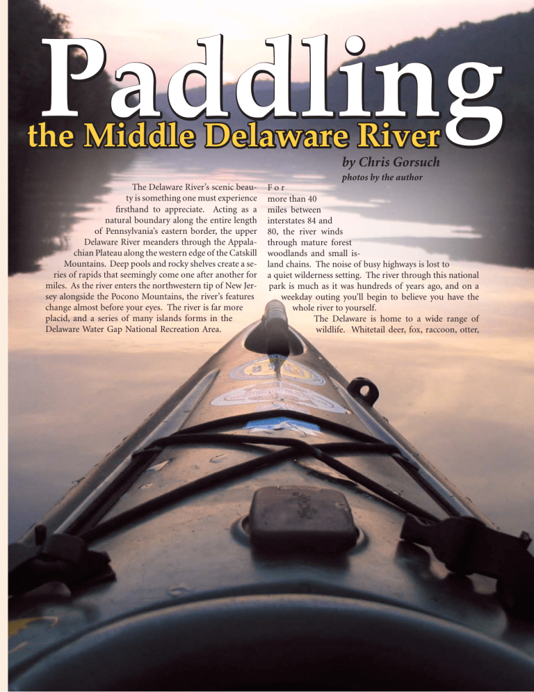
Paddling the Middle Delaware River by Chris Gorsuch The Delaware River’s scenic beauty is something one must experience firsthand to appreciate. Acting as a natural boundary along the entire length of Pennsylvania’s eastern border, the upper Delaware River meanders through the Appalachian Plateau along the western edge of the Catskill Mountains. Deep pools and rocky shelves create a series of rapids that seemingly come one after another for miles. As the river enters the northwestern tip of New Jersey alongside the Pocono Mountains, the river’s features change almost before your eyes. The river is far more placid, and a series of many islands forms in the Delaware Water Gap National Recreation Area. www.fish.state.pa.us photos by the author For more than 40 miles between interstates 84 and 80, the river winds through mature forest woodlands and small island chains. The noise of busy highways is lost to a quiet wilderness setting. The river through this national park is much as it was hundreds of years ago, and on a weekday outing you’ll begin to believe you have the whole river to yourself. The Delaware is home to a wide range of wildlife. Whitetail deer, fox, raccoon, otter, Pennsylvania Angler & Boater • September-October 2006 7 beaver, mink, muskrat, and even black bear inhabit the woodlands along the river. A variety of waterfowl also calls the Delaware home. Canada geese, mallards, teal, mergansers, and wood ducks are among the most common. The great blue heron and white egret are often seen sneaking through the shallow shoals along the river for crayfish and minnows. Osprey and the majestic bald eagle also call this area home and can be seen gliding, fishing, and resting in the tall treetops that line the Delaware’s banks. Even though there are many ways to experience the sights and sounds of the middle Delaware, paddling a canoe or kayak is about the best way to capture all the Delaware has to offer. While paddling quietly, the sights and sounds of nature can be magical. Nothing captures your senses like an early morning start, when the water looks like glass and everything is just waking up as the sun sneaks over the mountains. The feel of the cool mountain air mixed with the scent of wildflowers like wisteria, rhododendron, and honeysuckle is just breathtaking. Fishing Fishing this river section is well worth the effort. The river is home to trout, walleyes, muskies, bass, catfish, sunfish, carp, striped bass, and a few other species. The smallmouth bass in this stretch, however, are by far the dominant species. River smallmouths are aggressive fish, always willing to chase soft-plastic baits and give the angler a full day of action. With not much more than a curltail grub on an eighth-ounce jig, an angler with medium to light spinning gear will have more than enough action. Smallmouth bass are structure- and current-oriented, and the river in this area is full of submerged rocks and cover toward which bass naturally gravitate. Smallmouth bass are comfortable in modest current and can be found in the riffles and current breaks near or around swift-moving water. They are opportunistic and willingly grab soft-plastic baits bounced or drifted through the current washes. Paddling The Delaware Water Gap National Recreation Area is well-suited even to the most novice paddlers. This 40-mile river stretch has no difficult rapids to navigate. The only rapids worth noting are the pair of rapids exiting the Wallpack Bend alongside and below Sambo Island, and these are rated only I+. The vast majority of this area offers large, peaceful pools and the occasional shallow riffles with modest current. Access points along the National Recreation The river is home to trout, walleyes, muskies, bass, catfish, carp, striped bass and a few other species, like this plump redbreast sunfish. 8 Pennsylvania Angler & Boater • September-October 2006 Heavy rain and subsequent Delaware River flooding during the summer of 2006 may have changed some camp sites and accesses. Before heading to the Delaware, confirm your plans with the Delaware Water Gap National Recreation Area. Web site links appear at the end of the article. www.fish.state.pa.us Pennsylvania Access Areas Milford Beach Access Dingmans Access Eshback Access Bushkill Access Smithfield Beach Access 762 Pennsylvania Area average every 8 to 10 miles with a few even more frequently 763 than that. The frequency of the canoe access points along the river makes planning day trips 764 very simple. During normal summer and early fall conditions, the Dela765 ware River flows about 1.5 miles per hour through the national park. A safe guideline when selecting the take-out point is the average flow. It’s fairly easy 869 to manage two miles per hour in a canoe or kayak with very little paddling, so day trips with distances of 10 to 12 miles are easily managed in six to eight hours. This leaves plenty of time to stop on an island and take a lunch break or just stretch your legs for a while. If you wish to paddle more, miles can be added or time shed from the plan. When fishing, I usually suggest nothing more than a mile per hour on the river. You tend to spend far more time in each area, and if you stop and wade a while, you’ll find that even 4 to 6 river miles can easily last all day. Resources There are plenty of online and free maps available for this section of the river. The Delaware River Basin Commission offers a detailed set of waterproof maps that cover 200 miles of the non-tidal Delaware River from Hale Eddy to Trenton. These maps offer average depth, channel locations, and island names, and provide class identification for all rapids and launch and access details along the river. Combined with a Pennsylvania atlas or Fish & Boat Commission Fishing & Boating Map, they make for great planning tools and can be carried along on the trip to help identify islands and other waypoints. It is worth noting that even though this river section is tranquil, consider all safety provisions. Wear your PFD (personal flotation device, or life jacket) at all times. Prepare for all-day sun on a hot day. Wearing a hat and sunglasses is a good plan. Sunscreen is also something to bring along www.fish.state.pa.us map-Chris Gorsuch 762 763 764 765 869 to protect your skin from a full day in the sun. Being surrounded by all that water, dehydration is often overlooked. Bring plenty of bottled water with you to keep hydrated. There are plenty of other resources available to assist in planning a day on the river. The National Park Service maintains a web site dedicated to the Delaware Water Gap. Visit www.nps.gov/dewa/index.htm. The site offers information on biking, hiking and boating. It provides maps and information on a wide variety of activities. The web page also lists over a dozen professional canoe and kayak livery services for the surrounding area. The Delaware River Water Trail, encompassing 250 miles from Hancock, NY, to Trenton, NJ, is under development by the Delaware River Greenway Partnership. Visit www.drgp.org. The Pennsylvania Fish & Boat Commission offers regional maps that list accesses and amenities. Visit the Commission’s web site, www.fish.state.pa.us, and on the main page’s left side, click on “County Guide.” You can view, download or print these maps. To order the Commission’s Fishing & Boating Map, see the order form in this issue on page 62. Pennsylvania Angler & Boater • September-October 2006 9


