Enroute
advertisement
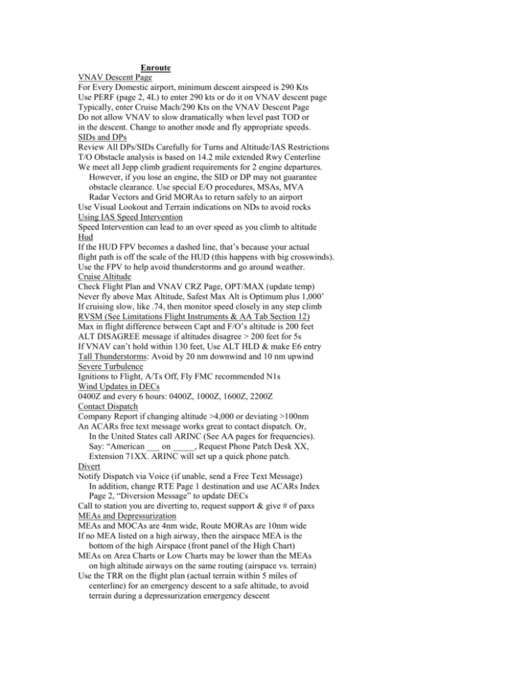
Enroute VNAV Descent Page For Every Domestic airport, minimum descent airspeed is 290 Kts Use PERF (page 2, 4L) to enter 290 kts or do it on VNAV descent page Typically, enter Cruise Mach/290 Kts on the VNAV Descent Page Do not allow VNAV to slow dramatically when level past TOD or in the descent. Change to another mode and fly appropriate speeds. SIDs and DPs Review All DPs/SIDs Carefully for Turns and Altitude/IAS Restrictions T/O Obstacle analysis is based on 14.2 mile extended Rwy Centerline We meet all Jepp climb gradient requirements for 2 engine departures. However, if you lose an engine, the SID or DP may not guarantee obstacle clearance. Use special E/O procedures, MSAs, MVA Radar Vectors and Grid MORAs to return safely to an airport Use Visual Lookout and Terrain indications on NDs to avoid rocks Using IAS Speed Intervention Speed Intervention can lead to an over speed as you climb to altitude Hud If the HUD FPV becomes a dashed line, that’s because your actual flight path is off the scale of the HUD (this happens with big crosswinds). Use the FPV to help avoid thunderstorms and go around weather. Cruise Altitude Check Flight Plan and VNAV CRZ Page, OPT/MAX (update temp) Never fly above Max Altitude, Safest Max Alt is Optimum plus 1,000’ If cruising slow, like .74, then monitor speed closely in any step climb RVSM (See Limitations Flight Instruments & AA Tab Section 12) Max in flight difference between Capt and F/O’s altitude is 200 feet ALT DISAGREE message if altitudes disagree > 200 feet for 5s If VNAV can’t hold within 130 feet, Use ALT HLD & make E6 entry Tall Thunderstorms: Avoid by 20 nm downwind and 10 nm upwind Severe Turbulence Ignitions to Flight, A/Ts Off, Fly FMC recommended N1s Wind Updates in DECs 0400Z and every 6 hours: 0400Z, 1000Z, 1600Z, 2200Z Contact Dispatch Company Report if changing altitude >4,000 or deviating >100nm An ACARs free text message works great to contact dispatch. Or, In the United States call ARINC (See AA pages for frequencies). Say: “American ___ on _____, Request Phone Patch Desk XX, Extension 71XX. ARINC will set up a quick phone patch. Divert Notify Dispatch via Voice (if unable, send a Free Text Message) In addition, change RTE Page 1 destination and use ACARs Index Page 2, “Diversion Message” to update DECs Call to station you are diverting to, request support & give # of paxs MEAs and Depressurization MEAs and MOCAs are 4nm wide, Route MORAs are 10nm wide If no MEA listed on a high airway, then the airspace MEA is the bottom of the high Airspace (front panel of the High Chart) MEAs on Area Charts or Low Charts may be lower than the MEAs on high altitude airways on the same routing (airspace vs. terrain) Use the TRR on the flight plan (actual terrain within 5 miles of centerline) for an emergency descent to a safe altitude, to avoid terrain during a depressurization emergency descent
