Introduction to Geographic Information Systems
advertisement

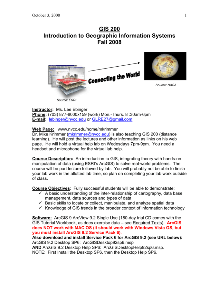
October 3, 2008 1 GIS 200 Introduction to Geographic Information Systems Fall 2008 Source: NASA Source: ESRI Instructor: Ms. Lee Ebinger Phone: (703) 877-8000x159 (work) Mon.-Thurs. 8 :30am-6pm E-mail: lebinger@nvcc.edu or GLRE27@gmail.com Web Page: www.nvcc.edu/home/mkrimmer Dr. Mike Krimmer (mkrimmer@nvcc.edu) is also teaching GIS 200 (distance learning). He will post the lectures and other information as links on his web page. He will hold a virtual help lab on Wedesdays 7pm-9pm. You need a headset and microphone for the virtual lab help. Course Description: An introduction to GIS, integrating theory with hands-on manipulation of data (using ESRI’s ArcGIS) to solve real-world problems. The course will be part lecture followed by lab. You will probably not be able to finish your lab work in the allotted lab time, so plan on completing your lab work outside of class. Course Objectives: Fully successful students will be able to demonstrate: A basic understanding of the inter-relationship of cartography, data base management, data sources and types of data Basic skills to locate or collect, manipulate, and analyze spatial data Knowledge of GIS trends in the broader context of information technology Software: ArcGIS 9 ArcView 9.2 Single Use (180-day trial CD comes with the GIS Tutorial Workbook, as does exercise data – see Required Texts). ArcGIS does NOT work with MAC OS (it should work with Windows Vista OS, but you must install ArcGIS 9.2 Service Pack 6). Also download and install Service Pack 6 for ArcGIS 9.2 (see URL below): ArcGIS 9.2 Desktop SP6: ArcGISDesktop92sp6.msp AND ArcGIS 9.2 Desktop Help SP6: ArcGISDesktopHelp92sp6.msp. NOTE: First Install the Desktop SP6, then the Desktop Help SP6. October 3, 2008 2 If you optionally installed the ESRI ArcGIS 9.2 Tutorial (which is unrelated to the workbook tutorial), also download and install Tutorial92sp6.msp. If you have the 60-day ArcGIS 9.2 Evaluation Edition, then install ArcGISEvalEdition92sp6.msp http://support.esri.com/index.cfm?fa=downloads.patchesServicePacks.vie wPatch&PID=15&MetaID=1409 Required Texts: Concepts and Techniques of Geographic Information Systems, Second Edition, by C.P. Lo and Albert K.W. Yeung. Prentice Hall, Inc., ISBN: 0-13-149502-X © 2007. This book is at the Loudoun Campus bookstore and at www.amazon.com. OK to buy used book. GIS Tutorial, Workbook for ArcGIS 9.2 (2nd Ed) Wilpen R. Gorr and Kristen S. Kurland. ESRI Press, ISBN: 978-1-58948-127-5 © 2007 This book is at the Loudoun Campus bookstore and at www.amazon.com . Buy a new version if at all possible – a used version is OK. Do NOT buy the 9.3 edition. Other Software and Hardware: Microsoft Word, Excel and screen capture (Paint or MWSnap freeware) for tutorial exercises. Microsoft Powerpoint for presentations. Please save as MS Word/Excel/PowerPoint as 2003 format (not 2007 format) if you send me any files. Flash drive (2GB) – bring to class. E-mail: Be sure to check your “vccs” email account regularly – set up your vccs e-mail to forward to your personal e-mail, the vccs account is very limited in size. Dropping class: Check the NVCC schedule of classes for definitive information. Sept. 11, 2008 - drop with tuition refund. Oct. 17, 2008 - last day to withdraw without grade penalty or change to audit (must change to audit before mid-term exam). Quizzes: You should be prepared for a quiz each week (except weeks when you have an exam or presentation) Quizzes cover previous weeks’ lecture, seminar, lab, & reading material Short; 3-5 questions. Multiple choice, true/false, very short answer GIS Tutorial Assignments (“Labs”): Hand in on due date October 3, 2008 3 Due the week after being assigned. 1 week late = 10% loss of earned grade. More than 1 week late = 0 points. Exceptions must be coordinated in advance w/the instructor! Mid-term and Final Exams: 2 Parts- Part 1--Theory: vocabulary; multiple choice; true/false; short answer Closed book (no books, notes, internet or other outside assistance!) Must take at testing center. Part 2 --Practical: “hands-on” GIS problem(s) Open book Submit via Blackboard/e-mail Term Project (more details to follow): Geographic problem of interest to you. Collect data, analyze data, and present results to a decision maker for consideration! Projects may be completed individually, or by groups of 2 or 3 persons. Project deliverables: Project write up (a paper) Powerpoint presentation (hard copy and electronic) 10 minute presentation (narrated Powerpoint, posted to Blackboard) THIS PROJECT WILL REQUIRE SIGNIFICANT TIME TO COMPLETE! Grading Available Points Labs Quizzes Mid-Term Final Exam Term Project Total 200 75 100 125 150 650 A B C D F Final Grade …………………… 585 - 650 …………………… 520- 584 …………………… 455- 519 …………………… 390- 454 .………………… 389 or less October 3, 2008 4 Weekly Schedule (subject to change): Date Topic Lo & Yeung Assignment GIS Tutorial Assignment/”Lab” Aug 30 Course Introduction Install ArcView 9.2 & Data Ch 1 Intro to GIS Sep 6 Intro to GIS Appendix B Tutorial 1 Web Module 1* Ex 1-1 Web Module 2* Sep 13 Quiz 1 Scale Coordinate Systems Projections, Datums Sep 20 Quiz 2 Thematic Mapping Sep 27 Quiz 3 Nature of GIS data: Raster & Vector Oct 4 Quiz 4 Oct 11 Quiz 5 Geodatabases Data models Spatial analysis: query, buffering, extraction ***MID-TERM EXAM*** Cartography & Geovisualization Digitizing Oct 18 Oct 25 Quiz 6 Nov 1 Quiz 7 Nov 8 Nov 15 Quiz 8 ***GIS PROJECT PROPOSALS DUE*** Raster & Vector Data Nov 22 Quiz 9 GIS and the Web Mobile GIS Geocoding Distributed GIS Metadata GPS i(n class exercise) Nov 29 No Class Dec 6 GIS Management Future of GIS Ch 2.1-2.5.5, Maps, Coordinates, Projections, Georeferencing Ch 3.1-3.1.4 Digital Rep. of Geodata Ch 2.7 – 2.8 Geo. Hierarchy, Meas. Scales Ch 3.2-3.2.4 Classification, Feature Codes, Precision, Organization Ch 3.4-3.8 Raster, Vector, Topology, O-O, & GeoRelational Data Ch 3.3-3.3.3 DBMS Ch 10.1-10.2, 10.8, 10.10, (Opt.10.4-10.4.1) Spatial Analysis & Modeling ----------Ch 7 (Opt. 7.3, 7.6) Cartography, Geovisualization GIS Project Proposal Ch 5.1-5.2.1, 5.2.4-5.2.5, 5.3.1 – 5.3.2 Ch 6.1-6.3.3, 6.4-6.4.2 Raster/Vector Geoprocessing Appendix A Ch 6.3.10 Address Geocoding Ch 4 (Opt. 4.4.2-4.4.3, 4.5.3, 4.7) Ch 2.6.3 Geospatial Data Stnd., GPS Holiday Pp 170-182 Ex 1-2 Web Module 3* Tutorial 2 Ex 2-2 Tutorial 3 Ex 3-1 & 3-2 Tutorial 4 Ex 4-1 & 4-2 Tutorial 8 Pp 270-288 Ex 8-1 & 8-2 -----------Ex 2-1 Tutorial 6 Ex 6-1 & 6-2 Tutorial 5 Pp 146-185 Ex 5-1 & 5-2 Pp140-159 Tutorial 7 Ex 7-1 & 7-2 Tutorial 9 Ex 9-1 & 9-2 Holiday Ch 11 (Opt. 11.5.1-11.5.4, 11.6.1-11.6.2), -----------Ch 12 (Opt. 12.2.2-12.3.4) Sys. Engineering, GIS Trends Dec 13 ***FINAL EXAM*** ---------------------Dec 20 ***TERM PROJECTS*** ---------------------*NOTE: ESRI Training online course: Getting Started with GIS (Windows only) http://training.esri.com/acb2000/showdetl.cfm?DID=6&Product_ID=915 Set up an ESRI Global account before taking the course. Select the Try it Now button. Install other software if needed (Windows Media Player, Adobe Flash Player, Adobe Reader). Download/install the course material/data). Work through the web modules.


