Read a sample page of the Pocket Weather Forecaster
7
It’s in front of you!
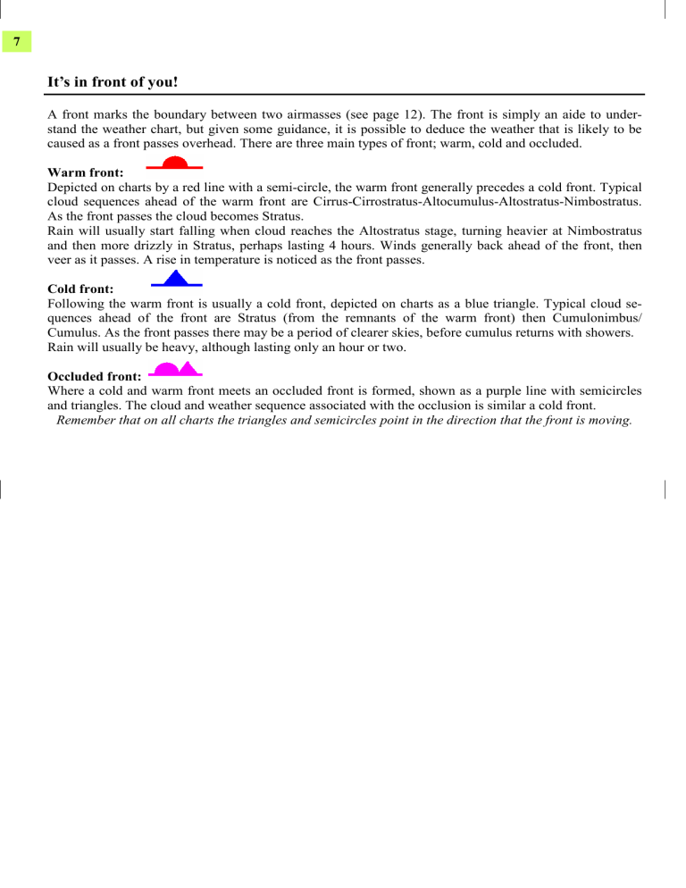
A front marks the boundary between two airmasses (see page 12). The front is simply an aide to understand the weather chart, but given some guidance, it is possible to deduce the weather that is likely to be caused as a front passes overhead. There are three main types of front; warm, cold and occluded.
Warm front:
Depicted on charts by a red line with a semi-circle, the warm front generally precedes a cold front. Typical cloud sequences ahead of the warm front are Cirrus-Cirrostratus-Altocumulus-Altostratus-Nimbostratus.
As the front passes the cloud becomes Stratus.
Rain will usually start falling when cloud reaches the Altostratus stage, turning heavier at Nimbostratus and then more drizzly in Stratus, perhaps lasting 4 hours. Winds generally back ahead of the front, then veer as it passes. A rise in temperature is noticed as the front passes.
Cold front:
Following the warm front is usually a cold front, depicted on charts as a blue triangle. Typical cloud sequences ahead of the front are Stratus (from the remnants of the warm front) then Cumulonimbus/
Cumulus. As the front passes there may be a period of clearer skies, before cumulus returns with showers.
Rain will usually be heavy, although lasting only an hour or two.
Occluded front:
Where a cold and warm front meets an occluded front is formed, shown as a purple line with semicircles and triangles. The cloud and weather sequence associated with the occlusion is similar a cold front.
Remember that on all charts the triangles and semicircles point in the direction that the front is moving.
Pressure systems
The charts seen on television, the internet or in our daily newspaper can be very useful when forecasting.
They show low pressure and high pressure, as well as fronts. By identifying the typical weather brought by these systems, one can gain a greater understanding as to the weather over the coming hours. Here are some symbols you may see on charts.
Winds flow in an anti-clockwise directions around low pressure. Poor weather is associated with low pressure including rain, drizzle and strong winds.
Winds flow clockwise around high pressure areas. Summer highs bring fine conditions and sunshine, whilst winter highs can cause overnight frosts and daytime cloud.
LOW HIGH
Pressure systems
The charts seen on television, the internet or in our daily newspaper can be very useful when forecasting.
They show low pressure and high pressure, as well as fronts. By identifying the typical weather brought by these systems, one can gain a greater understanding as to the weather over the coming hours. Here are some symbols you may see on charts.
Winds flow in an anti-clockwise directions around low pressure. Poor weather is associated with low pressure including rain, drizzle and strong winds.
Winds flow clockwise around high pressure areas. Summer highs bring fine conditions and sunshine, whilst winter highs can cause overnight frosts and daytime cloud.
8
LOW HIGH
8
