Seth Docherty - WordPress.com
advertisement
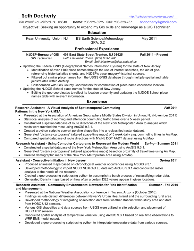
Seth Docherty 490 Woolf Rd. Milford, NJ 08848 http://sethdocherty.wordpress.com/ Home: 908-996-3295 Cell: 908-328-7371 sddocherty@gmail.com Objective: Seeking an opportunity to expand my GIS skills and knowledge as a GIS Technician. Education Kean University, Union, NJ BS Earth Science/Meteorology GPA: 3.2 May 2011 Professional Experience NJDEP-Bureau of GIS GIS Technician 401 East State Street Trenton, NJ 08625 Fall 2011 - Present Seth Hackman: Phone: (609) 633-1262 Email: Seth.Hackman@dep.state.nj.us Updating the Federal GNIS (Geographical Names Information System) for the state of New Jersey. Identification of over 1100 place names through the use of internet searches, the aid of georeferencing historical atlas sheets, and NJDEP's base imagery/historical sources. Filtered out similar place names from the USGS GNIS database through multiple spatial and table joins/relates within ArcMap. Collaboration with GIS County Coordinators for confirmation of place name coordinate location. Updating the NJDOE School place names for the state of New Jersey. Editing the geo-coordinates to reflect its location presently and updating the NJDOE School place names table with relevant information. Experience Research Assistant - A Visual Analysis of Spatiotemporal Commuting Fall 2011 Patterns in the New York MSA Presented at the Association of American Geographers Middle States Division in Union, NJ (November 2011) Statistical analysis of morning and afternoon commuting traffic times over a 5 week period. Constructed a spatial database of route directions of the New York Metropolitan Area to analyze which roads were traveled the most using ArcGIS 9.3.1. Created a python script to convert polyline shapefiles into a reclassified raster dataset. Generated “distance cartograms” (altered space-time maps) of 5 week daily avg. commuting times in ArcMap. Compared spatial database of route directions with NY/NJ DOT AADT dataset using ArcMap. Research Assistant - Using Computer Cartograms to Represent the Modern World Spring - Summer 2011 Constructed a spatial database of the New York Metropolitan Area using ArcGIS 9.3.1. Generated “distance cartograms” (altered space-time maps) based on proximity of travel time using ArcMap. Created demographic maps of the New York Metropolitan Area using ArcMap. Assistant - Convective Initiation in New Jersey Spring 2011 Produced animated maps based on chronological weather occurrences using ArcGIS 9.3.1. Developed methodology to import NCDC NEXRAD L3 data into ArcGIS 9.3.1 and conducted raster analysis to the needs of the research. Created a geo-processing script using python to accomplish a batch process of reclassifying radar data. Generated Density maps based on how often a certain DBZ values appear in given locations. Research Assistant - Community Environmental Networks for Risk Identification Summer - Fall 2010 and Management Presented at the National Weather Association conference in Tucson, Arizona (October 2010). Findings include distinct differences between Newark's Urban Heat Island and the surrounding rural area. Developed methodology of integrating observation data from weather stations within study area and data from HOBO U12 sensors. Various GIS shapefiles and data sources from USGS were utilized in site selection and placement of HOBO U12 sensors. Conducted spatial analysis of temperature variation using ArcGIS 9.3.1 based on real time observations to WRF EMS model output. Developed a geo-processing script using python to interpolate temperature data from various sources. Seth Docherty http://sethdocherty.wordpress.com/ 490 Woolf Rd. Milford, NJ 08848 Home: 908-996-3295 Cell: 908-328-7371 sddocherty@gmail.com Produced animation of 5 minute temperature readings and hourly wind direction over a 12 hour period for each day during our study period using ArcGIS 9.3.1. Research Assistant - Siting Investigation for a Multisensory Platform for Local Summer 2009 and Environmental Studies and Testing Presented at the National Weather Association conference in Norfolk, Virginia (October 2009). Assisted in planning and placement of Q5 Sensors to study temperature, humidity, and light intensity. Project Manager - METR 3380: Meteorological Instrumentation Project Spring 2009 Presented to NWS officials along with the president of Kean University. Managed a project for the proposal of site location for the future placement of a CWOP weather tower. Responsible for the planning and placement of the weather tower assessment tool for: Surveying the spatial and temporal micro-meteorological differences using Q5 Sensors measuring temperature, humidity, and light intensity. Assessing each location based on the local regional land use for the purpose of collecting the most efficient and accurate data. Skills Currently Studying Proficient knowledge of ArcGIS 9.3.1 and extensions. Comprehensive knowledge of troubleshooting and the installation of computer software/hardware. Basic knowledge of Adobe Photoshop, HTML coding, Matlab, Unix, Python and Java. Python Adobe Dreamweaver Microsoft Access 2010 Additional Activities Fall 2011 - MAC URISA Fall Meeting Attended the MAC URISA GIS education seminar. Spring 2011 - Influenza transmission: Exploratory Visualization and Knowledge Discovery of Individual Space-time Behavioral Patterns Participated in a NIH-funded data collection project through GPS location over a 10 week period to visualize the spread of influenza on campus. Spring 2011 - GIS in GeoScience, Kean University, Lab Assistant Assisted 10 students throughout the semester by answering questions, diagnosing problems, providing solutions during labs, and teaching a lab. Spring 2011 - Environmentors: Urban Heat Islands and the Modification of Atmospheric Variables Conducted research for Environmentors and created a poster based off my research. Fall 2010 - Northeast Regional Operational Workshop: Community Environmental Networks for Risk Identification and Management Prepared slides for presentation based on summer 2010 research. Professional Development Fall 2011 - Present: Member of New Jersey Geospatial Forum Spring 2008 – Spring 2010: Student Forecaster for Keancast http://hurri.kean.edu/~keancast (Keancast) Updated Keancast webpage on a bi-weekly schedule. Updates consisted of a detailed daily forecast and an extended 7 day forecast. Spring 2008: Forecasting experience competing in WX Challenge www.wxchallenge.com / User ID: sethdd Forecasted for 5 US cites over a ten week period. Cumulative score rank: 667 out of 1621 Fall 2008 – Spring 2011: Member of AMS/NWA Club Actively participated in events such as Communication Day, Kean University Weather and Environmental Hazard Symposium, open houses the chapter holds on campus, and weekly meetings. Seth Docherty http://sethdocherty.wordpress.com/ 490 Woolf Rd. Milford, NJ 08848 Home: 908-996-3295 Cell: 908-328-7371 sddocherty@gmail.com References Dr. Paul Coft Professor, Kean University 1000 Morris Ave. Union, NJ 07083, (908) 737-3720 pcroft@kean.edu Dr. Feng Qi Professor, Kean University 1000 Morris Ave. Union, NJ 07083, (908) 737-3668 fqi@kean.edu Will Heyniger Meteorologist, Coordinating Tech Manager, Geology/Meteorology Dept, Kean University 1000 Morris Ave. Union, NJ 07083, (908) 737-3689 wheynige@kean.edu Kevin Maxfield President Maxfield Productions/Maxfield consulting, Event Planning and business marketing, VP of sales and marketing, Marketing Plus One 79 Sutton Rd. Califon, NJ 07830, (908) 442-3662 maxfieldconsulting@gmail.com
