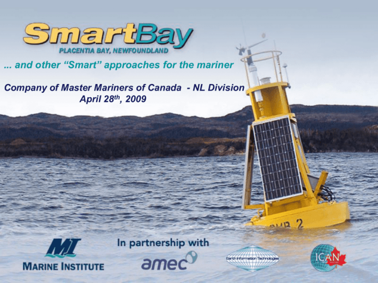
Placentia Bay Demonstration Project
advertisement

... and other “Smart” approaches for the mariner Company of Master Mariners of Canada - NL Division April 28th, 2009 “Simple access by all stakeholders to data and information in support of effective management and sustainable development of coastal ocean areas and the safety and security of life at sea.” or simply put: Better Information….Better Decisions • Economic importance – Year round activity – Fishery, oil and gas, transportation, tourism, new heavy industry proposed and under development. – 2nd to Vancouver in value of goods shipped – Over 500 fishing enterprises 90 x125 kms • Environmental sensitivity – Brander-Smith Report (1990), Transport Canada (2008) – 30+ years without a major incident – 1200 tanker movements/yr. – 320 Mbbls • Rapidly becoming the Province’s industrial heartland – Location of choice for new heavy industry Photo: Newfoundland LNG Limited • Access to static and dynamic/real time data from a variety of sources • Focus on applications of the technology • Outputs must be readily accessible and practical – in other words useful to all potential end users • Applications from research to practical Better Information….Better Decisions • • • • • • • • • • • • • Wind direction air temperature humidity dew point barometric pressure wind speed water temperature salinity, current speed current direction wave height wave direction wave period 230 m. 24 m. 27 m. Come by Chance Point buoy equipped with a Nortek AWAC providing full current and wave data Below Water; - Salinity - Sea surface temperature - Dissolved Oxygen - 7 channels of upwelling radiance data (ocean color) - Chlorophyll fluorescence - Turbidity - surface current speed and direction Above Water; - Wind Speed and Direction - Air temperature - Barometric pressure and relative humidity 138 m. Significant wave height • Maximum wave height • Wave period • Wave direction • (on loan to the project from the Institute of Ocean Technology NRC) All maintenance, sensor integration and computer/server support is handled in-house by MI and the SmartBay partners AMEC, ICAN and EIT • General weather synopsis • High Resolution forecasts for areas of interest – SmartBay is the first commercial application of the Weather Research and Forecast (WRF) hi-res. forecast model in Canada • Prediction of wind, waves, air, sea temperature, precipitation, icing potential To come • Current circulation model • Spill trajectory modeling • Aimed at Shipboard Users - Transport, Fishing and workboats - ECS based user interface - AIS as primary communications backbone -“live” met and oceanographic information • 8 vessels equipped with ECS and AIS Tara Chantelle – Port au Bras (Morris Fudge) Eastern Point – North Harbour (Earl Johnston) Yellow Fin – Monkstown (Ross Dunphy) Linda & Marie III – Southern Harbour (Mike Norman) Sarah & Eileen – Rushoon (Bernard Norman) Bay Rover II – Dave Slade (North Harbour) Murray - RCMP (Burin) 36‟ Narwhal RIB maintenance boat (Marine Institute) •SmartBay buoys are equipped with ATONiS Improves vessel safety and situational awareness in the bay ….a typical 6 hours in Hong Kong Harbour Source: ICAN Ltd. AIS, Hong Kong Harbour •Test-bed and demo. site for new technologies – buoys can accommodate additional instrumentation •Data source for other commercial and R&D initiatives •An operational „laboratory‟ supporting innovation and training through applied R&D with industry, government and academia •Spin-off projects – eg. Northern Radar, Compusult, Lotek Home Page Average/Month (8 month period) Buoys 6844 Weather 2004 Harbours 525 Communities 316 Seabed Mapping 134 Ocean Science 81 Water Quality 205 Industrial 81 IM Committee 87 • Move from demo. to operational • Acquisition of additional met/ocean buoys • Dev‟t of circulation and high res. spill trajectory models incorporating real-time weather and seastate data • Enhanced information exchange to users – AIS, ATONiS, text messaging, PDAs etc. • Expansion to Grand Banks and Fortune Bay • Enhance R&D and educational aspects


