Monsoon Asia: Physical Factors
advertisement
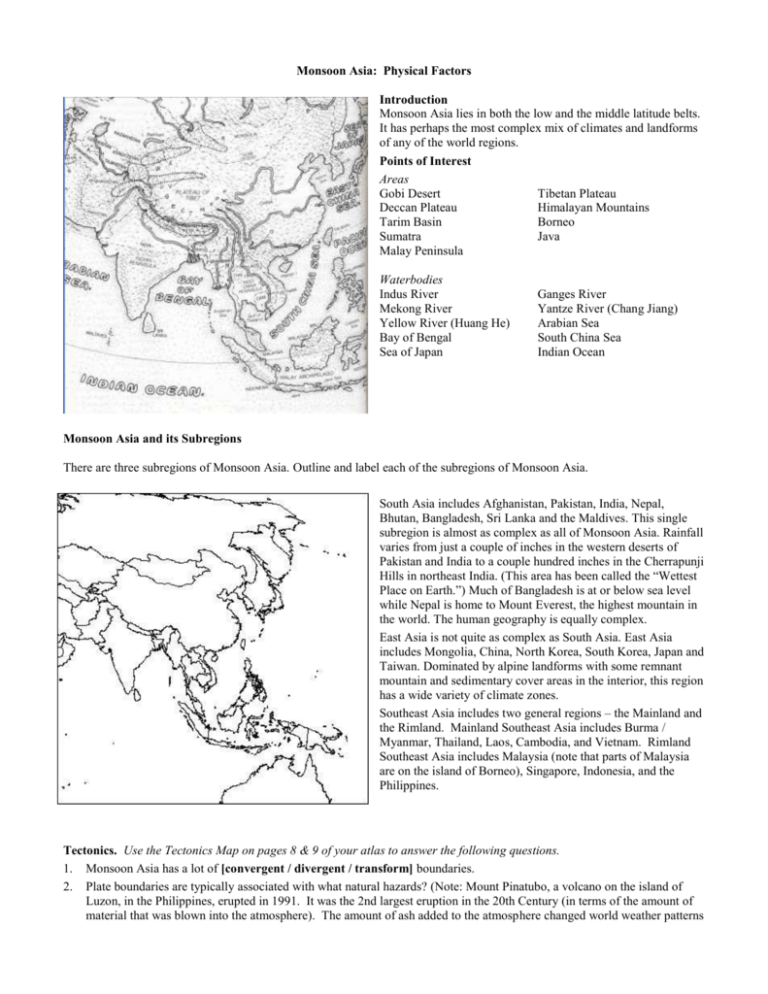
Monsoon Asia: Physical Factors Introduction Monsoon Asia lies in both the low and the middle latitude belts. It has perhaps the most complex mix of climates and landforms of any of the world regions. Points of Interest Areas Gobi Desert Tibetan Plateau Deccan Plateau Himalayan Mountains Tarim Basin Borneo Sumatra Java Malay Peninsula Waterbodies Indus River Mekong River Yellow River (Huang He) Bay of Bengal Sea of Japan Ganges River Yantze River (Chang Jiang) Arabian Sea South China Sea Indian Ocean Monsoon Asia and its Subregions There are three subregions of Monsoon Asia. Outline and label each of the subregions of Monsoon Asia. South Asia includes Afghanistan, Pakistan, India, Nepal, Bhutan, Bangladesh, Sri Lanka and the Maldives. This single subregion is almost as complex as all of Monsoon Asia. Rainfall varies from just a couple of inches in the western deserts of Pakistan and India to a couple hundred inches in the Cherrapunji Hills in northeast India. (This area has been called the “Wettest Place on Earth.”) Much of Bangladesh is at or below sea level while Nepal is home to Mount Everest, the highest mountain in the world. The human geography is equally complex. East Asia is not quite as complex as South Asia. East Asia includes Mongolia, China, North Korea, South Korea, Japan and Taiwan. Dominated by alpine landforms with some remnant mountain and sedimentary cover areas in the interior, this region has a wide variety of climate zones. Southeast Asia includes two general regions – the Mainland and the Rimland. Mainland Southeast Asia includes Burma / Myanmar, Thailand, Laos, Cambodia, and Vietnam. Rimland Southeast Asia includes Malaysia (note that parts of Malaysia are on the island of Borneo), Singapore, Indonesia, and the Philippines. Tectonics. Use the Tectonics Map on pages 8 & 9 of your atlas to answer the following questions. 1. Monsoon Asia has a lot of [convergent / divergent / transform] boundaries. 2. Plate boundaries are typically associated with what natural hazards? (Note: Mount Pinatubo, a volcano on the island of Luzon, in the Philippines, erupted in 1991. It was the 2nd largest eruption in the 20th Century (in terms of the amount of material that was blown into the atmosphere). The amount of ash added to the atmosphere changed world weather patterns 3. 4. 5. 6. 7. 8. for more than two years after the eruption. Only 300 people died because the government evacuated tens of thousands of people from the area. In 1995, an earthquake near Kobe, Japan, killed 6000 people and caused over $100 billion in damages. This was the second most destructive earthquake in Japanese history. An earlier earthquake, in 1923, caused over 100,000 deaths. Tsunamis are also associated with tectonic activity. In December 2004, an earthquake off the Indonesian island of Sumatra triggered the world’s deadliest tsunami. The earthquake was powerful, causing tectonic plates to shift almost 100 feet. The energy it released was 10,000 times more powerful than the bomb dropped on Hiroshima. It caused the magnetic north pole to shift one inch. It caused the earth to spin faster, decreasing the length of the day by 2.68 microseconds. It actually changed the shape of the earth slightly, making it rounder. The tsunami that resulted from the quake that occurred off the coast of Sumatra killed 200,000 to 300,000 people.) A long chain of islands is called an archipelago. The Lesser Antilles islands, for example, form an archipelago. Just like the Lesser Antilles, the Asian island chains are volcanic islands created by [convergent / transform / divergent] plate boundaries. Three countries comprised almost entirely of island chains are _____________, ______________, and ____________. Peninsular India was once part of Africa. Now it is colliding with the Eurasian landmass, creating a [convergent / transform / divergent] plate boundaries and some of the highest mountains and plateaus in the world. North of India lies the __________ Plateau. Known as the “Roof of the World,” it is almost three miles high and is the world’s highest inhabited plateau. South of Tibet are the _________ Mountains, which contains Mount Everest, the world’s highest mountain. ___________ and ___________ are two countries that lie almost entirely in this mountain range. Landforms (Use the map on pages 6 & 7 of the Atlas.) 9. The dominant landform of Monsoon Asia is ___________________. 10. Alpine landforms tend to have [good / poor / varying] soil fertility 11. Alpine landforms tend to be mineral [rich / poor]. 12. The archipelagos of the alpine region are of volcanic origin. This means that the soils of the archipelagos are probably [fertile / infertile]. 13. ___________________ is the only subregion of Monsoon Asia that is NOT almost completely dominated by Alpine landforms. 14. Like Africa, the dominant landform of Peninsular India and Sri Lanka is ______________. Therefore, this region probably has [fuel / non-fuel] minerals. This is the most mineral-rich area of India. 15. There are two major areas of sedimentary cover in Monsoon Asia: 1) the Indo-Gangetic Plain; 2) the Tarim Basin. These areas probably have [fuel / nonfuel] minerals. Based on their landforms, the Indo-Gangetic Plain and the Tarim probably have [fertile / infertile] soils. 16. The Indo-Gangetic Plain is the combined valleys of the Indus and the Ganges Rivers. This sedimentary lowland forms an “n”-shaped valley that arches over Peninsular India. Locate and label it on the map above. Desert climates in the west gradually give way to humid subtropical and tropical rainforest climates in the east. With its high accessibility, the IndoGangetic Plain probably has [low / medium / high] population densities. 17. Which part of Pakistan probably has important fuel minerals? ____________________ Why? 18. The Tarim Basin lies far into the interior, northwest of the Tibetan Plateau, and has no river access. Find it on the landforms map. What is the shape of the Tarim Basin? __________________ It probably has a _________________ climate. Therefore, in spite of its soils, it probably has [low / medium / high] population densities. 19. The Sunda Shelf is a raised under-water area between the island of Borneo and the Malay Peninsula. During the ice ages, sea levels lowered, the South China Sea disappeared, forming a land bridge. It is now filled with sedimentary deposits. The Sunda Shelf has important reserves of ______________(a mineral). Locate and label this area on the map above. 20. Remnant mountains are found mostly in the interior. These are denoted by the number _____. The country of _______________ is dominated by remnant mountains. Remnant landforms are [young / old] mountains. They are linked to [fertile / infertile / mixed] soils. They are linked to [fuel / nonfuel / mixed] minerals. 21. The interior areas of Monsoon Asia probably have _________________ climates and relatively [low / medium / high] population densities. Latitudes 22. East Asia lies almost entirely in the low / middle / high latitudes. 23. Southeast Asia lies almost entirely in the low / middle / high latitudes. 24. South Asia lies in the low / middle / high latitudes. 25. Based on its latitude, which subregion of Asia probably has the greatest potential for economic growth? 26. Based on its latitude, which subregion of Asia probably has high rates of malaria? 27. Based on its latitude, which subregion of Asia probably has the highest population densities? 28. Based on its latitude, which subregion of Asia probably has the lowest population densities? Climates Monsoons Monsoons are one of the characteristics associated with the densely populated areas of Asia. Many people think that monsoons are heavy rains, but this is not the case. A monsoon is a seasonal change in wind direction caused by changing air pressure over a large continent – in this case, Eurasia. Since Eurasia is the largest continent, the changes of pressure over its landmass are the most extreme. Monsoon Asian winds can bring weeks of heavy rains or cloudless skies. By answering the questions below, you should develop a basic understanding of Monsoons. 29. Wind flows from _______ pressure to _______ pressure. Low pressure is associated with ____________ temperatures. High pressure is associated with ___________ temperatures. 30. In the winter, a strong ____________-pressure cell develops over eastern Eurasia because of cold temperatures. The seas surrounding Asia are relatively warm and are associated with _______-pressure cells. Consequently, in the winter, wind flows from the land / seas to the land / seas. In most places, this winter air mass is wet / dry because it originates over land / seas. Therefore, winter monsoons are also called wet / dry monsoons. 31. In the summer, a ______________-pressure cell develops over Central Asia because of hot temperatures. The seas surrounding Asia are cool relative to the land and are associated with weak ________-pressure cells. Consequently, in the summer, wind flows from the land / seas to the land / seas. In most places, this summer air mass is wet / dry because it originates over land / seas so summer monsoons are also called wet / dry monsoons. Low-Latitude Climates 32. As it passes through Asia, from west to east, the Equator crosses the islands of _____________ (a country). 33. Located between the Tropic of _____________, in the north, and the Tropic of _____________, in the south, are the low latitudes. 34. _____________________________ and _______________________ are the two climates associated with the low latitudes. 35. The _____________________________ climate is dominant in the Rimland countries of Southeast Asia. On the map above, it is denoted by the letter ____. 36. Two islands of Indonesia,___________________ and ___________________, have interior areas with mountain climates. Mountain climates are denoted with the letter ____. 37. _______________________________ climate is dominant on the east and west coasts of Mainland Southeast Asia. 38. ______________________ climate is dominant in the interior of mainland Southeast Asia. This climate is denoted with the letter ____. 39. _______________________________ climate is dominant in Bangladesh. 40. _______________________________ climate dominates most of Peninsular India and northeast Sri Lanka. 41. An exception to that rule is the tropical rainforest climate that dominates the east / west coasts of Peninsular India and southwest Sri Lanka. Another exception is the steppe climate that dominates an interior strip of Peninsular India. Steppe climate is denoted with the letter ____. Middle Latitude Climates 42. In Monsoon Asia, winters tend to be relatively [wet / dry] because of monsoons. 43. On the east side of the continent, as you move north across the Tropic of Cancer, the first climate region you encounter is _____________________________. This climate is found in four general areas: 1) the eastern half of the Indo-Gangetic Plain; 2) China south of the Yangtze (Chang Jiang) River; 3) much of South Korea; and 4) southern Japan. This is the primary area of rice production in Monsoon Asia. On the map, it is denoted by the letter ____. 44. Moving toward the poles, the second climate zone is ___________________________. This includes the North China Plain, which includes the valley of the Yellow River (Huang He). It also includes North East China, which is also known as Manchuria, North Korea and northern Japan. Wheat production is important in this climate area, which is designated by the letter ____ on the map. Arid, semi-arid and highland climate areas follow the expected pattern. 45. From Afghanistan into Western India, the dominant climates are deserts and steppes. Deserts are denoted on the map by the letter ____ while steppes are denoted by the letter ____. 46. The interior of East Asia is dominated by _____________________ and steppe climates. Except for Tibet, which is so high that it has ______________________ climates . Internal accessibility is relatively good. Look at Plate 29 in The Geography Coloring Book. 47. Most of the rivers of Monsoon Asia begin on the ________________ Plateau. 48. The Indus is the principal river of Pakistan. Like most rivers that flow through deserts, it is an exotic stream. It corresponds to the letter _____ on the map. What important export crop is probably grown in this area? 49. The Ganges River runs across northern Indian until it flows into the Bay of Bengal. On It corresponds to the letter _____ on the map. Together, these two rivers form the Indo-Gangetic Plain. 50. The Brahmaputra River begins north of the Himalaya Mountains, which span Nepal and Bhutan. It forms a sharp question mark shape, coming around the mountains. It joins with the Ganges to form a common delta that takes up most of the country of Bangladesh. It corresponds to the letter _____ on the map. 51. Southeast Asia has a number of rivers that flow from north to south creating a series of ridges and valleys. The Mekong River is the longest river of Southeast Asia. It flows through all of the countries of mainland Southeast Asia – Burma/Myanmar, Thailand, Laos, Cambodia, and Vietnam. It corresponds to the letter _____ on the map. 52. The longest river of China is the Yangtze (Chang Jiang). It corresponds to the letter _____ on the map. This is the most important commercial waterway of Monsoon Asia. 53. The Yellow River is also called the Huang He. Chinese civilization began along its banks. It corresponds to the letter _____ on the map. 54. Describe the physical geography of East Asia and its effects on demography and economics. 55. Describe the physical geography of South Asia and its effects on demography and economics. 56. Describe the physical geography of Southeast Asia and its effects on demography and economics.
