Review Questions
advertisement
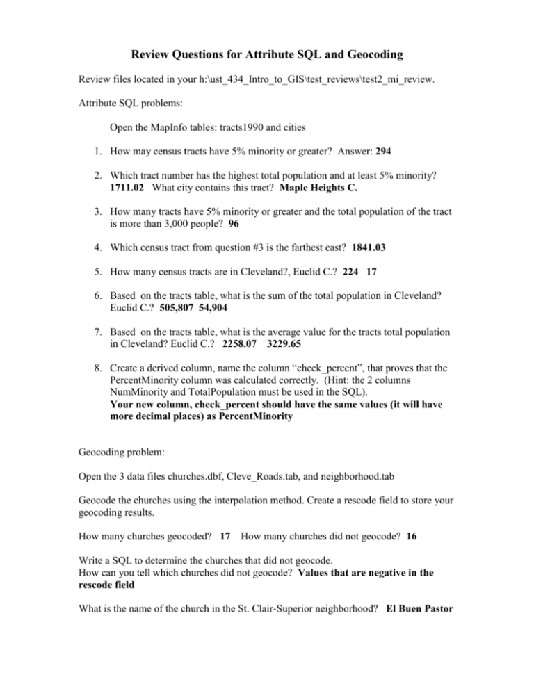
Review Questions for Attribute SQL and Geocoding Review files located in your h:\ust_434_Intro_to_GIS\test_reviews\test2_mi_review. Attribute SQL problems: Open the MapInfo tables: tracts1990 and cities 1. How may census tracts have 5% minority or greater? Answer: 294 2. Which tract number has the highest total population and at least 5% minority? 1711.02 What city contains this tract? Maple Heights C. 3. How many tracts have 5% minority or greater and the total population of the tract is more than 3,000 people? 96 4. Which census tract from question #3 is the farthest east? 1841.03 5. How many census tracts are in Cleveland?, Euclid C.? 224 17 6. Based on the tracts table, what is the sum of the total population in Cleveland? Euclid C.? 505,807 54,904 7. Based on the tracts table, what is the average value for the tracts total population in Cleveland? Euclid C.? 2258.07 3229.65 8. Create a derived column, name the column “check_percent”, that proves that the PercentMinority column was calculated correctly. (Hint: the 2 columns NumMinority and TotalPopulation must be used in the SQL). Your new column, check_percent should have the same values (it will have more decimal places) as PercentMinority Geocoding problem: Open the 3 data files churches.dbf, Cleve_Roads.tab, and neighborhood.tab Geocode the churches using the interpolation method. Create a rescode field to store your geocoding results. How many churches geocoded? 17 How many churches did not geocode? 16 Write a SQL to determine the churches that did not geocode. How can you tell which churches did not geocode? Values that are negative in the rescode field What is the name of the church in the St. Clair-Superior neighborhood? El Buen Pastor Review Questions: Thematic Maps Open the thematic_1.wor located in the directory, n:\wyles\test2_mi_review and answer the following questions. To map the n: drive use \\rein\utility 1. What data layer is being thematically mapped? 2. What field is being mapped? Tracts1990 NumberMinority 3. What type of thematic map is shown? Ranged (or Ranges) 4. What classification method was used to customize the ranges? Equal ranges 5. How many ranges are displayed in the thematic layer? 4 6. What is the lowest value of the highest range? 3959 7. What is the border pixel width setting for the range styles? 8. How many records are in the highest range? 1 pixel 12 Close all tables Open the thematic_2.wor located in the directory, n:\wyles\test2_mi_review and answer the following questions: 9. What type of thematic map is shown? Dot Density 10. What data layer is being thematically mapped? 11. What field is being mapped? TotalPopulation 12. How may persons are represented by one dot? Close all tables Tracts1990 100
