2006 RNS Conference Abstract Form
advertisement
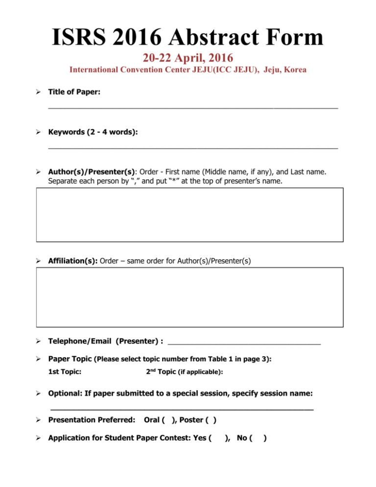
ISRS 2016 Abstract Form 20-22 April, 2016 International Convention Center JEJU(ICC JEJU), Jeju, Korea Title of Paper: ________________________________________________________________________ Keywords (2 - 4 words): ________________________________________________________________________ Author(s)/Presenter(s): Order - First name (Middle name, if any), and Last name. Separate each person by “,” and put “*” at the top of presenter’s name. Affiliation(s): Order – same order for Author(s)/Presenter(s) Telephone/Email (Presenter) : ______________________________________ Paper Topic (Please select topic number from Table 1 in page 3): 1st Topic: 2nd Topic (if applicable): Optional: If paper submitted to a special session, specify session name: ________________________________________________________ Presentation Preferred: Oral ( ), Poster ( ) Application for Student Paper Contest: Yes ( ), No ( ) ABSTRACT (300 words in one A4 sized sheet, no Figures and Tables) After filling out the form, save this PDF with a new file name and submit it from "SUBMIT ABSTRACT" page. If unsuccessful, send it to : ksrs@ksrs.or.kr Table 1 Selection for Subject Topic 1. Sensors and Platforms 2. Remote Sensing Applications 3. Method development and Image Processing 4. Geographical Information Sciences (GIS) 5. Global Navigation Satellite Systems (GNSS) 6. Education and other topics 1.1 Optical Sensor 1.2 Microwave Sensor 1.3 Satellite Platform 1.4 Airborne Platform 1.5 Unmanned Vehicle 1.6 Others 2.1 Land 2.2 Ocean 2.3 Atmosphere 2.4 Water resources 2.5 Food security 2.6 Climate Change 2.7 Public Health 2.8 Hazard Mitigation 2.9 Landslide 2.10 Earthquake 2.11 Fire 2.12 Volcano 2.13 Others 3.1 Data Fusion and Data Mining 3.2 Calibration 3.3 Registration 3.4 Classification 3.5 Feature Extraction 3.6 Photogrammetric Processing 3.7 DEM/3D modeling 3.8 Change Detection 3.9 Microwave Processing 3.10 Lidar Processing 3.11 SAR and InSAR Processing 3.12 Mobile Mapping 3.13 Others 4.1 Integration of Remote Sensing and GIS 4.2 Mobile GIS 4.3 Data quality and Spatial Data Standards 4.4 Data Interoperability 4.5 Social Media 4.6 Cloud Computing 4.7 Others 5.1 GNSS application 5.2 Indoor and Outdoor Navigation 5.3 Location-Based Service 5.4 Others 6.1 Capacity Building, Education, and Training 6.2 Outreach 6.3 Others
