Cruising the Virgin Islands - Fine Edge Nautical & Recreational
advertisement
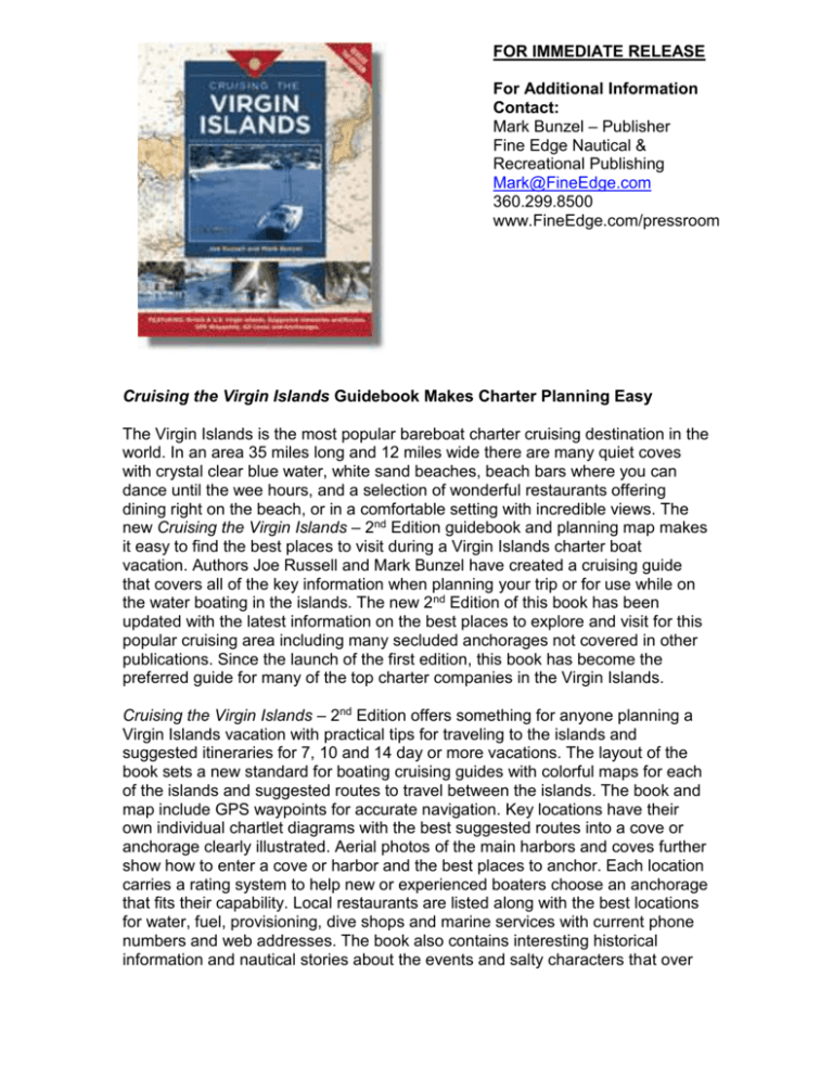
FOR IMMEDIATE RELEASE For Additional Information Contact: Mark Bunzel – Publisher Fine Edge Nautical & Recreational Publishing Mark@FineEdge.com 360.299.8500 www.FineEdge.com/pressroom Cruising the Virgin Islands Guidebook Makes Charter Planning Easy The Virgin Islands is the most popular bareboat charter cruising destination in the world. In an area 35 miles long and 12 miles wide there are many quiet coves with crystal clear blue water, white sand beaches, beach bars where you can dance until the wee hours, and a selection of wonderful restaurants offering dining right on the beach, or in a comfortable setting with incredible views. The new Cruising the Virgin Islands – 2nd Edition guidebook and planning map makes it easy to find the best places to visit during a Virgin Islands charter boat vacation. Authors Joe Russell and Mark Bunzel have created a cruising guide that covers all of the key information when planning your trip or for use while on the water boating in the islands. The new 2nd Edition of this book has been updated with the latest information on the best places to explore and visit for this popular cruising area including many secluded anchorages not covered in other publications. Since the launch of the first edition, this book has become the preferred guide for many of the top charter companies in the Virgin Islands. Cruising the Virgin Islands – 2nd Edition offers something for anyone planning a Virgin Islands vacation with practical tips for traveling to the islands and suggested itineraries for 7, 10 and 14 day or more vacations. The layout of the book sets a new standard for boating cruising guides with colorful maps for each of the islands and suggested routes to travel between the islands. The book and map include GPS waypoints for accurate navigation. Key locations have their own individual chartlet diagrams with the best suggested routes into a cove or anchorage clearly illustrated. Aerial photos of the main harbors and coves further show how to enter a cove or harbor and the best places to anchor. Each location carries a rating system to help new or experienced boaters choose an anchorage that fits their capability. Local restaurants are listed along with the best locations for water, fuel, provisioning, dive shops and marine services with current phone numbers and web addresses. The book also contains interesting historical information and nautical stories about the events and salty characters that over the years have made the Virgin Islands what they are today. If you are planning a Virgin Islands charter vacation, this is the book you want both before your trip and during your trip to guide you through this tropical paradise. Key Facts: Cruising the Virgin Islands – 2nd Edition Price: $39.95 By Joe Russell and Mark Bunzel 272 pages in color, with hundreds of color photos, diagrams, chartlets and aerial views of all of the main harbors, coves and anchorages throughout the U.S. and British Virgin Islands. The 8”x10” format book also contains practical tips for planning a trip, suggested itineraries, listing of restaurants and key marine services. The book illustrates suggested routes and GPS waypoints for navigation between the islands. Cruising the Virgin Islands Planning Map Price: $12.95 (folded) and $15.95 (rolled and laminated) The map opens to 17”x38” and is printed in color on waterproof paper with all of the main islands on the front page and the island of Anegada and aerial photos of 30 harbors on the back. This planning map shows all GPS waypoints and suggested routes between the islands along with suggested itineraries. A laminated version of the map is available for hanging on the wall in an office or den. Both the book and the map are available from FineEdge.com, Landfall Navigation, Bluewater Books, Armchair Sailor – Newport, Armchair Sailor – Seattle, Captains Nautical – Seattle, Seabreeze – San Diego, West Marine stores, Amazon.com and bareboat charter companies throughout the U.S. and British Virgin Islands. See www.CruisingTheVirginIslands.com for more information on the islands. For an electronic version of this press release, pictures of the authors and sample pictures from the book see www.FineEdge.com/pressroom Fine Edge Nautical and Recreational Publishing is the largest nautical publisher on the West Coast of the U.S. It publishes a line of 30 cruising guides, planning maps and marine how-to books covering the areas from San Diego to Southeast Alaska and the Virgin Islands. Many of its books are considered the standard guidebooks for cruising their areas. 14004 Biz Point Lane - Anacortes, WA 98221 - 360-299-8500 - Fax 360-299-0535 – www.FineEdge.com

