Hoddle Grid
advertisement
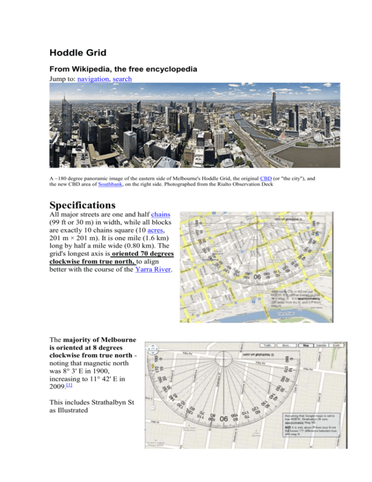
Hoddle Grid From Wikipedia, the free encyclopedia Jump to: navigation, search A ~180 degree panoramic image of the eastern side of Melbourne's Hoddle Grid, the original CBD (or "the city"), and the new CBD area of Southbank, on the right side. Photographed from the Rialto Observation Deck Specifications All major streets are one and half chains (99 ft or 30 m) in width, while all blocks are exactly 10 chains square (10 acres, 201 m × 201 m). It is one mile (1.6 km) long by half a mile wide (0.80 km). The grid's longest axis is oriented 70 degrees clockwise from true north, to align better with the course of the Yarra River. The majority of Melbourne is oriented at 8 degrees clockwise from true north noting that magnetic north was 8° 3' E in 1900, increasing to 11° 42' E in 2009.[1] This includes Strathalbyn St as Illustrated
