Earth`s Latitude Zones
advertisement
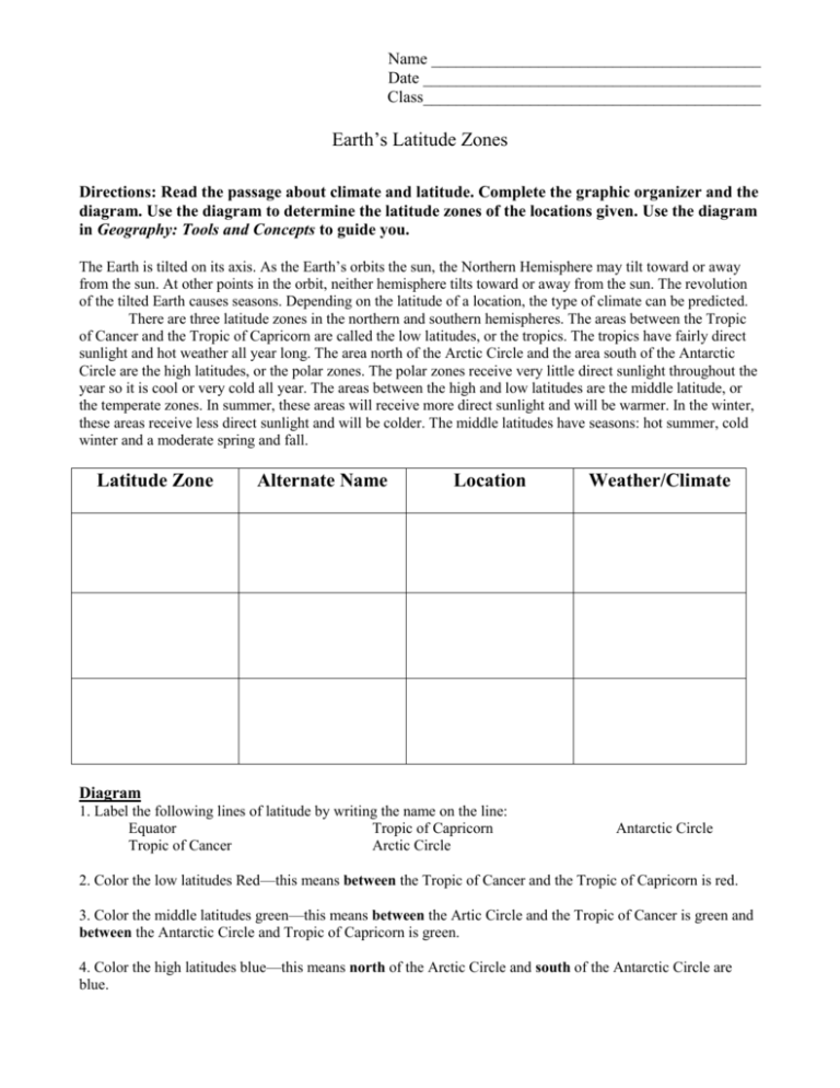
Name ________________________________________ Date _________________________________________ Class_________________________________________ Earth’s Latitude Zones Directions: Read the passage about climate and latitude. Complete the graphic organizer and the diagram. Use the diagram to determine the latitude zones of the locations given. Use the diagram in Geography: Tools and Concepts to guide you. The Earth is tilted on its axis. As the Earth’s orbits the sun, the Northern Hemisphere may tilt toward or away from the sun. At other points in the orbit, neither hemisphere tilts toward or away from the sun. The revolution of the tilted Earth causes seasons. Depending on the latitude of a location, the type of climate can be predicted. There are three latitude zones in the northern and southern hemispheres. The areas between the Tropic of Cancer and the Tropic of Capricorn are called the low latitudes, or the tropics. The tropics have fairly direct sunlight and hot weather all year long. The area north of the Arctic Circle and the area south of the Antarctic Circle are the high latitudes, or the polar zones. The polar zones receive very little direct sunlight throughout the year so it is cool or very cold all year. The areas between the high and low latitudes are the middle latitude, or the temperate zones. In summer, these areas will receive more direct sunlight and will be warmer. In the winter, these areas receive less direct sunlight and will be colder. The middle latitudes have seasons: hot summer, cold winter and a moderate spring and fall. Latitude Zone Alternate Name Location Weather/Climate Diagram 1. Label the following lines of latitude by writing the name on the line: Equator Tropic of Capricorn Tropic of Cancer Arctic Circle Antarctic Circle 2. Color the low latitudes Red—this means between the Tropic of Cancer and the Tropic of Capricorn is red. 3. Color the middle latitudes green—this means between the Artic Circle and the Tropic of Cancer is green and between the Antarctic Circle and Tropic of Capricorn is green. 4. Color the high latitudes blue—this means north of the Arctic Circle and south of the Antarctic Circle are blue. Name ________________________________________ Date _________________________________________ Class_________________________________________ Identifying Latitude Zones Answer the following questions based on latitude zones. 1. What is another name for high latitude zone? ____________________________________________ 2. What is another name for tropics? _____________________________________________________ 3. What is another name for middle latitude zones? _________________________________________ Given the information, identify which latitude zone each location is in and what the climate would most be like (warm year round, cold year round, or seasonal). 4. Washington, DC 39 N, 77 W _________________________________________________________ 5. Anchorage, Alaska 61 N, 150 W ______________________________________________________ 6. Chad, Africa 15 N, 18 E ____________________________________________________________ 7. Baffin Bay 74 N, 65 W _____________________________________________________________ 8. Campinas, Brazil 23 S, 47 W ________________________________________________________ 9. Argentina, South America 35 S, 65 W _________________________________________________ 10. Ross Ice Shelf 82 S, 180 E _________________________________________________________ 11. Mecca, Saudi Arabia 21 N, 40 E _____________________________________________________ 12. Cairo, Egypt 30 N, 31 E ___________________________________________________________ Name ________________________________________ Date _________________________________________ Class_________________________________________ Key: Low Latitudes Middle Latitudes High Latitudes Alternate Name
