080612-08EN068-Project Description-IMAE
advertisement
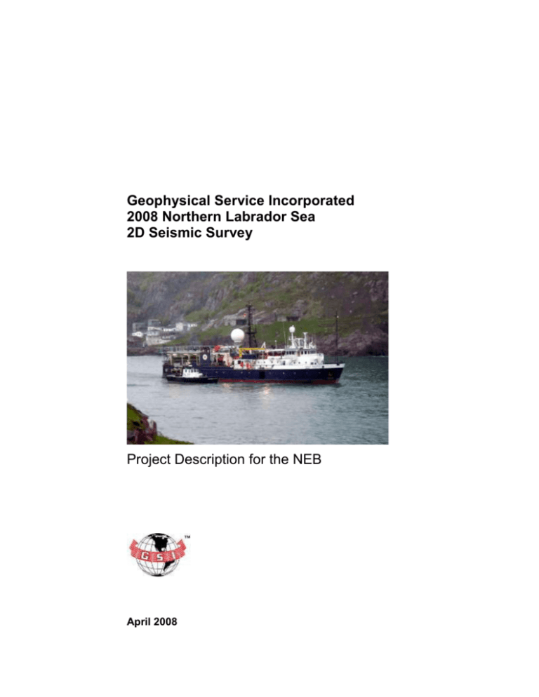
Geophysical Service Incorporated 2008 Northern Labrador Sea 2D Seismic Survey Project Description for the NEB April 2008 Proposed GSI 2008 Northern Labrador Sea 2D Seismic Survey Geophysical Service Incorporated (GSI) proposes to acquire approximately 5,768 km of seismic lines in the northern Labrador Sea north of 61o N, offshore from Nunavut, during the late summer or fall of 2008. These data are to be acquired within the period August to November. The location of these lines (see Figure 1, below) are within or adjacent to the lines approved by the NEB for acquisition in 2007 (though these lines were not subsequently acquired). The Nunavut Impact Review Board (NIRB) determined in 2007 that the lines proposed for that program did not fall within their area of jurisdiction as they were outside the Territorial Sea zone.) The 2008 area is immediately northward of, and adjacent to, the area assessed (through a Canadian Environmental Assessment Act screening) by the Canada-Newfoundland and Labrador Offshore Petroleum Board (C-NLOPB) for GSI’s 2-D Labrador Sea and Slope seismic survey for 2007 - 2009 (Canning & Pitt Inc and LGL Ltd 2007). The Labrador Offshore area is also contiguous with areas assessed (and projects approved) for previous GSI 2-D seismic surveys in recent years, and within the same temporal scope (June – November). The 2008 survey offshore Nunavut would also use the same ship and technologies as those approved by the NEB in 2007 (and assessed in the previous EAs). The area proposed for this current survey is also within the study area jointly assessed and approved by the NEB and the C-NLOPB for TGS-NOPEC’s 2002 Nunavut – Labrador slope 2-D seismic survey (Canning & Pitt Inc. 2002). The lines currently proposed do not introduce any new environmental issues or VECs not included in the other assessments noted above. Regulatory Context Geophysical programs (seismic surveys) in the jurisdiction proposed for this project require authorization from the NEB. The Canadian Environmental Assessment Act (CEAA) requires federal authorities to conduct environmental assessments (EAs) before issuing regulatory permits for certain projects (Section 5(1)d). The NEB is a federal authority as defined under the CEAA. Because seismic surveys are included in the Inclusion List Regulations but are not in the Comprehensive Study List Regulations (SOR/94-638 et seq.), the CEAA requires that the responsible authority "ensure that (a) a screening of the project is conducted; and (b) a screening report is prepared" (Section 18(1)). The lines are not located within the Nunavut Settlement Area as defined in the Nunavut Land Claims Agreement (NLCA) (Agreement between the Inuit of the Nunavut GSI Northern Labrador Sea Survey Program 2008 1 Settlement Area and Her Majesty the Queen in Right of Canada, 1993, given force federally by the Nunavut Land Claims Agreement Act, 1993, c. 29); i.e. they are outside 12 Nautical Miles from any coast or island. They are not near the Baffin Land fast Ice area. Figure 1: location of proposed GSI survey lines north of 61 o N in the Northern Labrador Sea. GSI Northern Labrador Sea Survey Program 2008 2 Project Location and Scale The work proposed is the acquisition of 5,767.8 km of seismic data, as shown in Figure 1. The lines are situated between 61o N latitude and approximately 63 o N, and between 64 30 W and 58 00 W. The survey programs will not enter the Nunavut Settlement Area as defined in the Nunavut Land Claims Agreement (NLCA), and are within Canada’s Exclusive Economic Zone (EEZ). Schedule / Timing The acquisition is expected to occur between mid July and November 2008. This is within the temporal scope of the previous GSI Labrador Sea EAs.This timeframe will allow a sufficient "window" to allow scheduling to minimize environmental impacts and potential conflicts with fishing activities, as well as sea ice and other factors. The timing of specific portions of the survey area will be conducted in light of fisheries, research surveys and other considerations, in order to prevent possible conflicts. Project Components There are three main project components. All are the same as for the program authorized in 2007: 1. the survey ship (the GSI Pacific) 2. the survey streamer (a 6-km long passive "listening" device, containing hydrophones, which floats approx. 9 m below the sea surface) 3. a compressed air sound source ( a 3,180 cu inch array). Survey Vessel. The vessel to be used, the GSI Pacific call sign HO4496, is fully equipped to conduct the proposed seismic program, and will have on board appropriate environmental protection equipment or systems. Its length over-all (LOA) is 56.3m, and it has a draft of 4.2 m.The same ship conducted the GSI Labrador Sea surveys successfully in 2005 and 2006. It is expected that the vessel will travel at a speed of about 5.0 kts (approx. 9 km/hr) while surveying. Streamer. The survey will use a single streamer (towed behind the vessel containing the hydrophones which record the sound impulses) 6,000 m in length, towed at a depth of 10m (+/- 1m). The streamer will be marked at the end by a tail buoy with GPS positioning devices, a strobe light, and radar reflectors. Distance from the stern of the vessel to the tail buoy will be approximately 6,200 m based on the planned near trace offset, tail stretch and tail rope length. GSI Northern Labrador Sea Survey Program 2008 3 Source Array. Characteristics of the array for the survey are provided in the following Table; Figure 2 shows the signature (amplitude over time) of the downward pulse (lobe) of the full array. Figure 3 shows the amplitude of the frequencies that make up the sound pulse (downward lobe). Figure 4 shows the array configuration. Table 1: GSI Pacific 3180 Sound Source Array Characteristics Source (Array) Depth 6 meters from surface to source port Array size (cu in) 3180 cubic inch (52.11 liter) PSI 2000 PSI nominal pressure (13.8 MegaPa.) Configuration 2 x 1590 cu. In. strings (see Figure 2.4) Rise Time 6 ms Record length 8 seconds Sound pulse interval (between pulses) Cycle period minimum 9 sec / nominal 10 sec Time Domain: Sound Levels - Downward Lobe p-p Bar re 1m 95.4 zero--p Bar re 1m 46.6 RMS Bar re 1m 33.0 RMS dB re 1Pa/Hz 205 Time Domain: Sound Levels – Crossline (10o, 30o, 45o and 90o from horizontal) 205 RMS dB re 1Pa/Hz @ 1m @ 90 deg RMS dB re 1Pa/Hz @ 1m @ 45 deg 201 RMS dB re 1Pa/Hz @ 1m @ 30 deg 202 RMS dB re 1Pa/Hz @ 1m @ 10 deg 200 Time Domain: Sound Levels – Inline (10o, 30o, 45o and 90o from horizontal) 205 RMS dB re 1Pa/Hz @ 1m @ 90 deg RMS dB re 1Pa/Hz @ 1m @ 45 deg 200 RMS dB re 1Pa/Hz @ 1m @ 30 deg 198 RMS dB re 1Pa/Hz @ 1m @ 10 deg 194 GSI Northern Labrador Sea Survey Program 2008 4 Figure 2: 3180 Array Signature, Amplitude Over Time, 0o Azimuth, 0o from Vertical Figure 3: 3180 Array Signature, Amplitude at Frequency, 0o Azimuth, 0o from Vertical GSI Northern Labrador Sea Survey Program 2008 5 Figure 4: Array Configuration (2 Strings X 1590 cu in) Off-site Land Use & Resource / Material Requirements Off -site uses is expected to consist of wharf facilities at St. John's or Holyrood, NL, and possibly St. Anthony NL for crew changes, any needed repairs, and provisioning. Materials are normal ship supplies, fuel, provisions. Toxic / Hazardous Materials to be Used The planned streamer uses Isopar, for buoyancy. Isopar is liquid paraffin, evaporates very quickly, and is biodegradable. Discharges and Waste Disposal The GSI Pacific will comply with all applicable regulations concerning discharges of materials into the marine environment. The ship is outfitted with equipment to prevent and/or deal with any accidental spills. It has in place a shipboard oil pollution emergency plan (SOPEP) in conformity with the International Maritime Organization (IMO) and approved by the Det Norske Veritas GSI Northern Labrador Sea Survey Program 2008 6 (DNV) Classification AS on behalf of the Government of Canada. The ship’s International Oil Pollution Prevention (IOPP) equipment includes a bilge / oily water separator (World Water System, 1.1 gpm), oily water / sludge holding tanks (cap. 12,000 litres), oil spill absorbent / damage control (powersorb spill kit/safe send salvage drum). GSI also follows the International standards contained in Marpol 73/78. This deals with handling different types of waste and specifies the distances from land and the manner in which materials may be disposed. The requirements are strict in many areas; one of the most important features of the Annex is the complete ban imposed on the dumping into the sea of all forms of plastic, which protect marine animals, especially sea turtles which often ingest this material. Consultations and Issues Identified Consultations were undertaken with fishers, relevant fisher organizations (Labrador Sea) and DFO in 2003, 2004, 2005, 2006 and 2007 to exchange information on the survey and fisheries, and to identify and scope issues for the environmental assessment for the various Labrador Sea projects. Contact with the Nunavut Impact Review Board (NIRB) will be made to provide details of the proposed survey. The chief issues raised by fishers in the past were about the impacts of marine seismic surveys in general, rather than about the GSI programs. These include impacts on fisheries resources, and both behavioural and physical impacts on fish, especially as they pertain to "catchability". As in previous surveys, fishers were also concerned about conflict / interference with fixed gear fisheries in particular. DFO has raised concerns about documenting marine mammals and avoiding interference with research surveys. Species at Risk Act Species Based on an initial review of the proposed area (and the Labrador Sea survey area to the south), the following species at risk (based on SARA Schedule 1) might occasionally be in or near the area: Endangered North Atlantic Right Whale (Eubalaena glacialis) Atlantic Ocean Population Blue whale (Balaenoptera musculus) Atlantic Ocean Population Leatherback Turtle (Dermochelys coriacea) Atlantic Ocean Eskimo Curlew (Numenius borealis) Threatened Northern Wolffish (Anarhichas denticulatus) Arctic and Atlantic Oceans Spotted Wolffish (Anarhichas minor) Arctic and Atlantic Oceans GSI Northern Labrador Sea Survey Program 2008 7 Peregrine Falcon (Falco peregrinus anatum) Special Concern Atlantic Wolffish (Anarhichas lupus) North Atlantic Ocean Harlequin Duck (Histrionicus histrionicus) Eastern Population Ivory Gull (Pagophila eburnea) Project Contacts Darlene Davis Geophysical Service Incorporated PO Box 2727 Windsor, Nova Scotia Tel: (902) 798-1305 Fax: (902) 798-4205 E-mail: darlenedavisgsi@eastlink.ca or gsiwindsor@eastlink.ca Rob Pitt Canning & Pitt Associates Inc. St. John’s, Newfoundland and Labrador Tel: (709) 753-9499 Fax: (709) 753-4471 E-mail: rpitt@canpitt.ca GSI Northern Labrador Sea Survey Program 2008 8
