Information
advertisement
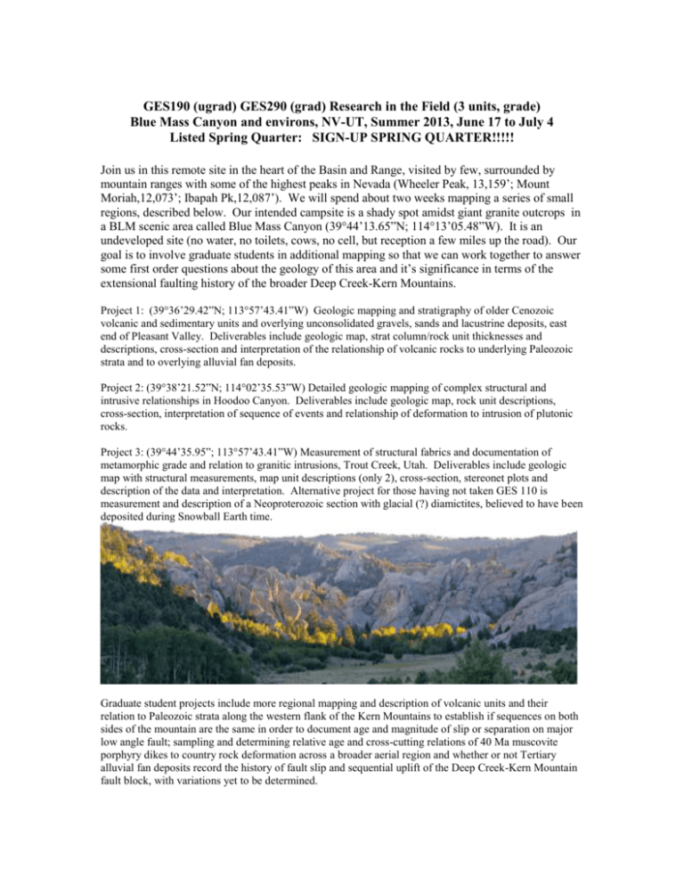
GES190 (ugrad) GES290 (grad) Research in the Field (3 units, grade) Blue Mass Canyon and environs, NV-UT, Summer 2013, June 17 to July 4 Listed Spring Quarter: SIGN-UP SPRING QUARTER!!!!! Join us in this remote site in the heart of the Basin and Range, visited by few, surrounded by mountain ranges with some of the highest peaks in Nevada (Wheeler Peak, 13,159’; Mount Moriah,12,073’; Ibapah Pk,12,087’). We will spend about two weeks mapping a series of small regions, described below. Our intended campsite is a shady spot amidst giant granite outcrops in a BLM scenic area called Blue Mass Canyon (39°44’13.65”N; 114°13’05.48”W). It is an undeveloped site (no water, no toilets, cows, no cell, but reception a few miles up the road). Our goal is to involve graduate students in additional mapping so that we can work together to answer some first order questions about the geology of this area and it’s significance in terms of the extensional faulting history of the broader Deep Creek-Kern Mountains. Project 1: (39°36’29.42”N; 113°57’43.41”W) Geologic mapping and stratigraphy of older Cenozoic volcanic and sedimentary units and overlying unconsolidated gravels, sands and lacustrine deposits, east end of Pleasant Valley. Deliverables include geologic map, strat column/rock unit thicknesses and descriptions, cross-section and interpretation of the relationship of volcanic rocks to underlying Paleozoic strata and to overlying alluvial fan deposits. Project 2: (39°38’21.52”N; 114°02’35.53”W) Detailed geologic mapping of complex structural and intrusive relationships in Hoodoo Canyon. Deliverables include geologic map, rock unit descriptions, cross-section, interpretation of sequence of events and relationship of deformation to intrusion of plutonic rocks. Project 3: (39°44’35.95”; 113°57’43.41”W) Measurement of structural fabrics and documentation of metamorphic grade and relation to granitic intrusions, Trout Creek, Utah. Deliverables include geologic map with structural measurements, map unit descriptions (only 2), cross-section, stereonet plots and description of the data and interpretation. Alternative project for those having not taken GES 110 is measurement and description of a Neoproterozoic section with glacial (?) diamictites, believed to have been deposited during Snowball Earth time. Graduate student projects include more regional mapping and description of volcanic units and their relation to Paleozoic strata along the western flank of the Kern Mountains to establish if sequences on both sides of the mountain are the same in order to document age and magnitude of slip or separation on major low angle fault; sampling and determining relative age and cross-cutting relations of 40 Ma muscovite porphyry dikes to country rock deformation across a broader aerial region and whether or not Tertiary alluvial fan deposits record the history of fault slip and sequential uplift of the Deep Creek-Kern Mountain fault block, with variations yet to be determined.

