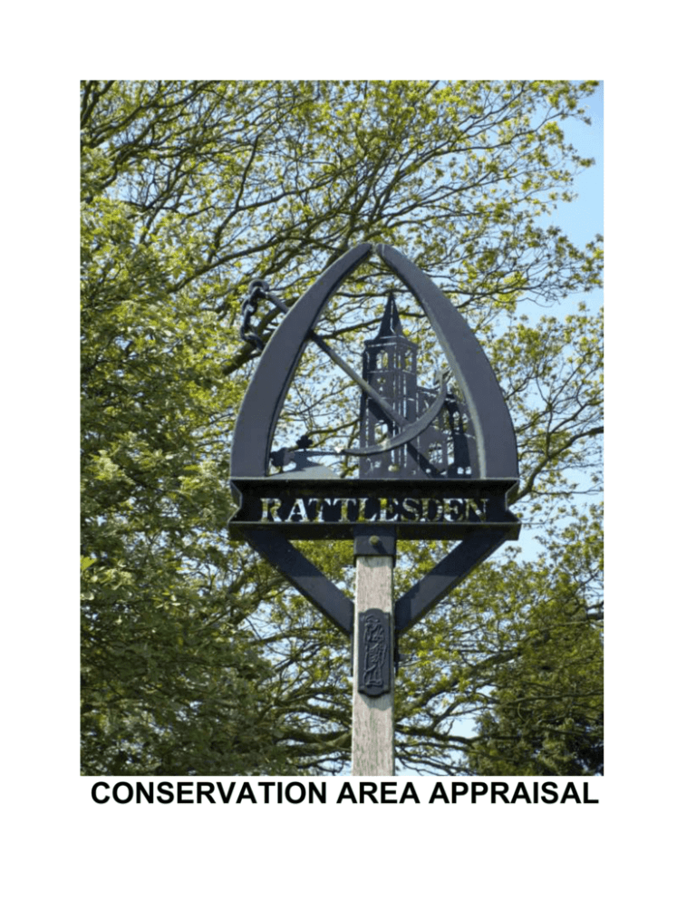
CONSERVATION AREA APPRAISAL
© Crown copyright All Rights Reserved M S D C Licence no 100017810 2010
INTRODUCTION
The conservation area in Rattlesden was
originally designated by West Suffolk
County Council in the early 1970's and
inherited by the newly formed Mid Suffolk
District Council at its inception in 1974. The
conservation area was last appraised and
extended by Mid Suffolk District Council in
2000.
The Council has a duty to review its
conservation area designations from time to
time, and this appraisal examines
Rattlesden under a number of different
headings as set out in English Heritage’s
‘Guidance
on
Conservation
Area
Appraisals’ (2006).
As such it is a straightforward appraisal of
Rattlesden’s
built
environment
in
conservation terms.
This document is neither prescriptive nor
overly
descriptive,
but
more
a
demonstration of ‘quality of place’, sufficient
for the briefing of the Planning Officer when
assessing proposed works in the area. The
photographs and maps are thus intended to
contribute as much as the text itself.
View from SW
As the English Heritage guidelines point
out, the appraisal is to be read as a general
overview, rather than as a comprehensive
listing, and the omission of any particular
building, feature or space does not imply
that it is of no interest in conservation
terms.
Text, photographs and map overlays by
Patrick Taylor, Conservation Architect, Mid
Suffolk District Council 2010.
Bird’s Green
© Crown copyright All Rights Reserved M S D C Licence no 100017810 2010
TOPOGRAPHICAL FRAMEWORK
Rattlesden is a large spread out village in
central Suffolk centred around the valley of
the Rattlesden River, which flows
eastwards to join the River Gipping at
Stowmarket, before continuing southeastwards to Ipswich and the sea.
The broad flat bottomed valley is cut down
through the overlying clays of 'High'
Suffolk's Till plain, towards the underlying
chalk, and is now filled with more recent
alluvial deposits.
One section of undeveloped valley to the
west is included in the conservation area,
but lies outside the village's settlement
boundary.
Until the coming of the Stowmarket
Navigation in 1789, the Rattlesden River
was not a mere tributary, but rather the
main watercourse, as was witnessed in the
Middle Ages by the unloading at Rattlesden
of Caen stone, bound for the building of the
Abbey at Bury St Edmunds.
Aerial Photograph
Although now tucked away from any major
route, Rattlesden was also at one time
much better placed in terms of overland
transport. To the north and south of the
village there are remains of a Roman road,
more recently known as the Peddar's Way,
which continues from here north-westwards
across Norfolk to the Wash.
Extract from OS Map
© Crown copyright All Rights Reserved M S D C Licence no 100017810 2010
ARCHAEOLOGICAL SIGNIFICANCE
Although Rattlesden was probably an
important crossing point in Roman times, its
history goes back much further.
The
Suffolk County Historic Environment
Record lists finds from the wider parish that
include a Neolithic flint axe and a Bronze
Age axe and bronze dagger.
More recent finds include Saxon remains,
Medieval pottery, a statuette of St John and
a 13th Century lead seal. The record
includes only the Medieval Church within
the built-up area, but doubtless further
archaeology remains there beneath the
mainly timber-framed settlement.
The Domesday survey of 1086 lists a
church with 24 acres of land. The main
manor is believed to have been sited near
the present Rattlesden Hall, a 17th Century
farmhouse.
There were several submanors around the parish, including
Stonhams, Thurmodes, Wood Hall and
Clopton Hall.
Church of St Nicholas
These last two, situated east and north of
the village respectively, are among the half
dozen or so Medieval moated sites that
remain in the parish, another being at
Edgar's Farm just south of the village.
Extract from Domesday
© Crown copyright All Rights Reserved M S D C Licence no 100017810 2010
QUALITY OF BUILDINGS
Clopton Hall is one of four buildings in the
parish described by Pevsner. It is a grade
II listed late 16th Century timber-framed
house later remodelled with Doric pilasters,
a segmental pediment and chimneys dated
1681. Unsightly additions to the porch have
recently been removed.
Most of the parish's other grade II listed
buildings are similarly timber-framed and
plastered, many still with thatched roofs,
such as occur in abundance on the north
side of Bird’s Green leading to Workhouse
Lane.
Pevsner also mentions the grade II listed
derelict tower mill of 1840 off Brettenham
Road as well as Church Cottage, the
village's only grade II* building, which was
an open hall house dating from the mid-15th
Century, sometime known as the Old Moot
House. The latter’s date, position adjoining
the churchyard and general form suggest it
may have been the village’s Church House,
or Gild Hall.
Clopton Hall
Pevsner’s main interest, however, is the
Church of St Nicholas which he describes
as 'Quite big with a Dec W tower'. The
Church is grade I listed, has several 13th
Century features, and was much rebuilt in
the 14th Century. The nave has a double
hammerbeam roof and the tower a shingled
broach spire.
Old Moot House
White Brick and Slate
Flint and White Brick
Render and Thatch
Red Brick and Slate
TRADITIONAL MATERIALS
Like many Suffolk villages, Rattlesden has
layers of different local building materials
collected over the years.
The oldest surviving building, the church, is
in flint with a plaintile roof. The older
houses are for the most part timber-framed
and rendered all over in the Suffolk
tradition, a large proportion of these
surviving with thatched roofs.
One timber-framed building, the former
open hall Church Cottage, has exposed
timber-framing and a plaintile roof.
The 18th and 19th Centuries brought with
them a preference for brickwork, generally
the local Suffolk soft reds, but here and
there can be found examples of Suffolk
whites, probably from nearby Woolpit.
These buildings are more often roofed in
slate, plaintiles or pantiles.
Pargetting
The open nature of the settlement has
meant that in recent years a good deal of
infilling has taken place. This has for the
most part been complementary in render
and bricks, with tiled roofs. The bricks used
are not usually local but reasonably
matching in colour, whilst the newer roofs in
bright red clay pantiles will tone down in
time.
Rendered Brick and Slate
© Crown copyright All Rights Reserved M S D C Licence no 100017810 2010
HIERARCHY OF SPACES
Rattlesden has a fairly spread out centre; it
is not crammed tightly into its river valley as
this is fairly flat bottomed and probably
prone to local flooding.
The settlement is thus to be found mostly
on the valley sides, allowing broad views
across the wet valley in the centre.
Along the length of Lower Street the road
and river wind together from west to east
down the valley, changing places just below
the church. High Street runs parallel on the
northern side for most of the length of the
main village passing above the church.
The village does not anywhere achieve the
tight urban feel of an old settlement. A
short section of High Street just west of the
Church does have buildings facing each
other across the street, but they are well
spaced out and one side is higher up the
hill than the other.
Path beside Churchyard
Elsewhere the entrance to Bird’s Green and
Workhouse Lane is squeezed between
buildings but opens out beyond, one side a
picture postcard row of thatched cottages
right on the street, the other a modern
development of bungalows fortunately set
well back.
Basically Rattlesden's broad valley has
never been pushed for space.
Bird’s Green
© Crown copyright All Rights Reserved M S D C Licence no 100017810 2010
TREES AND PLANTING
The main green spaces in Rattlesden are
the local playing field in the lower end of the
valley at the east end of the village, and the
large wet meadow area below the church,
currently kept as pasture for horses.
The church sits up high overlooking this
with a backdrop of trees in the garden of
the former rectory off High Street. Here can
be found specimens of Yew, Corsican Pine,
Cypress
and
a
much
truncated
Wellingtonia.
The only other places with significant
numbers of trees are the new cemetery at
the north-east end of the village and the
garden of Glebe House up the hill from
Workhouse Lane.
In the former there are specimens of Oak,
Sycamore, Horse Chestnut, Lime and
Cypress whilst in the latter there is the
same mix but with Holm Oak and Yew as
well.
Churchyard Trees
There are but two Tree Preservation Orders
in the parish. One was on land adjoining
the Old Rectory in Upper Street, now built
on: the six Elms were lost in the 1970's,
whilst the remaining Oak fell in the great
storm of 1987. The other is the relatively
new TPO no. 248 on eight Oaks, three
Ashes and three Scots Pines at the outlying
hamlet of Poystreet Green.
Green below Cemetery
© Crown copyright All Rights Reserved M S D C Licence no 100017810 2010
COUNTRYSIDE ACCESS
Beyond the settled valley side the land
levels out into the open farmland of 'High
Suffolk', through which a good many
footpaths radiate from the village.
The south-west section is covered by
definitive paths FP 21, 22 and 23, which
start near the Baptist Chapel at the west
end of Lower Street; the north-east and
east are covered by FP 31, 32 and 33,
which start near the corner of Workhouse
Lane. In addition to these, FP 20 goes off
north-westwards from the church midway
along High Street, whilst from midway along
Lower Street FP 29 heads off southwards
towards Poystreet Green.
High Street and Lower Street are linked
near the middle of the village by a footway
passing south of the churchyard.
Rattlesden's open centre, with pasture
adjoining the church, and such good
accessibility by footpath make it very much
part of the countryside.
Start of Footpath 29
The village's past was indeed mainly
agricultural, records showing it as having
been occupied mainly by yeomen in the
early 17th Century.
Water Meadow below Church
© Crown copyright All Rights Reserved M S D C Licence no 100017810 2010
PREVAILING AND FORMER USAGE
At one time the village had its very own
workhouse, not in Workhouse Lane as
might be expected, but on High Street near
the church, in the house now known as
Goldmartin. In 1776 it had 26 inmates.
Mill Hill, just north of the village near the
Roman road, was the site of a post mill and
later a tower mill, now gone. The listed
derelict tower mill to the south-west of the
village off the Brettenham road, replaced an
earlier smock mill a little to the north, the
remains of which form the footings for the
power mill that replaced them both.
The tithe apportionment records of 1841
give illustrative field names within the parish
such as Hop Ground and Malting Field or
Gravel Pit Field and even one called
'Round the Groan'. Directory entries from
1844 paint a similar picture of a village
agricultural economy with 32 farmers, a
harness maker, 3 blacksmiths, a corn miller
and 3 malsters amongst those present.
Derelict Tower Mill
There was a brick kiln near the Felsham
parish boundary and within the village
proper a Smithy and Wheelwright's shop.
Apart from the already mentioned
redundant transport links by river and road,
Rattlesden also at one time had its own
airfield in the south-west corner of the
parish; formerly used by the Americans in
World War II, it was returned to agriculture
in the 1960's.
Former Shop
LOSSES AND POSSIBLE GAINS
The open nature of Rattlesden's pattern of
settlement has unfortunately left it very
vulnerable to the detractions of modern infill
developments. The estate of bungalows at
St Nicholas Close to the south could be
improved by better planting and screening
along its frontage.
Elsewhere on some of the unlisted
buildings non-traditional uPVC windows
have been installed, often resulting in
glazing patterns with odd proportions.
At a number of points in the village
overhead wiring is rather intrusive, whilst in
other places it is totally absent.
St Nicholas Close
uPVC Window
Overhead Wiring
REFERENCES & FURTHER READING
Chatwin, C P 1961 East Anglia and
Adjoining Areas British Regional Geology
HMSO
English Heritage 2006 Guidance on
Conservation Area Appraisals HMSO
Flint, B 1979 Suffolk Windmills Boydell
D.C.L.G., D.C.M.S. & English Heritage
2010 Planning Policy Statement: Planning
for the Historic Environment (PPS 5) TSO
D.o.E. 1988 List of Buildings of Special
Architectural or Historic Interest: District of
Mid Suffolk: Parishes of ....Rattlesden....
Domesday Book 1986 Suffolk Phillimore
Dymond, D & Martin, E (eds) 1988 An
Historical Atlas of Suffolk Suffolk County
Council
English Heritage 1995 Conservation Area
Practice HMSO
Goult, W 1990 A Survey of Suffolk Parish
History Suffolk County Council
Pevsner, N
1976
The Buildings of
England: Suffolk Penguin
Rattlesden Parish Council et al
2006
Rattlesden Village Design Statement
Suffolk County Council 2009
Environment Record: Rattlesden
Tithe Map & Apportionment
Rattlesden Suffolk Records Office
Historic
1841
The maps in this document are based upon Ordnance Survey material with the permission of
Ordnance Survey on behalf of the Controller of Her Majesty’s Stationery Office.
Unauthorised reproduction infringes Crown copyright and may lead to prosecution or civil
proceedings. M S D C Licence no 100017810 2010


