Field Methods in Geology - Wayland Baptist University
advertisement
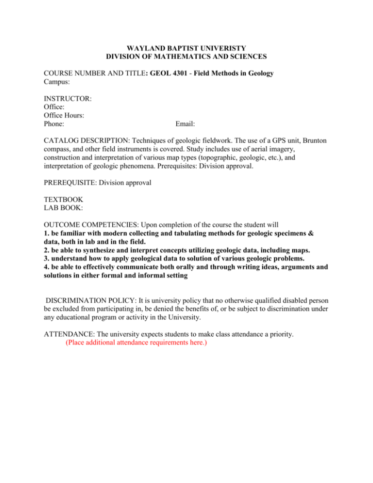
WAYLAND BAPTIST UNIVERISTY DIVISION OF MATHEMATICS AND SCIENCES COURSE NUMBER AND TITLE: GEOL 4301 - Field Methods in Geology Campus: INSTRUCTOR: Office: Office Hours: Phone: Email: CATALOG DESCRIPTION: Techniques of geologic fieldwork. The use of a GPS unit, Brunton compass, and other field instruments is covered. Study includes use of aerial imagery, construction and interpretation of various map types (topographic, geologic, etc.), and interpretation of geologic phenomena. Prerequisites: Division approval. PREREQUISITE: Division approval TEXTBOOK LAB BOOK: OUTCOME COMPETENCIES: Upon completion of the course the student will 1. be familiar with modern collecting and tabulating methods for geologic specimens & data, both in lab and in the field. 2. be able to synthesize and interpret concepts utilizing geologic data, including maps. 3. understand how to apply geological data to solution of various geologic problems. 4. be able to effectively communicate both orally and through writing ideas, arguments and solutions in either formal and informal setting DISCRIMINATION POLICY: It is university policy that no otherwise qualified disabled person be excluded from participating in, be denied the benefits of, or be subject to discrimination under any educational program or activity in the University. ATTENDANCE: The university expects students to make class attendance a priority. (Place additional attendance requirements here.) Field Methods in Geology COURSE REQUIREMENTS: Students will be evaluated by examinations, quizzes and lab activities, etc. as described in this syllabus under the heading “Evaluation”. EVALUATION: University Grading System: A=90-100, B=80-89, C=70-79, D=60-69, F=below 60. The final class grade will be based on the average of grades that are earned as listed below. (Place test/quiz/lab grade values used and schedule here.) COURSE OUTLINE (Actual dates & book chapters may be included.) ______Subject 1 Introduction 2 Field Equipment 3. Base maps & grid systems 3 Topographic maps and profiles 4 Use of Brunton Compass for field measurements 5 Geologic Maps and Cross Sections 6 Creating Geologic Maps and Cross Sections 1 7 Field Notes, Location Maps 8 Field measurements for Geologic Maps 9 Creating Geologic Maps and Cross Sections 2 10 Variations: Mapping Igneous Rocks, Sedimentary Structures 11 Geologic Report Writing This outline and other syllabus items are subject to change at university or instructor discretion.


