Geology Topographic Map Lab
advertisement
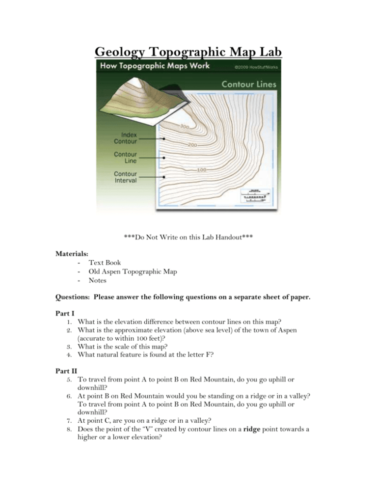
Geology Topographic Map Lab ***Do Not Write on this Lab Handout*** Materials: - Text Book - Old Aspen Topographic Map - Notes Questions: Please answer the following questions on a separate sheet of paper. Part I 1. What is the elevation difference between contour lines on this map? 2. What is the approximate elevation (above sea level) of the town of Aspen (accurate to within 100 feet)? 3. What is the scale of this map? 4. What natural feature is found at the letter F? Part II 5. To travel from point A to point B on Red Mountain, do you go uphill or downhill? 6. At point B on Red Mountain would you be standing on a ridge or in a valley? To travel from point A to point B on Red Mountain, do you go uphill or downhill? 7. At point C, are you on a ridge or in a valley? 8. Does the point of the “V” created by contour lines on a ridge point towards a higher or a lower elevation? 9. Does the point of the “V” created by contour lines in a valley point towards a higher or lower elevation? Part III 10. Do rivers follow ridges or valleys? Which way does the point of the “V” made by contour lines point at a river? (upstream or downstream?) Can you find any exceptions on Red Mountain? 11. Assume you are standing at Franklin Shaft. a. Can you see Pioneer Gulch from where you are standing (assume that trees are not blocking your view)? b. Can you see the Aspen Shaft entrance? c. Can you see the building at the Veteran Tunnel? 12. Is Schiller Shaft on a ridge or in a valley? 13. Is Aspen Shaft on a ridge or in a valley? a. What is the elevation of Schiller Shaft? b. What is the elevation of Franklin Shaft? 14. You are hiking up Spar Gulch and are at point A. Which hill is steeper, the one to your right or to your left?


