Answers
advertisement
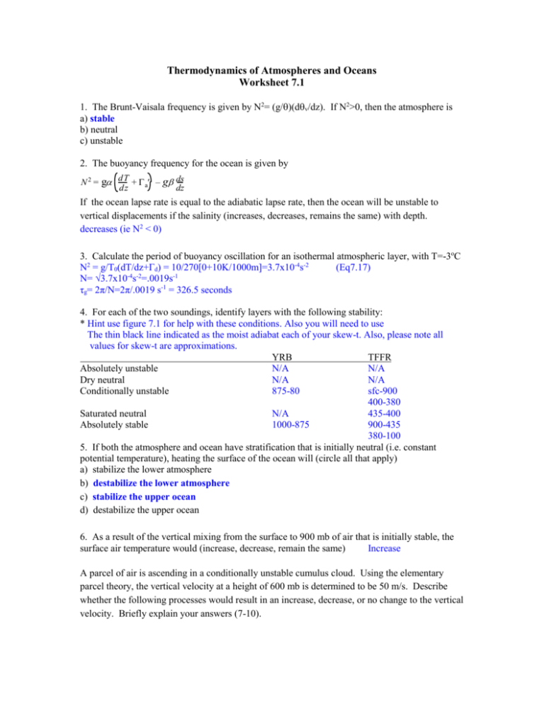
Thermodynamics of Atmospheres and Oceans Worksheet 7.1 1. The Brunt-Vaisala frequency is given by N2= (g/)(dv/dz). If N2>0, then the atmosphere is a) stable b) neutral c) unstable 2. The buoyancy frequency for the ocean is given by N 2 = g dT + – g ds dz a dz If the ocean lapse rate is equal to the adiabatic lapse rate, then the ocean will be unstable to vertical displacements if the salinity (increases, decreases, remains the same) with depth. decreases (ie N2 < 0) 3. Calculate the period of buoyancy oscillation for an isothermal atmospheric layer, with T=-3oC N2 = g/T0(dT/dz+Γd) = 10/270[0+10K/1000m]=3.7x10-4s-2 (Eq7.17) N= √3.7x10⁻⁴s-2=.0019s-1 τg= 2π/N=2π/.0019 s-1 = 326.5 seconds 4. For each of the two soundings, identify layers with the following stability: * Hint use figure 7.1 for help with these conditions. Also you will need to use The thin black line indicated as the moist adiabat each of your skew-t. Also, please note all values for skew-t are approximations. YRB TFFR Absolutely unstable N/A N/A Dry neutral N/A N/A Conditionally unstable 875-80 sfc-900 400-380 Saturated neutral N/A 435-400 Absolutely stable 1000-875 900-435 380-100 5. If both the atmosphere and ocean have stratification that is initially neutral (i.e. constant potential temperature), heating the surface of the ocean will (circle all that apply) a) stabilize the lower atmosphere b) destabilize the lower atmosphere c) stabilize the upper ocean d) destabilize the upper ocean 6. As a result of the vertical mixing from the surface to 900 mb of air that is initially stable, the surface air temperature would (increase, decrease, remain the same) Increase A parcel of air is ascending in a conditionally unstable cumulus cloud. Using the elementary parcel theory, the vertical velocity at a height of 600 mb is determined to be 50 m/s. Describe whether the following processes would result in an increase, decrease, or no change to the vertical velocity. Briefly explain your answers (7-10). 7. lateral entrainment of environmental air. Decrease – mixing with cooler environmental air makes parcel denser 8. radiative cooling at cloud top. Increase – the density variance created accelerates the less dense parcel 9. Compensating downdrafts in the environment Decrease – downdraft creates an opposing force which slows the upward velocity 10. Water drops remain in cloud Decrease – the water increases the density of the parcel Describe how the stability of an initially stable (cloud-free) layer extending from the surface to 800 mb is modified by the following processes (increase, decrease, remain the same) *Note here, the stable layer can be thought of as a stably stratified layer; you have colder air sitting below warmer air (like an inversion) 11. Surface heating. Decrease - this will make the lower layer warmer creating a more unstable profile 12. Radiative cooling at the top of the layer Decrease - if you have a stable profile with warmer air on top of colder air then radiative cooling of the top layer will make the top layer less warm such that the stability decreases. 13. Warm air advection in the upper portion of the layer. Increase – warming the top layer will cause the stability to increase because now our layer is even more stably stratified (ie warmer air on top of cold air this will not create any overturning. In order to get overturning cold air (with a tendency to sink) must be on top of warm air. 14. Widespread lifting. Decrease 15. Vertical mixing If you mix the upper level warm air with lower level cold air, this will decrease your stability 16. Determine the following for each sounding (refer to parcel line on the chart, as well as the text on right of chart) TBW TFFR lifting condensation level (LCL) 960mb 890mb level of free convection (LFC) 900mb 660mb level of neutral buoyancy (LNB) 110mb 380mb 17. Read off the following from the list to the right of the diagram CAPE TBW TFFR 1780 8.18 Showalter index (SHOW) 1.09 5.46 Lifted Index (LIFT) -3.41 1.55 Sweat Index (SWET) 330.0 153.2 Totals Index (TOTL) 42.80 37.60 K Index (KINX) 31.50 16.90 18.,Make forecasts regarding severe weather for TBW and TFFR. Which location should expect the severest weather? Why? TBW has a high probability of experiencing thunderstorms while TFFR is likely to receive calm conditions. TBW has a much higher capacity for severe weather than TFFR as indicated by the SWEAT (SWET), CAPE, and LIFT indices. Consider the following scenarios as applied (each) to the BRO and LIX soundings 19. A parcel of air is forced to ascend over a mountain that is 200 mb high. Assuming that any water that is condensed falls out as rain, what will happen to this parcel of air if it is advected beyond the top of the mountain at 800 mb (i.e. it is no longer subject to mechanical lifting). Estimate the final temperature and mixing ratio of the parcel after it has come to rest at an equlibrium position on the other side of the mountain. Will a cloud exist on the other side of the mountain as a result? if so, what is the estimated cloud base and cloud top?? We will solve this problem explicitly for TFFR. You can take these processes to infer how to solve this same case for TBW. First, we begin from the surface (1000mb mv~16g/kg T~26°C, and ws~20.8). Lift the parcel dry adiabatically until the saturation mixing ratio reaches the mixing ratio. Now you are at the saturation point or lifting condensation level (skew-t has the LCL @ ~ 890 mb). From this point, lift the parcel moist adiabatically until you get to 800 mb (recall mountain range is 200mb high such that 200mb up from the surface should cause you to end up @ 800mb). @ this pressure, the mixing ratio is ~ 14g/kg. Since all the condensed wv falls out as rain (you lost 2.0 g/kg of water vapor during your ascent). Now you need to advect the parcel beyond (past) the mountains (ie remain @ 800mb but just advect it so that it ends up on the other side of the mountain). The cloud base pressure on the other side of the mountain is 800 mb. However, the equilibrium position is defined as the point where your environmental profile and your parcel equal again. To find this point you must follow the dry adiabat back down to the point where your parcel hits the environmental profile. This position is ~ 850 mb (using the moist adiabat outlined on the skew-t). The cloud top height is defined by the level of vanishing buoyancy; for our purposes here, it is suitable to say the cloud top height would equal the LNB. Also, if you have questions about the mixing ratio recall that this is the point where our parcel becomes saturated and where our cloud base is this was @ p=800mb. At final equilibrium: TBW TFFR Pressure 850mb Temperature 17°C Mixing ratio (vapor) 13.5 g/kg Cloud base pressure 800mb Cloud top pressure 170mb 20. A parcel of air is forced to ascend over a mountain that is 50 mb high. Assuming that any water that is condensed falls out as rain, what will happen to this parcel of air if it is advected beyond the top of the mountain to 950 mb (i.e. it is no longer subject to mechanical lifting). Estimate the final temperature and mixing ratio of the parcel after it has come to rest at an equlibrium position on the other side of the mountain. Will a cloud exist on the other side of the mountain as a result? If so, what is the estimated cloud base and cloud top?? Use same steps as before but this time on take parcel up to 950 mb. After going through steps, you should note that in this process we have not lifted the parcel high enough to have condensation. To get back to the equilibrium position where parcel again equals the environment you have to go back to the surface dry adiabatically (this is why all the values @ equilibrium are surface values). Since no wv has been condensed and lost as rain, the cloud base after the ascent is the same as it is for the LCL. No wv has been lost so we must have the same cloud base and LNB. At final equilibrium: TBW TFFR Pressure 1000mb Temperature 26°C Mixing ratio (vapor) 16g/kg Cloud base pressure 890mb Cloud top pressure 170mb STABILITY INDICES SHOWALTER INDEX SI = T500 - Tp500; where Tp500 is the temperature of a parcel lifted dry adiabatically from 850 mb to its condensation level and moist adiabatically to 500 mb. SI values +3 indicate possible showers or thunderstorms. SI values -3 indicate possible severe convective activity. The MODIFIED SHOWALTER INDEX (1958) is similar to the Showalter Index except it uses the mean mixing ratio of the layer from 850 mb to 500 mb for the initial value of the parcel. Values of this index +5 indicate potential thunderstorms; whereas numbers greater than 11 indicate little chance for convective activity. K-INDEX K = (T850 - T500) + Td850 - (T700 - Td700) The K index is a poor indicator of severe thunderstorms since dry air at 700 mb may indicate convective instability. Dry air at 700 mb will give a low value to the K-Index. K values +20 indicate some potential for air mass thunderstorms. K values +40 indicate almost 100% chance for air mass thunderstorms, with values over +30 to indicate potential MCC's. The MODIFIED K-INDEX is similar to that of the K-Index except that instead of the T and Td at 850 mb, the average temperature and dew point between 850 mb and the surface are used. LIFTED INDEX LI = T500 - Tp500; where the mean mixing ratio of the lowest 3000' and the potential temperature of the predicted afternoon high are used. The LI can be used as a diagnostic tool as well if the current surface temperature is used. The lower the value (i.e. the greater the negative number), the better the chance for thunderstorms and the greater the threat for severe weather. Note that the Lifted Index differs from the Showalter Index by the initial location of the lifted parcel. TOTAL TOTALS INDEX TT = T850 + Td850 - 2T500 TT values +60 indicate probable moderate thunderstorms, with a possibility of scattered severe t-storms. The total totals index is actually a combination of the vertical totals, VT = T850 - T500, and the cross totals, CT = Td850 - T500, so that the sum of the two products is the total totals. SWEAT INDEX (SEVERE WEATHER THREAT) SWEAT = 12Td850 + 20(TT - 49) + 2f850 + f500 + 125(s + 0.2); where the first term is set to zero if the 850 mb Td (°C) is negative; TT is the Total Totals Index (if TT < 49, the term is set to zero); f is the wind speed in knots; and s = sin (500 mb wind direction - 850 mb wind direction). The last term is set to zero if any of the following is not met: 1) the 850 mb wind is between 130°-250°; 2) the 500 mb wind is between 210°-310°; 3) (the 500 mb wind direction - the 850 mb wind direction) is greater than zero; or 4) both the wind speeds are greater than or equal to 15 kts. SWEAT values +250 indicate a potential for strong convection. SWEAT values +300 indicate the threshold for severe thunderstorms. SWEAT values +400 indicate the threshold for tornadoes.
