Lab # _____ Coastal and Continental Temperature Ranges
advertisement
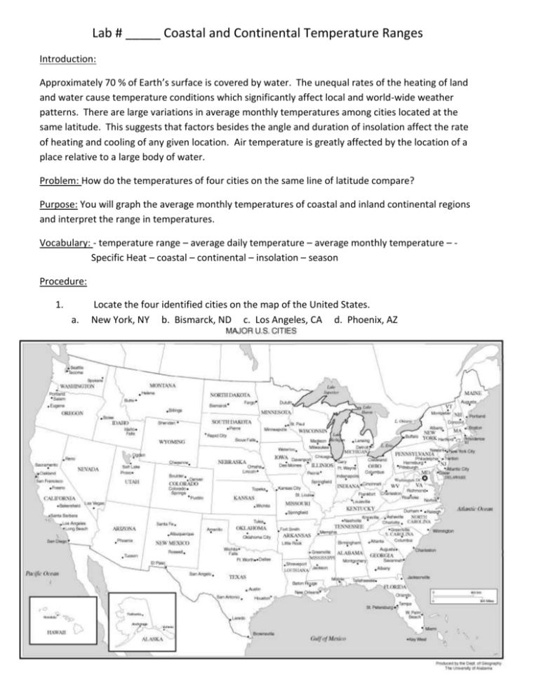
Lab # _____ Coastal and Continental Temperature Ranges Introduction: Approximately 70 % of Earth’s surface is covered by water. The unequal rates of the heating of land and water cause temperature conditions which significantly affect local and world-wide weather patterns. There are large variations in average monthly temperatures among cities located at the same latitude. This suggests that factors besides the angle and duration of insolation affect the rate of heating and cooling of any given location. Air temperature is greatly affected by the location of a place relative to a large body of water. Problem: How do the temperatures of four cities on the same line of latitude compare? Purpose: You will graph the average monthly temperatures of coastal and inland continental regions and interpret the range in temperatures. Vocabulary: - temperature range – average daily temperature – average monthly temperature – Specific Heat – coastal – continental – insolation – season Procedure: 1. a. Locate the four identified cities on the map of the United States. New York, NY b. Bismarck, ND c. Los Angeles, CA d. Phoenix, AZ 2. Graph the average monthly temperatures for the four cities given on the data chart. Plot all four curves on the same set of axes. Use a different symbol for each city and include a key. Jan New York, NY 32 Bismarck, ND 7 Los Angeles, CA 57 Phoenix, AZ 52 Feb 33 15 59 56 Mar 41 26 60 61 Apr 53 43 62 68 May 62 55 65 77 June 71 64 69 87 July 77 70 74 92 Aug 75 69 75 90 Sept 68 57 73 85 Oct 56 46 69 73 Nov 47 29 63 61 Dec 36 15 58 55 Questions: 1. Even if you didn’t know these were all cities of the United States (hint* in the Northern Hemisphere), how could you tell from the temperature curves that they were all in the Northern Hemisphere? 2. Which city has the greatest yearly temperature range? 3. Explain the cause for the greater range you observed in question number two. 4. How do the rates of heating and cooling differ for New York and Bismarck? 5. What is the yearly temperature range for Los Angeles? 6. What is the yearly temperature range for Phoenix? 7. Since los Angeles and Phoenix are at the same latitude, what can you infer about the intensity of insolation at both locations? 8. Considering the intensity of insolation for Los Angeles and Phoenix, explain the differences in the temperature curves for the two cities. 9. How does the lack of atmospheric moisture in California’s Mohave Desert cause a large daily temperature range? (Consider the high specific heat of water and low specific heat of land) Conclusion: Describe the difference in the annual temperature range between a coastal region and an inland region. Discuss the primary cause of this difference. Include how specific heat relates to the concept. Identify a city from the map, that you might like to live in and discuss the climate and temperature range you would expect it to have.
