Topographic Map Creation
advertisement
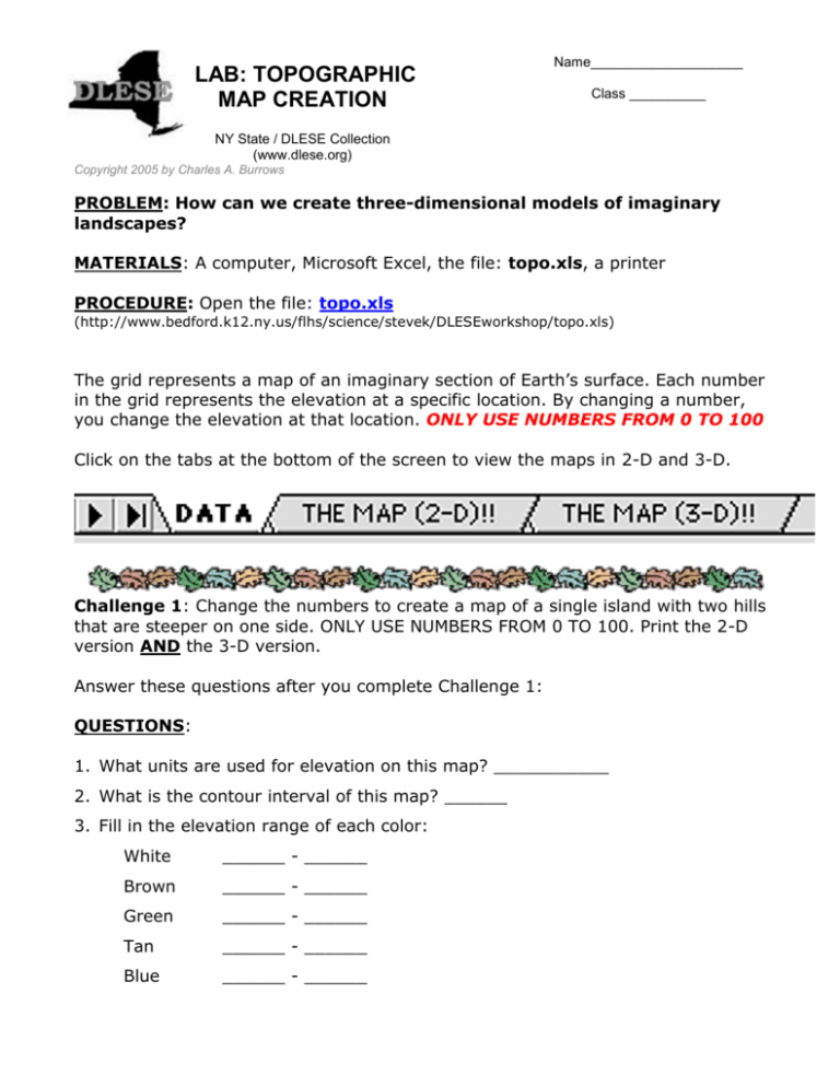
LAB: TOPOGRAPHIC MAP CREATION Name____________________ Class __________ NY State / DLESE Collection (www.dlese.org) Copyright 2005 by Charles A. Burrows PROBLEM: How can we create three-dimensional models of imaginary landscapes? MATERIALS: A computer, Microsoft Excel, the file: topo.xls, a printer PROCEDURE: Open the file: topo.xls (http://www.bedford.k12.ny.us/flhs/science/stevek/DLESEworkshop/topo.xls) The grid represents a map of an imaginary section of Earth’s surface. Each number in the grid represents the elevation at a specific location. By changing a number, you change the elevation at that location. ONLY USE NUMBERS FROM 0 TO 100 Click on the tabs at the bottom of the screen to view the maps in 2-D and 3-D. Challenge 1: Change the numbers to create a map of a single island with two hills that are steeper on one side. ONLY USE NUMBERS FROM 0 TO 100. Print the 2-D version AND the 3-D version. Answer these questions after you complete Challenge 1: QUESTIONS: 1. What units are used for elevation on this map? ___________ 2. What is the contour interval of this map? ______ 3. Fill in the elevation range of each color: White ______ - ______ Brown ______ - ______ Green ______ - ______ Tan ______ - ______ Blue ______ - ______ 4. On the printed 2-D map, label the following contour lines: 20, 40, 60, 80 5. What is the highest elevation on this map? ______ The lowest? ______ 6. If each box represents one square kilometer, what is the longest distance across your island from left to right? ____________ 7. What is the elevation of the highest hill? ____________ 8. What is the distance from the nearest coast to the top of the highest hill? ______ 9. Calculate the gradient (using proper units) of the highest hill using your answers to questions 7 and 8. Gradient = Change in Elevation ÷ Distance Gradient = ____________ ÷ ______________ Gradient = _____________ Challenge 2: Create a map of a volcanic island with a crater on top. Print the 3-D version only. ONLY USE NUMBERS FROM 0 TO 100 Challenge 3: Create a map of volcanic "hot spot" islands (like Hawaii). Print the 3D version only. ONLY USE NUMBERS FROM 0 TO 100 Challenge 4: Create a map of an island with a narrow inlet into a large bay. Print the 3-D version only. ONLY USE NUMBERS FROM 0 TO 100 Challenge 5: Create a map of a coastline with a barrier island and a hook. Print the 3-D version only. ONLY USE NUMBERS FROM 0 TO 100 Challenge 6: Create a map of a two valleys: one V-shaped (river) and one Ushaped (glacial). Print the 3-D version only. ONLY USE NUMBERS FROM 0 TO 100 EXCEL TIPS: Try using the Fill option under the Edit menu to rapidly copy the same numbers into rows or columns. For more realistic surfaces, try entering this instead of numbers: =RAND()*100 You can change the appearance of the 3-D map by clicking on 3-D View… in the Chart menu. Select the options you want. You can also rotate the chart by using the mouse. Click the intersection of any two axes to select the corners of the chart, and then drag a corner to adjust the elevation and rotation in the chart. (To view the data markers, hold down control or apple while you drag.)
