Hydrogeology, hydrogeochemistry and isotope hydrology of
advertisement
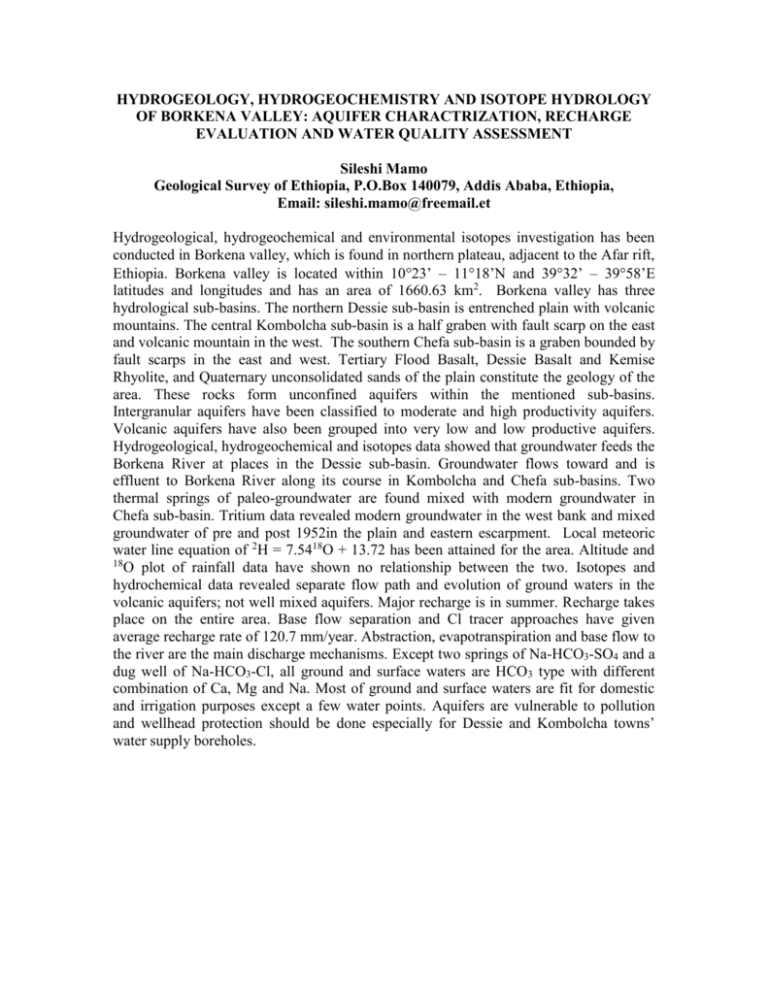
HYDROGEOLOGY, HYDROGEOCHEMISTRY AND ISOTOPE HYDROLOGY OF BORKENA VALLEY: AQUIFER CHARACTRIZATION, RECHARGE EVALUATION AND WATER QUALITY ASSESSMENT Sileshi Mamo Geological Survey of Ethiopia, P.O.Box 140079, Addis Ababa, Ethiopia, Email: sileshi.mamo@freemail.et Hydrogeological, hydrogeochemical and environmental isotopes investigation has been conducted in Borkena valley, which is found in northern plateau, adjacent to the Afar rift, Ethiopia. Borkena valley is located within 1023’ – 1118’N and 3932’ – 3958’E latitudes and longitudes and has an area of 1660.63 km2. Borkena valley has three hydrological sub-basins. The northern Dessie sub-basin is entrenched plain with volcanic mountains. The central Kombolcha sub-basin is a half graben with fault scarp on the east and volcanic mountain in the west. The southern Chefa sub-basin is a graben bounded by fault scarps in the east and west. Tertiary Flood Basalt, Dessie Basalt and Kemise Rhyolite, and Quaternary unconsolidated sands of the plain constitute the geology of the area. These rocks form unconfined aquifers within the mentioned sub-basins. Intergranular aquifers have been classified to moderate and high productivity aquifers. Volcanic aquifers have also been grouped into very low and low productive aquifers. Hydrogeological, hydrogeochemical and isotopes data showed that groundwater feeds the Borkena River at places in the Dessie sub-basin. Groundwater flows toward and is effluent to Borkena River along its course in Kombolcha and Chefa sub-basins. Two thermal springs of paleo-groundwater are found mixed with modern groundwater in Chefa sub-basin. Tritium data revealed modern groundwater in the west bank and mixed groundwater of pre and post 1952in the plain and eastern escarpment. Local meteoric water line equation of 2H = 7.5418O + 13.72 has been attained for the area. Altitude and 18 O plot of rainfall data have shown no relationship between the two. Isotopes and hydrochemical data revealed separate flow path and evolution of ground waters in the volcanic aquifers; not well mixed aquifers. Major recharge is in summer. Recharge takes place on the entire area. Base flow separation and Cl tracer approaches have given average recharge rate of 120.7 mm/year. Abstraction, evapotranspiration and base flow to the river are the main discharge mechanisms. Except two springs of Na-HCO3-SO4 and a dug well of Na-HCO3-Cl, all ground and surface waters are HCO3 type with different combination of Ca, Mg and Na. Most of ground and surface waters are fit for domestic and irrigation purposes except a few water points. Aquifers are vulnerable to pollution and wellhead protection should be done especially for Dessie and Kombolcha towns’ water supply boreholes.
