Black Range State Park - Park Note (accessible
advertisement
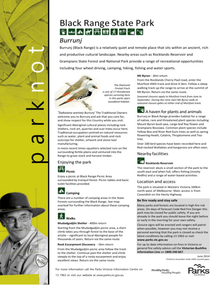
Black Range State Park Burrunj parknot es Burrunj (Black Range) is a relatively quiet and remote place that sits within an ancient, rich and productive cultural landscape. Nearby areas such as Rocklands Reservoir and Grampians State Forest and National Park provide a range of recreational opportunities including four wheel driving, camping, hiking, fishing and water sports. The Diamond Firetail Finch is one of 17 threatened species surviving here in this parks open woodland habitat. Mt Byron - 3km return From the Rocklands Cherry Pool road, enter the Muirfoot 4WD track and drive 4.5km. Follow a steep walking track up the range to arrive at the summit of Mt Byron. Return via the same route. Seasonal closures apply to Muirfoot track from June to September. During this time start Mt Byron walk at seasonal closure gates at either end of Muirfoot track. A haven for plants and animals ‘Dalkaiana wartaty Burrunj’ The Traditional Owners welcome you to Burrunj and ask that you care for, and show respect for this Country while you visit. Significant Aboriginal cultural places including rock shelters, rock art, quarries and scar-trees occur here. Traditional occupation centred on natural resources such as water, plant and animal foods and rock outcrops for shelter, artwork and stone tool manufacturing. In more recent times squatters selected runs on the surrounding fertile plains and ventured into the Range to graze stock and harvest timber. Burrunj or Black Range provides habitat for a range of native, rare and threatened plant species including Mount Byron bush-pea, Large-leaf Ray flower and Grampians Bossiaea. Common plant species include Yellow Box and River Red Gum trees as well as spring flowering Heath, Calatrix, Thryptomene and Teatree. Over 100 bird species have been recorded here and Red-necked Wallabies and kangaroos are often seen. Nearby facilities Enjoying the park Picnic Enjoy a picnic at Black Range Picnic Area surrounded by tranquil forest. Picnic tables and basic toilet facilities provided. Camping There are a number of camping areas in the State Forests surrounding the Black Range. See map overleaf for further information about these camping areas. Walks Mudadgadjiin Shelter - 400m return Starting from the Mudadgadjiin picnic area, a short climb takes you through forest to the base of the artsite – significant to local Aboriginal people for thousands of years. Return via the same route. Rock Escarpment Discovery - 5km return From the Mudadgadjiin picnic area follow the track to the shelter. Continue past the shelter and climb steeply to the top of a rocky escarpment and enjoy excellent views. Return via the same route. Rocklands Reservoir The reservoir abuts a small section of the park to the south-east and when full, offers fishing (mostly Redfin) and a range of water-based activities. Location and access The park is situated in Western Victoria 340km north-west of Melbourne. Main access is from Cavendish on the Henty Highway. Be fire ready and stay safe Many parks and forests are located in high fire risk areas. On days of forecast Code Red Fire Danger this park may be closed for public safety. If you are already in the park you should leave the night before or early in the morning for your own safety. Closure signs will be erected and rangers will patrol when possible, however you may not receive a personal warning that the park is closed so check the latest conditions by calling 13 1963 or visit www.parks.vic.gov.au For up to date information on fires in Victoria or general fire safety advice call the Victorian Bushfire Information Line on 1800 240 667. For more information call the Parks Victoria Information Centre on 13 1963 or visit our website at www.parks.vic.gov.au June 2014 Printed on Australian-made 100% recycled paper
