Vessel needs, options and restrictions related to minimizing risk to
advertisement
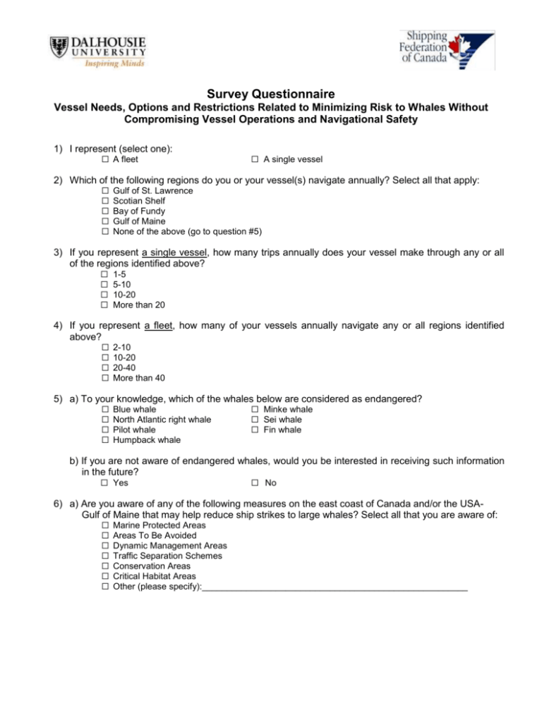
Survey Questionnaire Vessel Needs, Options and Restrictions Related to Minimizing Risk to Whales Without Compromising Vessel Operations and Navigational Safety 1) I represent (select one): ☐ A fleet ☐ A single vessel 2) Which of the following regions do you or your vessel(s) navigate annually? Select all that apply: ☐ ☐ ☐ ☐ ☐ Gulf of St. Lawrence Scotian Shelf Bay of Fundy Gulf of Maine None of the above (go to question #5) 3) If you represent a single vessel, how many trips annually does your vessel make through any or all of the regions identified above? ☐ ☐ ☐ ☐ 1-5 5-10 10-20 More than 20 4) If you represent a fleet, how many of your vessels annually navigate any or all regions identified above? ☐ ☐ ☐ ☐ 2-10 10-20 20-40 More than 40 5) a) To your knowledge, which of the whales below are considered as endangered? ☐ ☐ ☐ ☐ Blue whale North Atlantic right whale Pilot whale Humpback whale ☐ Minke whale ☐ Sei whale ☐ Fin whale b) If you are not aware of endangered whales, would you be interested in receiving such information in the future? ☐ Yes ☐ No 6) a) Are you aware of any of the following measures on the east coast of Canada and/or the USAGulf of Maine that may help reduce ship strikes to large whales? Select all that you are aware of: ☐ ☐ ☐ ☐ ☐ ☐ ☐ Marine Protected Areas Areas To Be Avoided Dynamic Management Areas Traffic Separation Schemes Conservation Areas Critical Habitat Areas Other (please specify):______________________________________________________ b) By what means did you become aware of these measures? ☐ ☐ ☐ ☐ ☐ Navigational charts ☐ Notice to Mariners Bridge placards ☐ Automatic Identification System (AIS) messages Direct mail ☐ Mobile device apps Websites ☐ IMO Safety of Navigation Circulars (SN/Circ.) Other (please specify):_________________________________________ c) If you are not aware of these measures, would you be interested in receiving advisory information in the future? ☐ Yes ☐ No 7) When would you need information on whale locations in order to help you avoid collisions with whales? ☐ ☐ ☐ ☐ I do not need such information I need the information before leaving port I need the information within a few hours of arrival at the location I am able to respond immediately if and when I receive such information 8) If you were provided with near real-time information on whale locations during a voyage, in what format would you prefer to receive the information? Select all that apply: ☐ ☐ ☐ ☐ VHF radio ☐ Marine Traffic Control Services (MTCS) Mobile device apps ☐ Automatic Information System (AIS) message NAVTEX ☐ Web pages Other suggestions: _________________________________________________ 9) How disruptive would near real-time information be to bridge protocols if received in one or more of the following formats? VHF radio broadcasts MTCS advisories AIS messages NAVTEX Mobile device apps Web pages Not disruptive Moderately disruptive Very disruptive ☐ ☐ ☐ ☐ ☐ ☐ ☐ ☐ ☐ ☐ ☐ ☐ ☐ ☐ ☐ ☐ ☐ ☐ 10) How much would you or your corporation be willing to spend for the technology to enable you to receive real-time whale location information on the bridge? ☐ $0 ☐ $1-100 ☐ $100-500 ☐ $500-$1000 ☐ More than $1000 Thank you very much for participating! By returning the survey you acknowledge that you have read the explanation of this study and agree to participate, that you have been given opportunity to discuss it, and that your participation is entirely voluntary. Please forward this completed survey form by regular mail, fax or email to: Caroline Gravel Shipping Federation of Canada 300 St. Sacrement, Suite 326 Montreal, QC, H2Y 1X4 Fax: 01-514-849-8774 cgravel@shipfed.ca
![Blue and fin whale populations [MM 2.4.1] Ecologists use the](http://s3.studylib.net/store/data/008646945_1-b8cb28bdd3491236d14c964cfafa113a-300x300.png)


