Reading Handout
advertisement

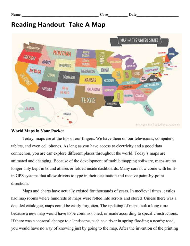
Name _______________________________ Core________ Date_________________ Reading Handout- Take A Map World Maps in Your Pocket Today, maps are at the tips of our fingers. We have them on our televisions, computers, tablets, and even cell phones. As long as you have access to electricity and a good data connection, you are can explore different places throughout the world. Today’s maps are animated and changing. Because of the development of mobile mapping software, maps are no longer only kept in bound atlases or folded inside dashboards. Many cars now come with builtin GPS systems that allow drivers to type in their destination and receive point-by-point directions. Maps and charts have actually existed for thousands of years. In medieval times, castles had map rooms where hundreds of maps were rolled into scrolls and stored. Unless there was a detailed catalogue, maps could be easily forgotten. The updating of maps took a long time because a new map would have to be commissioned, or made according to specific instructions. If there was a seasonal change to a landscape, such as a river in spring flooding a nearby road, you would have no way of knowing just by going to the map. After the invention of the printing press, maps became more widely available and faster to change, but they still needed to be copied and carried to other locations by foot or horse. There was also another problem: you were stuck with one map of an area. If you wanted to move outside of the mapped borders, you needed to buy or borrow a whole new map! Today, much of our society is electronically based. Many things you use, like your music, movies, and even textbooks, can all be stored electronically. Why should maps be any different? The Internet has allowed for the preservation of information. We can now access the map Magellan used to circle the globe. However, although old maps are helpful for research, they will not help you find the nearest hotel on a road trip. That’s where mobile mapping software comes in. You may already have access to mobile mapping software, even if you don’t know it. But what is it? Mobile mapping is the process by which data from your cell phone, tablet, or other chip sensor is received by a global positioning system (GPS). The receiver uses data from four satellites to determine where the sensor is in relation to the area the satellites cover. A signal is taken from your cell phone and relayed through a cell tower to a satellite to determine your position on Earth. This is called georeferencing. Software has been developed that creates complicated maps of the world so that your location can be quickly pinpointed. Georeferencing can be done in many ways, such as the collection of camera images like the Google street view. Maps to the Rescue! The software in GPS systems can help emergency responders travel to the scene of an accident quickly and safely. This is because many GPS systems have layers that collect data such as traffic patterns, construction alerts, and weather conditions. Immediate access to this information can help responders choose the best route to reach the accident location. For hikers and campers, GPS systems can help keep a vacation safe. If hikers lose their path in the woods or on a mountain, they can use their GPS to find their way back to the trail without going deeper into the wilderness. Or, if they do become lost, they can signal their location to responders so they can be quickly found. This is helpful in the mountains especially, where the weather can quickly change. Hikers may leave on a summer’s morning and as they move into higher elevations become stranded because of quickly moving storms. Having access to a map that pinpoints your exact location is not only useful, but it is a potential lifesaver! Maps for Travelers Having easy access to applications such as Googlemaps, Mapquest, or Telenav through cell phones can help people navigate cities and towns that they have never visited before. Not only are the maps continually updated, but new software has allowed tourist destinations and public transportation routes to be marked directly on the map. If you were visiting Washington, DC, you could fly into Dulles International Airport and navigate your way through the Metro to the National Zoo or Lincoln Memorial without even asking for directions. Mobile mapping software has allowed Earth to be mapped electronically. Old maps are not useless, however. Any person interested in history can analyze the maps of the first explorers to see how they compare to the ones designed through satellite images. Now every person can become skilled in map reading and geography. Mobile mapping allows for everyone to have access to maps, and maps are no longer stored in dusty map rooms to be forgotten over time. Mobile mapping has changed the way modern society operates. Now we have cars that can give us spoken directions, and cell phones that pinpoint exactly where we are. What are some ways mobile mapping impacts your life? How would your life be different without it? _____________________________________________________________________________ Question (8 points) 1. In just 20 years, many people have switched from relying on paper maps to using electronic maps. What do you think the next advance in global mapping will be? Why? Use ideas from the passage to support your answer.


![[] gst/documents/GeoSpatialTechK](http://s3.studylib.net/store/data/009447709_1-59d6c40790bfac90a52fb52ed031c1c8-300x300.png)


