Mapping My River Basin Super MOD
advertisement
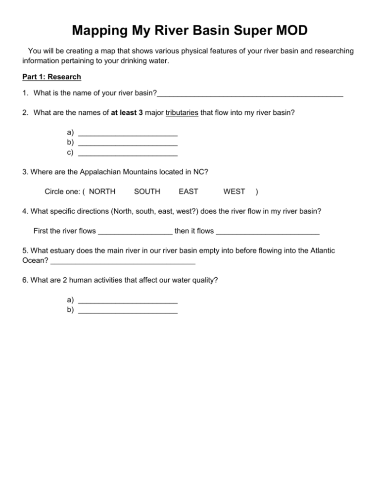
Mapping My River Basin Super MOD You will be creating a map that shows various physical features of your river basin and researching information pertaining to your drinking water. Part 1: Research 1. What is the name of your river basin?_____________________________________________ 2. What are the names of at least 3 major tributaries that flow into my river basin? a) ________________________ b) ________________________ c) ________________________ 3. Where are the Appalachian Mountains located in NC? Circle one: ( NORTH SOUTH EAST WEST ) 4. What specific directions (North, south, east, west?) does the river flow in my river basin? First the river flows __________________ then it flows _________________________ 5. What estuary does the main river in our river basin empty into before flowing into the Atlantic Ocean? ___________________________________ 6. What are 2 human activities that affect our water quality? a) ________________________ b) ________________________ Part 2: Creating Your Map Step 1: Use different colors to LIGHTLY shade in the different elevations/regions of NC Brown = mountains Orange = piedmont Yellow =coast plains Step 2: Use a purple colored pencil to outline the boarder of your river basin. Step 3: Use your pencil to label Cabarrus County in our river basin. Step 4: In blue colored pencil, draw in and label the names of the major rivers (both of them) and tributaries (3 minimum) that drain our river basin. Use arrows on the river lines to show the direction the water is flowing. Example: ------------ Step 5: Use a red asterisk to represent the location of our school. Step 6: Use your pencil to label the name of the estuary that the Yadkin Pee –Dee empties into. Step 7: Title your map on the front and put your name, date and class period below the title, in smaller writing. Part 3: Use your and data from your map to answer the questions below. 1. Harrisburg has been continually growing over the last several years. Where would you expect to see better water quality, in the North Yadkin River or Rocky River? Explain why. (2pts.) ________________________________________________________________________________ ________________________________________________________________________________ 2. Explain why the Yadkin River flows north and then makes a 90 degree turn to flow south. (1 pts.) ________________________________________________________________________________ ________________________________________________________________________________ Rubric Task Points Research complete Shading is used to mark changes in elevation Cabarrus County labeled Main rivers are drawn in and labeled in blue 3 tributaries are drawn in and labeled in blue Location of our school The correct estuary is labeled in the correct place. The name of your river basin is your title The key on the back of you map is complete and accurate The boarder of my river basin is drawn in Ground water reading and water pollution reading Questions _________ / 23 3 2 1 6 4 2 2 1 0 5 3 1 1 0 2 1 0 1 10 0 8 6 0 0 0 4 2 0 2 1 0 _________ / 20 _________/15 Total ___________ / 100 points ____________________ % Helpful maps:
