Buffalo National River Comments - Buffalo River Watershed Alliance
advertisement
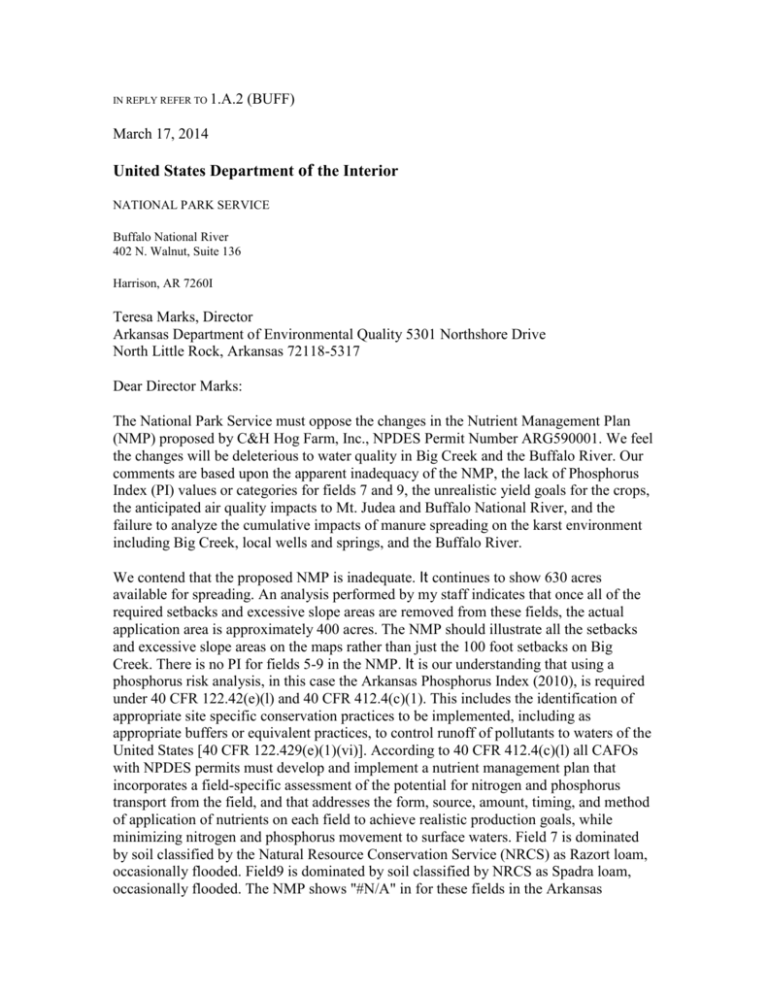
IN REPLY REFER TO 1.A.2 (BUFF) March 17, 2014 United States Department of the Interior NATIONAL PARK SERVICE Buffalo National River 402 N. Walnut, Suite 136 Harrison, AR 7260I Teresa Marks, Director Arkansas Department of Environmental Quality 5301 Northshore Drive North Little Rock, Arkansas 72118-5317 Dear Director Marks: The National Park Service must oppose the changes in the Nutrient Management Plan (NMP) proposed by C&H Hog Farm, Inc., NPDES Permit Number ARG590001. We feel the changes will be deleterious to water quality in Big Creek and the Buffalo River. Our comments are based upon the apparent inadequacy of the NMP, the lack of Phosphorus Index (PI) values or categories for fields 7 and 9, the unrealistic yield goals for the crops, the anticipated air quality impacts to Mt. Judea and Buffalo National River, and the failure to analyze the cumulative impacts of manure spreading on the karst environment including Big Creek, local wells and springs, and the Buffalo River. We contend that the proposed NMP is inadequate. It continues to show 630 acres available for spreading. An analysis performed by my staff indicates that once all of the required setbacks and excessive slope areas are removed from these fields, the actual application area is approximately 400 acres. The NMP should illustrate all the setbacks and excessive slope areas on the maps rather than just the 100 foot setbacks on Big Creek. There is no PI for fields 5-9 in the NMP. It is our understanding that using a phosphorus risk analysis, in this case the Arkansas Phosphorus Index (2010), is required under 40 CFR 122.42(e)(l) and 40 CFR 412.4(c)(1). This includes the identification of appropriate site specific conservation practices to be implemented, including as appropriate buffers or equivalent practices, to control runoff of pollutants to waters of the United States [40 CFR 122.429(e)(1)(vi)]. According to 40 CFR 412.4(c)(l) all CAFOs with NPDES permits must develop and implement a nutrient management plan that incorporates a field-specific assessment of the potential for nitrogen and phosphorus transport from the field, and that addresses the form, source, amount, timing, and method of application of nutrients on each field to achieve realistic production goals, while minimizing nitrogen and phosphorus movement to surface waters. Field 7 is dominated by soil classified by the Natural Resource Conservation Service (NRCS) as Razort loam, occasionally flooded. Field9 is dominated by soil classified by NRCS as Spadra loam, occasionally flooded. The NMP shows "#N/A" in for these fields in the Arkansas Nutrient nt Management Planner row for "Flooding Frequency". Occasionally flooded referstoaninundationprobabilityof20%. A 20% flood probability is commonly known as a 5 year event. Floods can carry significant quantities of soilparticles downstream. The proposed NMP has no phosphorus index developed for fields 5-9 and therefore does not meet the minimum requirements of the CFR. Fort this reason, we support the rejection of the proposed NMP. The NMP shows a yield goal of 6.5 tons per acre of Bermudagrass. These yield goals seem unrealistic for common Bermudagrass which has an estimated potential yield of 5.8 tons per acre according to "General Traits of Forage Grasses Grown in Arkansas" published by the University of Arkansas Cooperative Extension Service, publication number FSA2139. The PI is based, in part, on the uptake of nutrients based upon yield goals; therefore, unrealistic yield goals result in unrealistic PI values. In addition to the unrealistic yield goals, the NMP places unrealistic nutrient recommendations into the "Nutrients Applied (lb./ac)" columns. For instance, the N-P-K agronomic rates recommended for Field 7 are 60-0-0, for Field 8 they are 60-0-160, and for Field 9 they are 60-0-160. The "Nutrients Applied" column in the NMP calls for an N-P-K of489-376-379 for all three fields. This is after the assumptions for nutrient loss through storage, mineralization, and application loss is taken into account. Where do these excess nutrients go? The plants cannot take them all up. Much of the N (nitrogen) will likely leach into the groundwater as it is quite mobile. The excess P (phosphorus) will most probably be transported off the fields in heavy rains, or in its dissolved mobile forms it will leach into the groundwater. This will result in increased primary production in Big Creek of algae and periphyton, and a depletion of already low dissolved oxygen at night, potentially impairing aquatic fauna in Big Creek and the Buffalo River. We would consider such a reduction in dissolved oxygen to be an injury to the resources and values of Buffalo National River. The proposed change will increase the application rate of N-P-K on fields 7, 8, and 9. The current NMP allows for the use of a pump, pipeline, and sprinkler system to these fields, with waste drawn from Waste Storage Pond #2 (WSP#2). This system is not in place yet. The proposed NMP would allow for waste from Waste Storage Pond #1 (WSP#1) to be applied to these fields by means of a tanker truck. The NMP shows no adjustments in the application rate to compensate for the increased concentration of nutrients. WSP#1 has 7.52 pounds N per 1,000 gallons. WSP#2 has 6.04 pounds N per 1,000 gallons. WSP #1 has 1.48 pounds more N per 1,000 gallons than WSP#2, an increase of 25%. WSP#1 has 1.90 pounds of Water Extractable Phosphorus (WEP) per 1,000 gallons. WSP#2 has 0.07 pounds WEP per 1,000 gallons. WSP#1 has 1.83 pounds more WEP per 1,000 gallons than WSP#2, an incredible increase of 2,614%! From this provisional comparison ofthe differences, it seems obvious that the proposed NMP is much more likely to cause pollution ofBig Creek and the Buffalo River than the original NMP. On those grounds, the modification should be rejected. Application of liquid swine waste produces noxious and unpalatable air emissions. Some of these emissions are harmful to breathe. When assessing air impacts, features such as schools, nursing homes, and hospitals are often considered sensitive receptors. Field 7 is directly across Big Creek from the Mt. Judea School. In fact, the eastern edge of the field approaches to within 300 feet of the track and 1,000 feet of the playground. We feel the health of the students, faculty, and staff of the school has not been taken into consideration. Several elderly individuals also live near the spreading fields. Was the proximity of the fields and facility to their residences taken into account? The valleys in the Buffalo River drainage basin often experience inversion layers. Cool air sinks into the valleys and is held down by warmer air above. These inversion layers make for beautiful morning photography as the valley bottoms are shrouded in fog and mist under a crystal clear sky above. These inversion layers also facilitate the lateral movement of odors, particulates, and gasses very easy. As these noxious fumes drain down toward the river under the influence of gravity, we fear that lower Big Creek and the Buffalo River will soon become offensive for our visitors and neighbors living on the valley bottom. The quality of the visitation experience within Buffalo National River is an important issue and ultimately drives the economic benefits to the wider community that constitutes the state and local tourism industry. As precarious as the economic health of this region already is, additional disincentives for visiting the Buffalo should be avoided wherever possible. The entire facility, with the exception of part of fields 4 and 17 is located on the Boone Formation, the most cave-rich limestone in Arkansas. The Boone in this area contains abundant chert. This chert does not dissolve, so it fills sinkholes. This leaves the impression that flow paths such as sinkholes from the surface to the groundwater do not exist. This cherty mantle is in fact a feature of limestone dissolution, so is a karst feature. The bedrock surface under these cherty mantles is typically very undulating with cutters and pinnacles. The cutters usually represent dominant fracture planes in the bedrock developed by the tectonic stresses the rock has experienced. Cutters tend to be linear or rectilinear in nature. The pinnacles are knobs of relatively undissolved bedrock between these fractures. The cutters concentrate infiltration liquids and funnel it into the underlying fractures, resulting in recharge of the aquifer. Once these liquids pass through the cherty mantle, there is little or no attenuation of contaminants. They flow relatively unimpeded through conduits to re-surface in Big Creek or the Buffalo River. This scenario is common throughout this region and transportation of untreated animal waste would pose a risk to the health and safety of people participating in water based recreation in Buffalo River. Animal waste pollution, not attenuated can be detected using basic water quality monitoring techniques. During the past year, my staff has done a tremendous amount of water quality sampling on Big Creek and the Buffalo River near their confluence to better understand the baseline conditions prior to the full implementation of the NMP. We are currently developing reports resulting from this effort and water quality issues are already prevalent. From preliminary data, it appears Big Creek already has abnormally low dissolved oxygen regimes and bacteria contamination concentrations that are at times unsafe for recreational contact. The poor water quality conditions in Big Creek also appear to be impacting the water quality of the Buffalo River. And, it should be noted that these conditions existed prior to any untreated hog waste being applied within the Big Creek drainage. Any increases of bacteria and nutrients into the basin are expected to further impair the water quality of Big Creek and the Buffalo River. We would consider any decrease in water quality from this activity to be an injury to the resources and values of Buffalo National River. The National Park Service and ADEQ share a responsibility to maintain the water quality and the scenery of the Buffalo River. Please reject the proposed changes to the NMP for C&H Hog Farm, Inc. Sincerely, Kevin G. Cheri Superintendent cc: Arkansas Health Department, 4815 W. Markham, Little Rock, Arkansas 72205 Arkansas Parks and Transportation Department, One Capitol Mall, Little Rock, Arkansas 72201 US Fish and Wildlife Service, 110 S. Amity Road, Conway, Arkansas 72032 5 5 5 WSP#2, an increase of 25%. WSP#1 has 5.82 pounds ofK20 per 1,000 gallons. WSP#2 has 4.68 pounds K20 per 1,000 gallons. WSP#1 has 1.14 pounds more K20 per 1,000 gallons than WSP#2, an increase of24%.

