Nature Conservation Reserve
advertisement
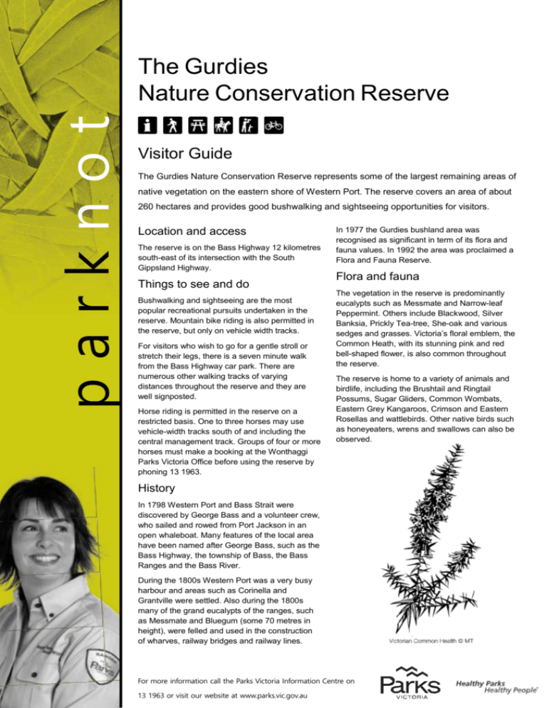
parknot es The Gurdies Nature Conservation Reserve Visitor Guide The Gurdies Nature Conservation Reserve represents some of the largest remaining areas of native vegetation on the eastern shore of Western Port. The reserve covers an area of about 260 hectares and provides good bushwalking and sightseeing opportunities for visitors. Location and access The reserve is on the Bass Highway 12 kilometres south-east of its intersection with the South Gippsland Highway. Things to see and do Bushwalking and sightseeing are the most popular recreational pursuits undertaken in the reserve. Mountain bike riding is also permitted in the reserve, but only on vehicle width tracks. For visitors who wish to go for a gentle stroll or stretch their legs, there is a seven minute walk from the Bass Highway car park. There are numerous other walking tracks of varying distances throughout the reserve and they are well signposted. Horse riding is permitted in the reserve on a restricted basis. One to three horses may use vehicle-width tracks south of and including the central management track. Groups of four or more horses must make a booking at the Wonthaggi Parks Victoria Office before using the reserve by phoning 13 1963. In 1977 the Gurdies bushland area was recognised as significant in term of its flora and fauna values. In 1992 the area was proclaimed a Flora and Fauna Reserve. Flora and fauna The vegetation in the reserve is predominantly eucalypts such as Messmate and Narrow-leaf Peppermint. Others include Blackwood, Silver Banksia, Prickly Tea-tree, She-oak and various sedges and grasses. Victoria’s floral emblem, the Common Heath, with its stunning pink and red bell-shaped flower, is also common throughout the reserve. The reserve is home to a variety of animals and birdlife, including the Brushtail and Ringtail Possums, Sugar Gliders, Common Wombats, Eastern Grey Kangaroos, Crimson and Eastern Rosellas and wattlebirds. Other native birds such as honeyeaters, wrens and swallows can also be observed. History In 1798 Western Port and Bass Strait were discovered by George Bass and a volunteer crew, who sailed and rowed from Port Jackson in an open whaleboat. Many features of the local area have been named after George Bass, such as the Bass Highway, the township of Bass, the Bass Ranges and the Bass River. During the 1800s Western Port was a very busy harbour and areas such as Corinella and Grantville were settled. Also during the 1800s many of the grand eucalypts of the ranges, such as Messmate and Bluegum (some 70 metres in height), were felled and used in the construction of wharves, railway bridges and railway lines. For more information call the Parks Victoria Information Centre on 13 1963 or visit our website at www.parks.vic.gov.au For further information Parks Victoria Information Centre Call 13 1963 or visit our website at www.parks.vic.gov.au Caring for the environment Help us look after your park by following these guidelines: Take your rubbish home with you for recycling or disposal Please remain on designated tracks. “Bush-bashing” harms vegetation Dogs and other pets are not permitted in the park All native plants and animals are protected No fires including barbecues may be lit on days of Total Fire Ban This park is located in the Central Total Fire Ban District Leave the park as you find it Please don’t throw this park note away. Keep it, return it for others to use, or recycle it August 2012 Printed on Australian-made 100% recycled paper
